
| Distance / Altitude | Location | Report Date / Time | Live Weather | Wind | Gusts | Temp. | Visibility | Cloud |
|---|---|---|---|---|---|---|---|---|
| 111 km WSW / 155 m | Kalumburu (Australia) | 2025-12-25 16:00 local (2025/12/25 08:00 GMT) | Rain | calm (4 km/h at 220) | 27°C | - | - no observation - | |
| 136 km WSW / 52 m | Truscott (Australia) | 2025-12-25 16:00 local (2025/12/25 08:00 GMT) | Clear skies | light winds from the W (19 km/h at 280) | 32°C | - | - no observation - | |
| 159 km SSE / 4 m | Wyndham Aerodrome (Australia) | 2025-12-25 16:00 local (2025/12/25 08:00 GMT) | no report | - (- km/h at -) | 25°C | - | - no observation - | |
| 170 km W / 415 m | Troughton Island (Australia) | 2025-12-25 16:00 local (2025/12/25 08:00 GMT) | no report | light winds from the SW (15 km/h at 220) | 26°C | - | - no observation - | |
| 187 km N / 15 m | SHIP4878 (Marine) | 2025-12-25 14:00 local (2025/12/25 06:00 GMT) | fresh winds from the NW (37.080000000000005 km/h at 320) | 32°C | 17.7 km | |||
| 186 km N / 15 m | SHIP4527 (Marine) | 2025-12-25 14:00 local (2025/12/25 06:00 GMT) | fresh winds from the NW (37.080000000000005 km/h at 320) | 32°C | 17.7 km | |||
| 186 km N / 15 m | SHIP5848 (Marine) | 2025-12-25 14:00 local (2025/12/25 06:00 GMT) | fresh winds from the NW (37.080000000000005 km/h at 320) | 32°C | 17.7 km | |||
| 186 km N / 15 m | SHIP9130 (Marine) | 2025-12-25 14:00 local (2025/12/25 06:00 GMT) | fresh winds from the NW (37.080000000000005 km/h at 320) | 32°C | 17.7 km | |||
| 203 km E / 29 m | Port Keats Airport (Australia) | 2025-12-25 16:00 local (2025/12/25 08:00 GMT) | no report | light winds from the WNW (11 km/h at 300) | 28°C | - | - no observation - | |
| 209 km SSE / 216 m | Kununurra Airport (Australia) | 2025-12-25 15:30 local (2025/12/25 07:30 GMT) | Dry and partly cloudy | wind obs. (11 kph from 360 degs) was rejected (- km/h at -) | 31°C | 10.0 | no cloud broken broken |
| Contours: | Roads & Rivers: | Select a
tide station / surf break / city |
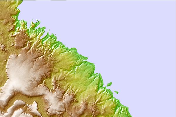
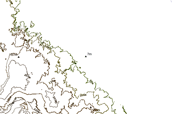

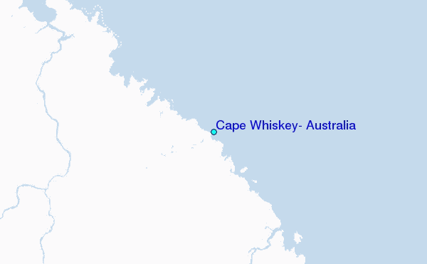
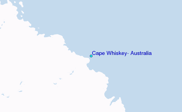
Use this relief map to navigate to tide stations, surf breaks and cities that are in the area of Cape Whiskey, Australia.
Other Nearby Locations' tide tables and tide charts to Cape Whiskey, Australia:
click location name for more details
 Surf breaks close to Cape Whiskey, Australia:
|
||
|---|---|---|
| Closest surf break | Fannie Bay | 245 mi |
| Second closest surf break | Rapid Creek - Bar | 249 mi |
| Third closest surf break | Rapid Creek - Reef | 249 mi |
| Fourth closest surf break | Rapid Creek - Beach | 249 mi |
| Fifth closest surf break | Casuarina (Darwin) | 254 mi |


 Nearest
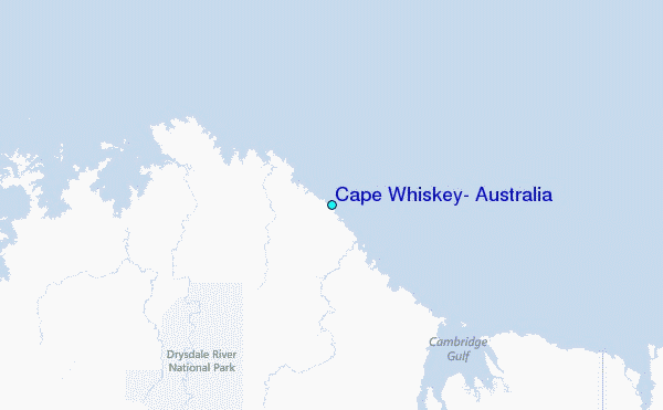