
| Distance / Altitude | Location | Report Date / Time | Live Weather | Wind | Gusts | Temp. | Visibility | Cloud |
|---|---|---|---|---|---|---|---|---|
| 9 km WNW / 4 m | Mount Pleasant Regional Airport-Faison Field (South Carolina) (South Carolina) | 2026-06-09 03:35 local (2026/06/09 07:35 GMT) | Mist - | calm (0 km/h at 0) | — | 10 | ||
| 10 km SE / 3 m | BUOY-41065 (Marine) | 2026-06-09 03:30 local (2026/06/09 07:30 GMT) | - (- km/h at -) | — | - | |||
| 10 km SE / 3 m | BUOY-41029 (Marine) | 2026-06-09 04:08 local (2026/06/09 08:08 GMT) | light winds from the ENE (14 km/h at 60) | 25°C | - | |||
| 22 km SW / 3 m | BUOY-CHTS1 (Marine) | 2026-06-09 04:00 local (2026/06/09 08:00 GMT) | light winds from the ENE (11 km/h at 70) | 24°C | - | |||
| 31 km WSW / 216 m | Charleston Airport (South Carolina) | 2026-06-09 02:56 local (2026/06/09 06:56 GMT) | Dry and partly cloudy | light winds from the E (7 km/h at 90) | 23°C | 16 | few scattered | |
| 33 km SW / 6 m | Charleston Executive Airport (South Carolina) (South Carolina) | 2026-06-09 03:35 local (2026/06/09 07:35 GMT) | Clear | calm (0 km/h at 0) | 23°C | 16 | ||
| 35 km S / 3 m | BUOY-41066 (Marine) | 2026-06-09 04:08 local (2026/06/09 08:08 GMT) | light winds from the ENE (14 km/h at 70) | 25°C | - | |||
| 35 km S / 3 m | BUOY-41076 (Marine) | 2026-06-09 03:40 local (2026/06/09 07:40 GMT) | - (- km/h at -) | — | - | |||
| 46 km NE / 6 m | McClellanville (South Carolina) | 2026-06-09 04:33 local (2026/06/09 08:33 GMT) | dry | calm (0 km/h at 0) | 19°C | - | - - 0 | |
| 47 km WNW / 23 m | Berkeley Moncks County Airport (South Carolina) (South Carolina) | 2026-06-09 03:35 local (2026/06/09 07:35 GMT) | Clear | calm (0 km/h at 0) | 22°C | 16 |
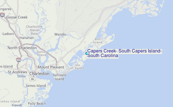
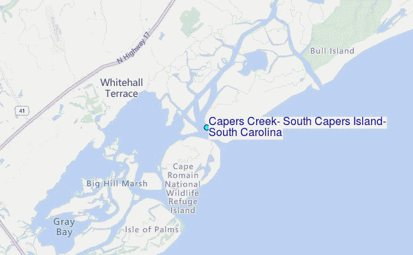
Choose Capers Creek, South Capers Island, South Carolina Location Map Zoom:
| Contours: | Roads & Rivers: | Select a
tide station / surf break / city |
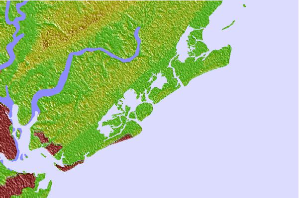

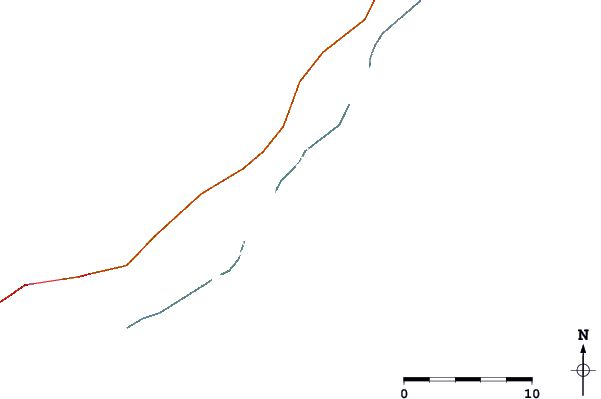
Use this relief map to navigate to tide stations, surf breaks and cities that are in the area of Capers Creek, South Capers Island, South Carolina.
Other Nearby Locations' tide tables and tide charts to Capers Creek, South Capers Island, South Carolina:
click location name for more details
 Surf breaks close to Capers Creek, South Capers Island, South Carolina:
|
||
|---|---|---|
| Closest surf break | Isle of Palms Pier | 4 mi |
| Second closest surf break | 35th Street Iop | 6 mi |
| Third closest surf break | Berts Bar | 10 mi |
| Fourth closest surf break | The Washout | 17 mi |
| Fifth closest surf break | Folly Beach | 19 mi |


 Nearest
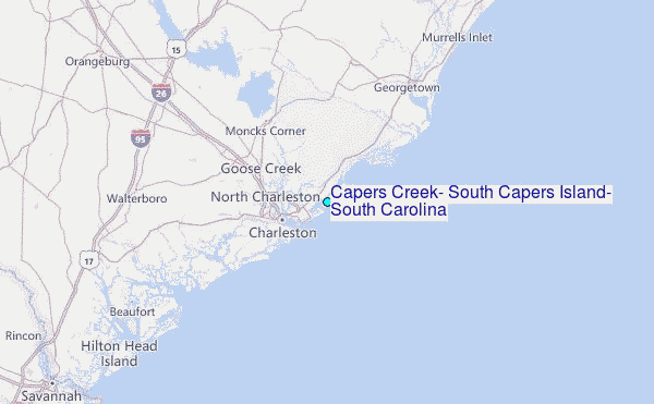