
| Distance / Altitude | Location | Report Date / Time | Live Weather | Wind | Gusts | Temp. | Visibility | Cloud |
|---|---|---|---|---|---|---|---|---|
| 83 km ESE / 245 m | Ixtapa Zihuatane Airport (Mexico) | 2026-05-05 07:43 local (2026/05/05 13:43 GMT) | Dry and partly cloudy | calm (0 km/h at 0) | 27°C | 10 | broken broken | |
| 163 km N / 1568 m | Uruapan/Ignacio López Rayón National Airport (Mexico) | 2026-05-05 07:40 local (2026/05/05 13:40 GMT) | - | calm (0 km/h at 0) | — | 16 | ||
| 210 km WNW / 728 m | Colima (Mexico) | 2026-05-05 07:40 local (2026/05/05 13:40 GMT) | - | light winds from the WNW (19 km/h at 300) | — | 10 | ||
| 210 km WNW / 728 m | Colima Airport (Mexico) | 2026-05-05 06:40 local (2026/05/05 12:40 GMT) | - | calm (0 km/h at 0) | — | 10 | ||
| 225 km NNE / 1913 m | Morelia- Mich. (Mexico) | 2026-05-05 06:00 local (2026/05/05 12:00 GMT) | no report | calm (4 km/h at 240) | 23°C | 8 | - | |
| 229 km N / 1589 m | Zamora (Mexico) | 2026-05-05 06:00 local (2026/05/05 12:00 GMT) | no report | wind obs. (6 kph from 100 degs) was rejected (- km/h at -) | 21°C | 20 | - | |
| 238 km WNW / 1573 m | Rancho de Don Luis Martínez wx (Mexico) | 2026-05-05 06:34 local (2026/05/05 12:34 GMT) | dry | calm (0 km/h at 243) | 15°C | - | - - 0 | |
| 246 km NNE / 1884 m | General Francisco J. Mujica International Airport/Morelia Airport (Mexico) | 2026-05-05 07:40 local (2026/05/05 13:40 GMT) | - | calm (0 km/h at 0) | — | 13 | ||
| 253 km NE / 1750 m | Tuxpan (Mexico) | 2026-05-05 07:21 local (2026/05/05 13:21 GMT) | dry | calm (3 km/h at 77) | 14°C | - | - - 0 | |
| 254 km ENE / 2180 m | El Peñon Take off (Mexico) | 2026-05-05 08:00 local (2026/05/05 14:00 GMT) | - | light winds from the WNW (6 km/h at 283) | 19°C | - | - - 0 |
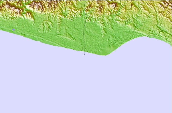
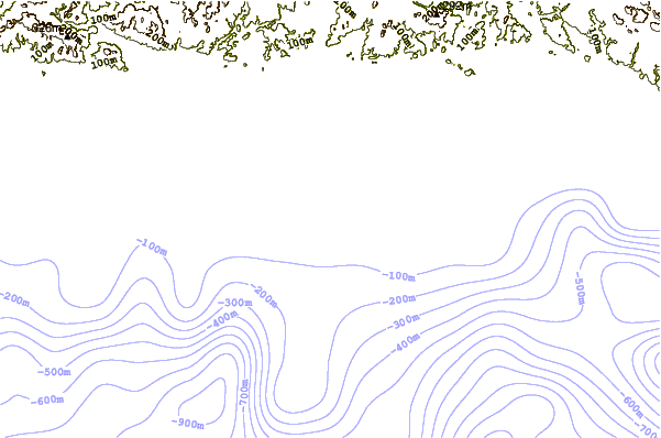
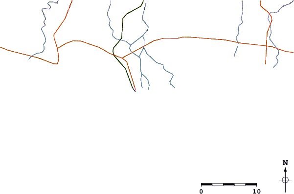
| Contours: | Roads & Rivers: | Select a
tide station / surf break / city |
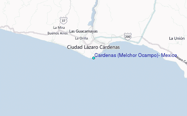
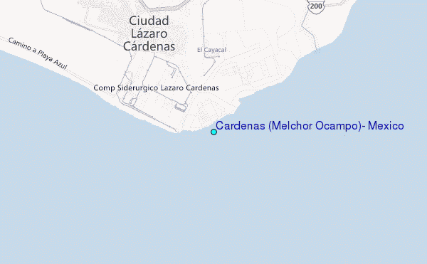
Use this relief map to navigate to tide stations, surf breaks and cities that are in the area of Cardenas (Melchor Ocampo), Mexico.
Other Nearby Locations' tide tables and tide charts to Cardenas (Melchor Ocampo), Mexico:
click location name for more details
 Surf breaks close to Cardenas (Melchor Ocampo), Mexico:
|
||
|---|---|---|
| Closest surf break | El Faro | 4 mi |
| Second closest surf break | Petacalco | 7 mi |
| Third closest surf break | The Ranch | 20 mi |
| Fourth closest surf break | Playa Azul | 21 mi |
| Fifth closest surf break | La Saladita | 27 mi |


 Nearest
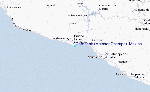