
| Distance / Altitude | Location | Report Date / Time | Live Weather | Wind | Gusts | Temp. | Visibility | Cloud |
|---|---|---|---|---|---|---|---|---|
| 4 km NNE / 20 m | Carmel (California) | 2026-05-03 06:12 local (2026/05/03 13:12 GMT) | dry | calm (0 km/h at 0) | 12°C | - | - - 0 | |
| 8 km N / 63 m | Pebble Beach (California) | 2026-05-03 06:42 local (2026/05/03 13:42 GMT) | dry | calm (0 km/h at 265) | 12°C | - | - - 0 | |
| 10 km NE / 218 m | Monterey Airport (California) | 2026-05-03 05:31 local (2026/05/03 12:31 GMT) | Dry and cloudy | light winds from the SSE (6 km/h at 160) | 12°C | 16 | few overcast | |
| 11 km NNE / 3 m | BUOY-MEYC1 (Marine) | 2026-05-03 05:36 local (2026/05/03 12:36 GMT) | - (- km/h at -) | — | - | |||
| 14 km E / 170 m | Rancho Tierra Grande wx (United States) | 2026-05-03 06:43 local (2026/05/03 13:43 GMT) | dry | calm (0 km/h at 242) | 10°C | - | - - 0 | |
| 22 km NE / 41 m | Fort Ord/Fritzsche Airport (California) (California) | 2026-05-03 05:35 local (2026/05/03 12:35 GMT) | Dry and cloudy | light winds from the WSW (7 km/h at 250) | 12°C | 16 | overcast | |
| 23 km NE / 19 m | East Garrison wx (United States) | 2026-05-03 06:39 local (2026/05/03 13:39 GMT) | dry | calm (5 km/h at 210) | 12°C | - | - - 0 | |
| 25 km WNW / 15 m | SHIP8399 (Marine) | 2026-05-03 04:00 local (2026/05/03 11:00 GMT) | - (- km/h at -) | 14°C | - km | |||
| 25 km WNW / 3 m | SHIP3454 (Marine) | 2026-05-03 04:00 local (2026/05/03 11:00 GMT) | - (- km/h at -) | 26°C | - | |||
| 25 km WNW / 15 m | SHIP4677 (Marine) | 2026-05-03 04:00 local (2026/05/03 11:00 GMT) | - (- km/h at -) | 14°C | - km |
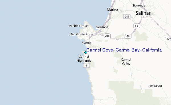
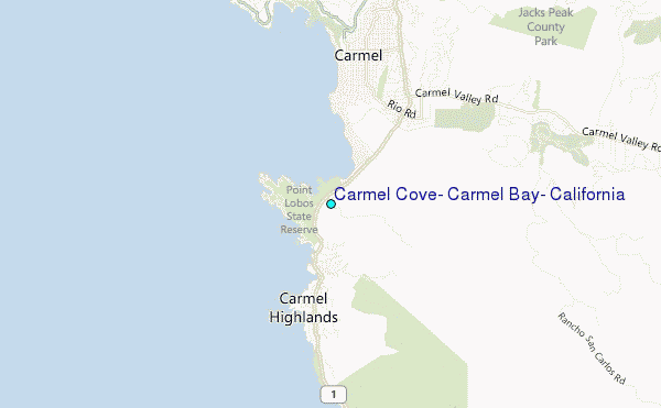
Choose Carmel Cove, Carmel Bay, California Location Map Zoom:
| Contours: | Roads & Rivers: | Select a
tide station / surf break / city |
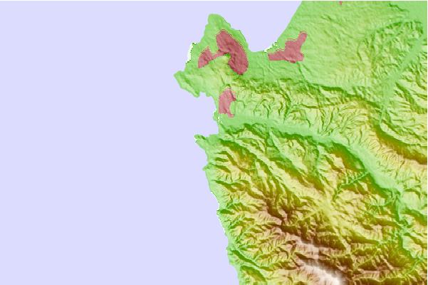
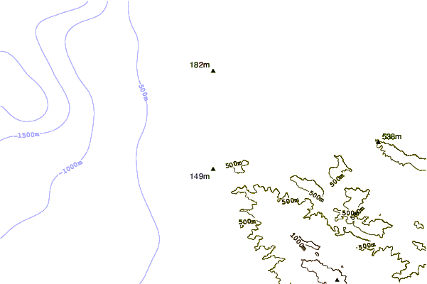
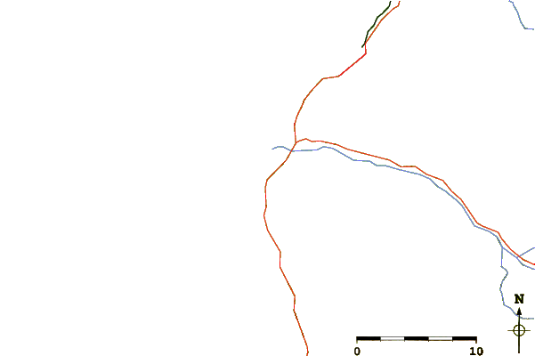
Use this relief map to navigate to tide stations, surf breaks and cities that are in the area of Carmel Cove, Carmel Bay, California.
Other Nearby Locations' tide tables and tide charts to Carmel Cove, Carmel Bay, California:
click location name for more details
 Surf breaks close to Carmel Cove, Carmel Bay, California:
|
||
|---|---|---|
| Closest surf break | Carmel Beach | 2 mi |
| Second closest surf break | Ghost Tree | 3 mi |
| Third closest surf break | Del Monte Beach | 7 mi |
| Fourth closest surf break | Garrapata | 7 mi |
| Fifth closest surf break | Spanish Bay-Cobblestones | 7 mi |


 Nearest
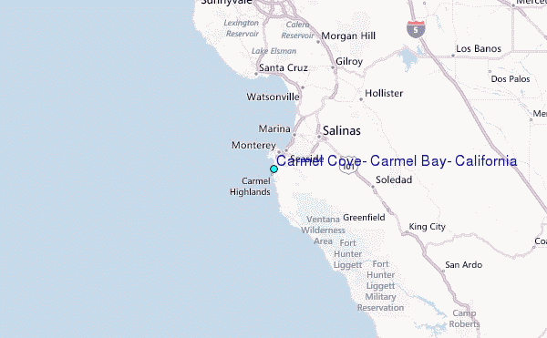