
| Distance / Altitude | Location | Report Date / Time | Live Weather | Wind | Gusts | Temp. | Visibility | Cloud |
|---|---|---|---|---|---|---|---|---|
| 11 km S / 7 m | Carnarvon Airport (Australia) | 2025-12-25 16:00 local (2025/12/25 08:00 GMT) | no report | fresh winds from the WSW (30 km/h at 240) | 28°C | - | - no observation - | |
| 124 km S / 34 m | Shark Bay Airport (Australia) | 2025-12-25 16:00 local (2025/12/25 08:00 GMT) | no report | fresh winds from the WSW (30 km/h at 250) | 29°C | - | - no observation - | |
| 245 km SSE / 117 m | Billabong Asa (Australia) | 2025-12-25 15:00 local (2025/12/25 07:00 GMT) | no report | - (- km/h at -) | — | - | - | |
| 285 km N / 6 m | Learmonth Airport (Australia) | 2025-12-25 16:00 local (2025/12/25 08:00 GMT) | no report | fresh winds from the WSW (31 km/h at 250) | 38°C | - | - no observation - | |
| 287 km N / 214 m | Learmouth Airport (Australia) | 2025-12-25 15:30 local (2025/12/25 07:30 GMT) | Dry and partly cloudy | fresh winds from the W (30 km/h at 270) | 38°C | 10.0 | no cloud | |
| 377 km NNE / 239 m | Onslow Airport (Australia) | 2025-12-25 16:00 local (2025/12/25 08:00 GMT) | Clear skies | fresh winds from the WNW (35 km/h at 290) | 35°C | - | - no observation - | |
| 390 km S / 3 m | North Island (Australia) | 2025-12-25 16:00 local (2025/12/25 08:00 GMT) | no report | moderate winds from the W (28 km/h at 260) | 27°C | - | - no observation - | |
| 394 km NNE / 6 m | ThevenardIsland (Australia) | 2025-12-25 16:00 local (2025/12/25 08:00 GMT) | - | fresh winds from the W (31 km/h at 260) | — | - | - no observation - | |
| 454 km ENE / 424 m | ParaburdooAero (Australia) | 2025-12-25 15:00 local (2025/12/25 07:00 GMT) | Clear skies | wind obs. (13 kph from 230 degs) was rejected (- km/h at -) | 41°C | - | - no observation - | |
| 455 km SSE / 512 m | Geraldton Airport (Australia) | 2025-12-25 16:00 local (2025/12/25 08:00 GMT) | Clear skies | moderate winds from the WNW (22 km/h at 300) | 30°C | - | - no observation - |

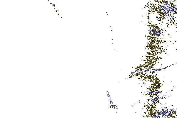
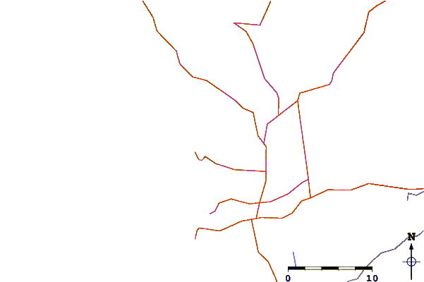
| Contours: | Roads & Rivers: | Select a
tide station / surf break / city |
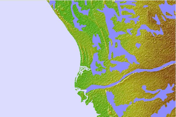
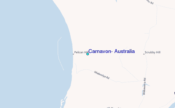
Use this relief map to navigate to tide stations, surf breaks and cities that are in the area of Carnavon, Australia.
Other Nearby Locations' tide tables and tide charts to Carnavon, Australia:
click location name for more details
 Surf breaks close to Carnavon, Australia:
|
||
|---|---|---|
| Closest surf break | Red Bluff | 54 mi |
| Second closest surf break | Turtles | 57 mi |
| Third closest surf break | Gnaraloo | 71 mi |
| Fourth closest surf break | Steep Point | 98 mi |
| Fifth closest surf break | Dirk Hartog Island | 99 mi |


 Nearest
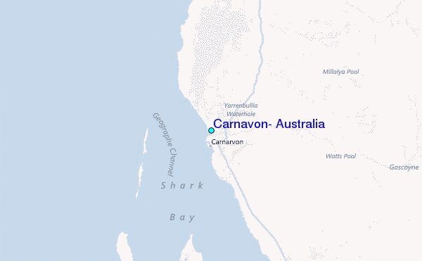