
| Distance / Altitude | Location | Report Date / Time | Live Weather | Wind | Gusts | Temp. | Visibility | Cloud |
|---|---|---|---|---|---|---|---|---|
| 40 km NNE / 40 m | EnderbyIslandAws (New Zealand) | 2025-12-27 02:00 local (2025/12/26 13:00 GMT) | - | light winds from the SE (19 km/h at 140) | 11°C | - | no observation | |
| 286 km SE / 16 m | Campbell Island (New Zealand) | 2025-12-27 02:00 local (2025/12/26 13:00 GMT) | - | light winds from the ESE (6 km/h at 110) | 8°C | - | no observation | |
| 298 km SSW / 15 m | ASCATB163E52S (Marine) | 2025-12-26 23:32 local (2025/12/26 10:32 GMT) | moderate winds from the ESE (20 km/h at 103) | — | - km | |||
| 307 km SSW / 15 m | ASCATB163E53S (Marine) | 2025-12-26 23:31 local (2025/12/26 10:31 GMT) | moderate winds from the ESE (22 km/h at 113) | — | - km | |||
| 317 km SW / 15 m | ASCATB162E52S (Marine) | 2025-12-26 23:32 local (2025/12/26 10:32 GMT) | light winds from the ESE (17 km/h at 103) | — | - km | |||
| 323 km WSW / 15 m | ASCATB162E51S (Marine) | 2025-12-26 23:32 local (2025/12/26 10:32 GMT) | light winds from the ENE (6 km/h at 68) | — | - km | |||
| 344 km ENE / 15 m | ASCATC170E50S (Marine) | 2025-12-27 00:12 local (2025/12/26 11:12 GMT) | moderate winds from the E (26 km/h at 84) | — | - km | |||
| 348 km W / 15 m | ASCATB162E50S (Marine) | 2025-12-26 23:32 local (2025/12/26 10:32 GMT) | light winds from the WSW (10 km/h at 248) | — | - km | |||
| 349 km SSW / 15 m | ASCATB162E53S (Marine) | 2025-12-26 23:32 local (2025/12/26 10:32 GMT) | moderate winds from the ESE (21 km/h at 117) | — | - km | |||
| 351 km E / 15 m | ASCATC171E51S (Marine) | 2025-12-27 00:12 local (2025/12/26 11:12 GMT) | moderate winds from the ESE (21 km/h at 102) | — | - km |
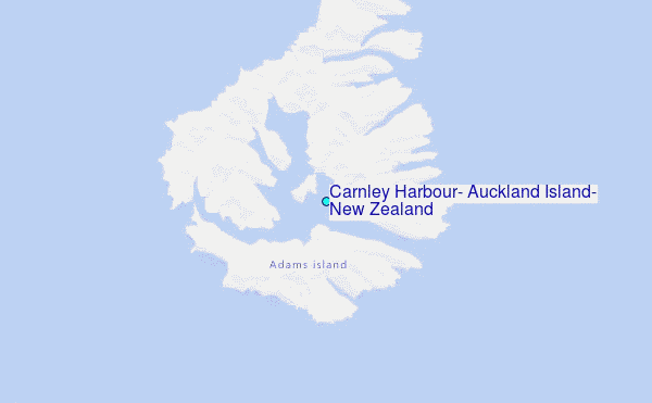
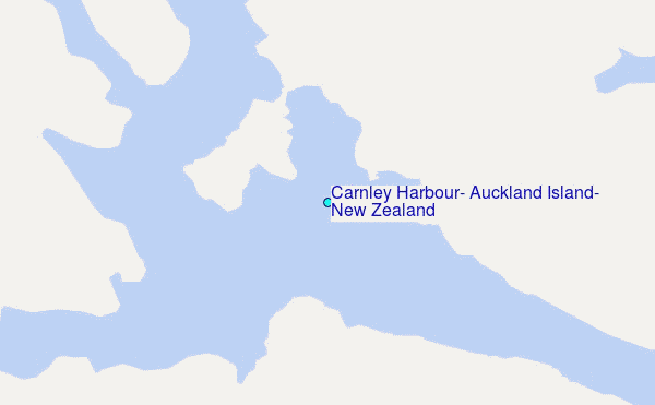
Choose Carnley Harbour, Auckland Island, New Zealand Location Map Zoom:
| Contours: | Roads & Rivers: | Select a
tide station / surf break / city |
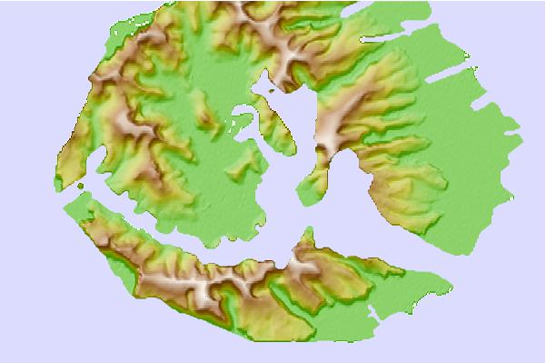
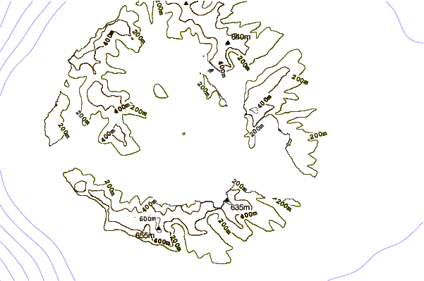
Use this relief map to navigate to tide stations, surf breaks and cities that are in the area of Carnley Harbour, Auckland Island, New Zealand.
Other Nearby Locations' tide tables and tide charts to Carnley Harbour, Auckland Island, New Zealand:
click location name for more details
 Surf breaks close to Carnley Harbour, Auckland Island, New Zealand:
|
||
|---|---|---|
| Closest surf break | Stewart Island - Saber Reef | 264 mi |
| Second closest surf break | Dinner Plates | 317 mi |
| Third closest surf break | Nicks Point | 318 mi |
| Fourth closest surf break | Porpoise Bay | 318 mi |
| Fifth closest surf break | Beatons | 319 mi |


 Nearest
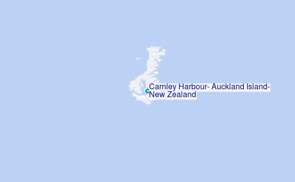