
| Distance / Altitude | Location | Report Date / Time | Live Weather | Wind | Gusts | Temp. | Visibility | Cloud |
|---|---|---|---|---|---|---|---|---|
| 9 km W / 194 m | Straid wx (United Kingdom) | 2026-04-05 11:06 local (2026/04/05 10:06 GMT) | dry | wind obs. (21 kph from 190 degs) was rejected (- km/h at -) | 4°C | - | - - 0 | |
| 13 km S / 3 m | SHIP199 (Marine) | 2026-04-05 09:00 local (2026/04/05 08:00 GMT) | - (- km/h at -) | 4°C | - | |||
| 13 km SE / 44 m | Bangor (United Kingdom) | 2026-04-05 10:30 local (2026/04/05 09:30 GMT) | dry | light winds from the WSW (10 km/h at 243) | 6°C | - | - - 0 | |
| 13 km S / 477 m | Belfast Harbour Airport (United Kingdom) | 2026-04-05 10:20 local (2026/04/05 09:20 GMT) | Dry and partly cloudy | moderate winds from the WSW.(Wind varies from 220 to 280 degs) (22 km/h at 250) | 5°C | 10.0 | scattered broken | |
| 13 km S / 15 m | SHIP2522 (Marine) | 2026-04-05 09:00 local (2026/04/05 08:00 GMT) | - (- km/h at -) | — | - km | |||
| 13 km S / 3 m | SHIP2655 (Marine) | 2026-04-05 10:00 local (2026/04/05 09:00 GMT) | - (- km/h at -) | 5°C | - | |||
| 13 km S / 15 m | SHIP1592 (Marine) | 2026-04-05 09:00 local (2026/04/05 08:00 GMT) | - (- km/h at -) | — | - km | |||
| 13 km S / 3 m | SHIP1527 (Marine) | 2026-04-05 09:00 local (2026/04/05 08:00 GMT) | - (- km/h at -) | 4°C | - | |||
| 13 km S / 3 m | SHIP787 (Marine) | 2026-04-05 10:00 local (2026/04/05 09:00 GMT) | - (- km/h at -) | 5°C | - | |||
| 13 km S / 3 m | SHIP4291 (Marine) | 2026-04-05 09:00 local (2026/04/05 08:00 GMT) | - (- km/h at -) | 4°C | - |
| Contours: | Roads & Rivers: | Select a
tide station / surf break / city |
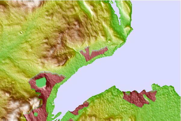
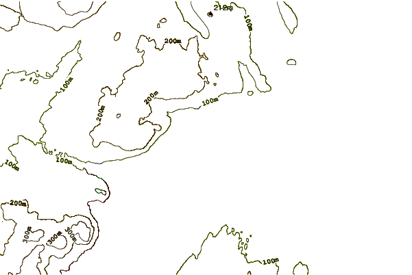
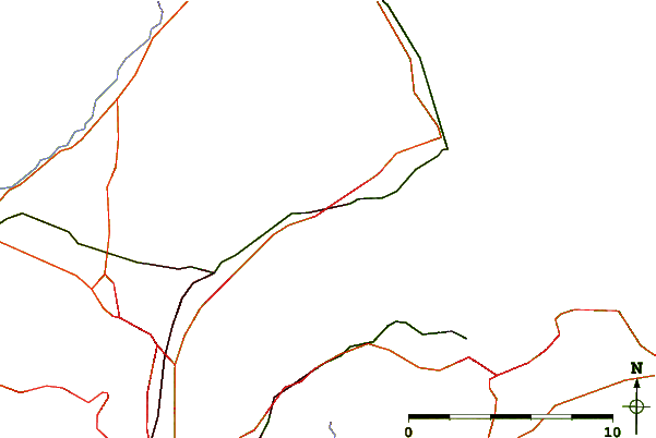
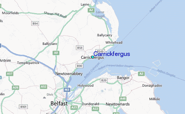
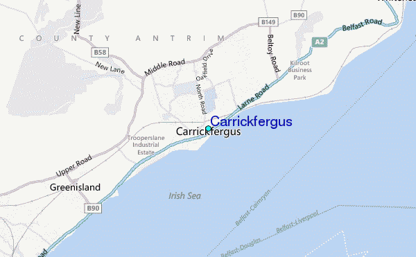
Use this relief map to navigate to tide stations, surf breaks and cities that are in the area of Carrickfergus.
Other Nearby Locations' tide tables and tide charts to Carrickfergus:
click location name for more details
 Surf breaks close to Carrickfergus:
|
||
|---|---|---|
| Closest surf break | Ballycastle | 39 mi |
| Second closest surf break | Carskiey Bay | 41 mi |
| Third closest surf break | Dunaverty Bay | 41 mi |
| Fourth closest surf break | Southend Reef | 41 mi |
| Fifth closest surf break | White Park Bay | 43 mi |


 Nearest
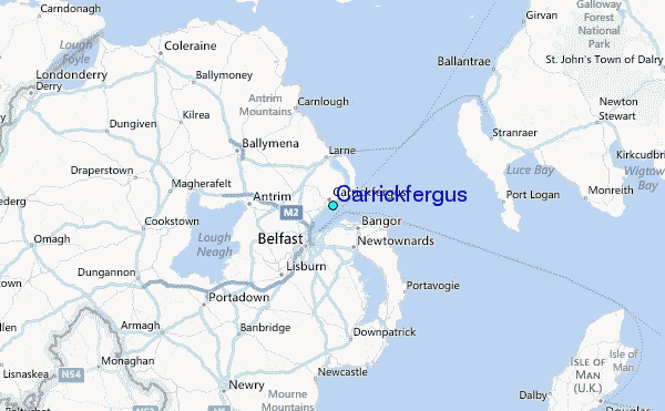