
| Distance / Altitude | Location | Report Date / Time | Live Weather | Wind | Gusts | Temp. | Visibility | Cloud |
|---|---|---|---|---|---|---|---|---|
| 21 km E / 4 m | Playa Honda wx (Spain) | 2024-04-26 05:00 local (2024/04/26 03:00 GMT) | dry | calm (2 km/h at 248) | 13°C | - | - - 0 | |
| 24 km NE / 467 m | Murcia-San Javier Airport (Spain) | 2024-04-26 05:30 local (2024/04/26 03:30 GMT) | Dry and partly cloudy | light winds from the NW (11 km/h at 320) | 14°C | 7.0 | no cloud | |
| 26 km NW / 196 m | Región de Murcia International Airport- Corvera (Spain) | 2024-04-26 05:30 local (2024/04/26 03:30 GMT) | - | light winds from the NNW (11 km/h at 330) | — | 0.0 | ||
| 26 km NNE / 3 m | San Javier wx (Spain) | 2024-04-26 06:27 local (2024/04/26 04:27 GMT) | dry | calm (0 km/h at ) | 14°C | - | - - 0 | |
| 26 km NE / 3 m | MurciaSanJavier (Spain) | 2024-04-26 06:00 local (2024/04/26 04:00 GMT) | - | light winds from the NNW (9 km/h at 330) | 12°C | - | no observation |
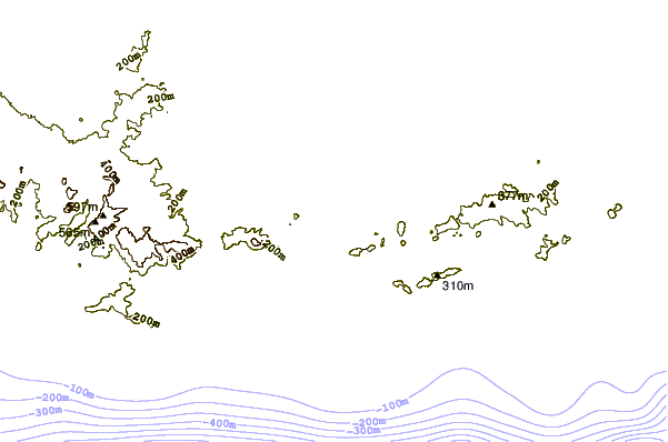
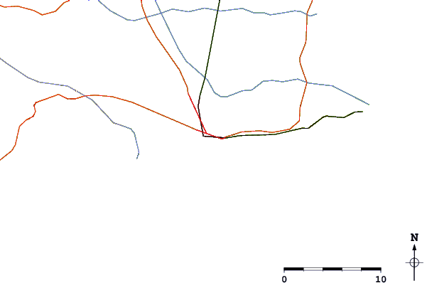
| Contours: | Roads & Rivers: | Select a
tide station / surf break / city |
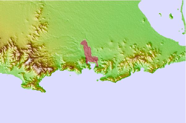
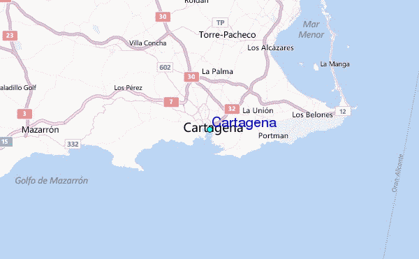
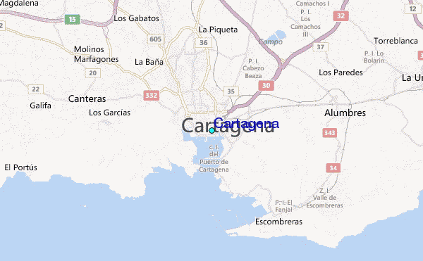
Use this relief map to navigate to tide stations, surf breaks and cities that are in the area of Cartagena.
Other Nearby Locations' tide tables and tide charts to Cartagena:
click location name for more details
 Surf breaks close to Cartagena:
|
||
|---|---|---|
| Closest surf break | La Manga | 15 mi |
| Second closest surf break | Playa de Entremares | 15 mi |
| Third closest surf break | Playa de Levante | 15 mi |
| Fourth closest surf break | Pico de el Errizo | 16 mi |
| Fifth closest surf break | Pico de la Autopista | 17 mi |

 Nearest
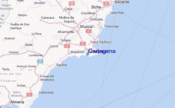