
| Distance / Altitude | Location | Report Date / Time | Live Weather | Wind | Gusts | Temp. | Visibility | Cloud |
|---|---|---|---|---|---|---|---|---|
| 10 km SSE / 218 m | Wilmington Airport (North Carolina) | 2026-06-13 19:29 local (2026/06/13 23:29 GMT) | Clear | light winds from the WNW (15 km/h at 300) | 29°C | 16 | ||
| 13 km S / 3 m | BUOY-WLON7 (Marine) | 2026-06-13 19:30 local (2026/06/13 23:30 GMT) | - (- km/h at -) | 29°C | - | |||
| 17 km S / 3 m | SHIP4412 (Marine) | 2026-06-13 18:00 local (2026/06/13 22:00 GMT) | - (- km/h at -) | — | - | |||
| 18 km ENE / 6 m | lightning 16km NNE of Castle Hayne (United States) | 2026-06-13 19:35 local (2026/06/13 23:35 GMT) | Thunderstorm | (- km/h at -) | — | |||
| 17 km S / 15 m | SHIP8974 (Marine) | 2026-06-13 19:00 local (2026/06/13 23:00 GMT) | - (- km/h at -) | — | - km | |||
| 17 km S / 15 m | SHIP8093 (Marine) | 2026-06-13 20:00 local (2026/06/14 00:00 GMT) | - (- km/h at -) | — | - km | |||
| 17 km S / 3 m | SHIP3290 (Marine) | 2026-06-13 18:00 local (2026/06/13 22:00 GMT) | - (- km/h at -) | — | - | |||
| 17 km S / 3 m | SHIP7486 (Marine) | 2026-06-13 18:00 local (2026/06/13 22:00 GMT) | - (- km/h at -) | — | - | |||
| 17 km S / 15 m | SHIP3862 (Marine) | 2026-06-13 19:00 local (2026/06/13 23:00 GMT) | - (- km/h at -) | — | - km | |||
| 17 km S / 15 m | SHIP4443 (Marine) | 2026-06-13 18:00 local (2026/06/13 22:00 GMT) | - (- km/h at -) | — | - km |
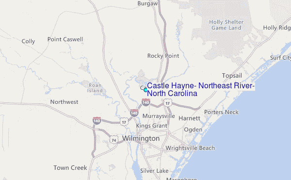
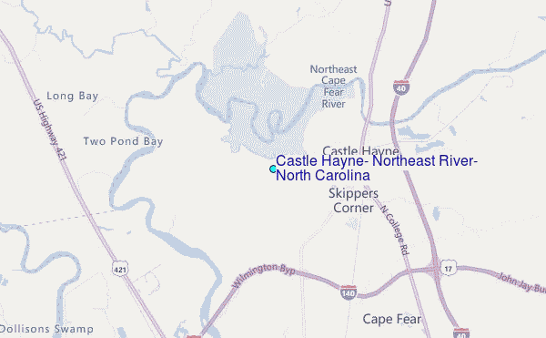
Choose Castle Hayne, Northeast River, North Carolina Location Map Zoom:
| Contours: | Roads & Rivers: | Select a
tide station / surf break / city |
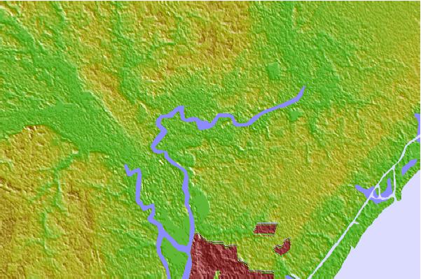
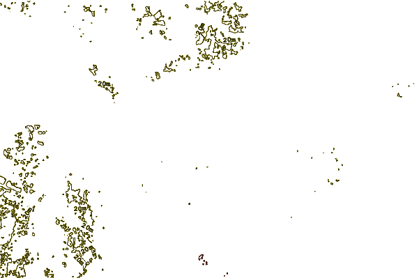
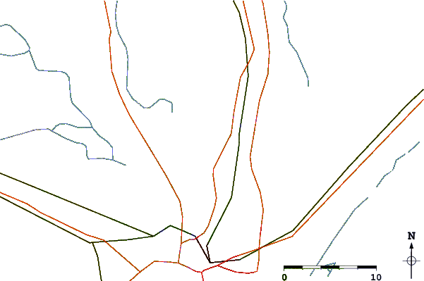
Use this relief map to navigate to tide stations, surf breaks and cities that are in the area of Castle Hayne, Northeast River, North Carolina.
Other Nearby Locations' tide tables and tide charts to Castle Hayne, Northeast River, North Carolina:
click location name for more details
 Surf breaks close to Castle Hayne, Northeast River, North Carolina:
|
||
|---|---|---|
| Closest surf break | Wrightsville Beach | 12 mi |
| Second closest surf break | Columbia St | 13 mi |
| Third closest surf break | Mason s Inlet | 13 mi |
| Fourth closest surf break | Oceanic Pier | 13 mi |
| Fifth closest surf break | Masonboro Inlet | 14 mi |


 Nearest
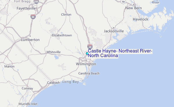