
| Distance / Altitude | Location | Report Date / Time | Live Weather | Wind | Gusts | Temp. | Visibility | Cloud |
|---|---|---|---|---|---|---|---|---|
| 5 km NNE / 3 m | BUOY-NWPR1 (Marine) | 2026-04-06 23:30 local (2026/04/07 03:30 GMT) | calm (5 km/h at 330) | 6°C | - | |||
| 7 km NE / 3 m | SHIP9574 (Marine) | 2026-04-06 22:00 local (2026/04/07 02:00 GMT) | fresh winds from the NW (37 km/h at 320) | 10°C | - | |||
| 7 km NE / - m | SHIP19 (ocean) | 2026-04-06 23:00 local (2026/04/07 03:00 GMT) | No report | fresh winds from the NW (35 km/h at 320) | 10°C | - | no observation | |
| 7 km NE / - m | SHIP203 (ocean) | 2026-04-06 23:00 local (2026/04/07 03:00 GMT) | No report | fresh winds from the WNW (35 km/h at 300) | 10°C | - | no observation | |
| 7 km NE / 15 m | SHIP8035 (Marine) | 2026-04-07 00:00 local (2026/04/07 04:00 GMT) | fresh winds from the NW (35.28 km/h at 310) | 7°C | - km | |||
| 7 km NE / 15 m | SHIP8067 (Marine) | 2026-04-06 22:00 local (2026/04/07 02:00 GMT) | fresh winds from the NW (35.28 km/h at 320) | 7°C | - km | |||
| 7 km NE / 3 m | SHIP5088 (Marine) | 2026-04-07 00:00 local (2026/04/07 04:00 GMT) | fresh winds from the NW (35 km/h at 310) | 10°C | - | |||
| 7 km NE / - m | SHIP979 (ocean) | 2026-04-06 23:00 local (2026/04/07 03:00 GMT) | No report | fresh winds from the WNW (35 km/h at 300) | 10°C | - | no observation | |
| 7 km NE / 3 m | SHIP6375 (Marine) | 2026-04-06 23:00 local (2026/04/07 03:00 GMT) | strong winds from the WNW (39 km/h at 300) | 10°C | - | |||
| 7 km NE / 3 m | SHIP2100 (Marine) | 2026-04-06 23:00 local (2026/04/07 03:00 GMT) | strong winds from the WNW (39 km/h at 300) | 10°C | - |
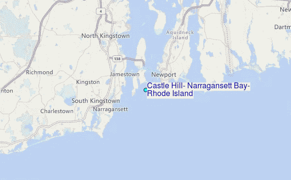
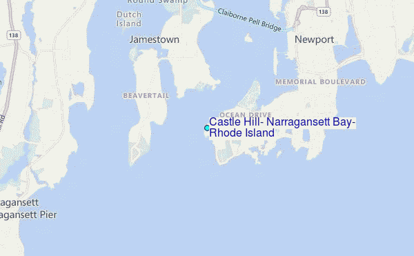
Choose Castle Hill, Narragansett Bay, Rhode Island Location Map Zoom:
| Contours: | Roads & Rivers: | Select a
tide station / surf break / city |
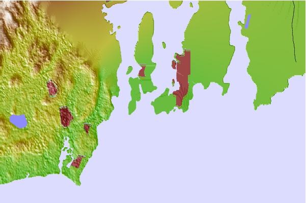
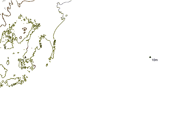
Use this relief map to navigate to tide stations, surf breaks and cities that are in the area of Castle Hill, Narragansett Bay, Rhode Island.
Other Nearby Locations' tide tables and tide charts to Castle Hill, Narragansett Bay, Rhode Island:
click location name for more details
 Surf breaks close to Castle Hill, Narragansett Bay, Rhode Island:
|
||
|---|---|---|
| Closest surf break | Baileys Beach | 2 mi |
| Second closest surf break | Bonnet Point | 3 mi |
| Third closest surf break | Bonnet Shores Point | 3 mi |
| Fourth closest surf break | Ruggles | 3 mi |
| Fifth closest surf break | Eastons Beach (1st Beach) | 4 mi |


 Nearest
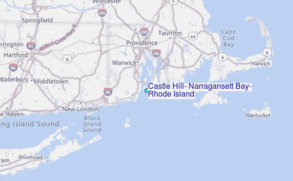