
| Distance / Altitude | Location | Report Date / Time | Live Weather | Wind | Gusts | Temp. | Visibility | Cloud |
|---|---|---|---|---|---|---|---|---|
| 61 km ESE / 15 m | ASCATC127E8N (Marine) | 2025-12-23 09:28 local (2025/12/23 01:28 GMT) | moderate winds from the ESE (21 km/h at 108) | — | - km | |||
| 97 km NNE / 15 m | ASCATC127E9N (Marine) | 2025-12-23 09:28 local (2025/12/23 01:28 GMT) | light winds from the ESE (14 km/h at 102) | — | - km | |||
| 113 km SSW / 15 m | SHIP6503 (Marine) | 2025-12-23 09:00 local (2025/12/23 01:00 GMT) | light winds from the NE (12.96 km/h at 40) | 29°C | - km | |||
| 113 km SSW / 3 m | SHIP4412 (Marine) | 2025-12-23 11:00 local (2025/12/23 03:00 GMT) | light winds from the NNE (15 km/h at 20) | 28°C | - | |||
| 113 km SSW / - m | SHIP199 (ocean) | 2025-12-23 11:00 local (2025/12/23 03:00 GMT) | No report | light winds from the N (17 km/h at 10) | 28°C | - | no observation | |
| 113 km SSW / 15 m | SHIP8171 (Marine) | 2025-12-23 09:00 local (2025/12/23 01:00 GMT) | light winds from the NE (14.76 km/h at 40) | 29°C | - km | |||
| 113 km SSW / 3 m | SHIP2720 (Marine) | 2025-12-23 09:00 local (2025/12/23 01:00 GMT) | light winds from the NE (15 km/h at 40) | 27°C | - | |||
| 113 km SSW / - m | SHIP558 (ocean) | 2025-12-23 10:00 local (2025/12/23 02:00 GMT) | No report | light winds from the N (15 km/h at 10) | 27°C | - | no observation | |
| 113 km SSW / 15 m | SHIP6771 (Marine) | 2025-12-23 11:00 local (2025/12/23 03:00 GMT) | light winds from the N (16.56 km/h at 10) | 29°C | - km | |||
| 113 km SSW / 15 m | SHIP3339 (Marine) | 2025-12-23 09:00 local (2025/12/23 01:00 GMT) | light winds from the NE (14.76 km/h at 40) | 29°C | - km |
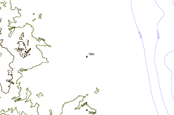
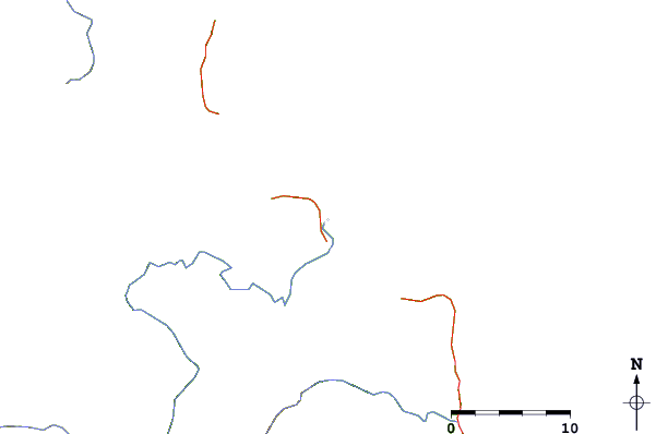
| Contours: | Roads & Rivers: | Select a
tide station / surf break / city |
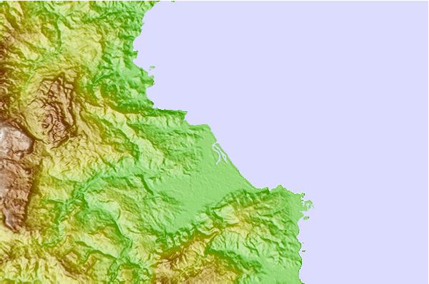
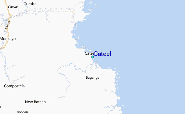
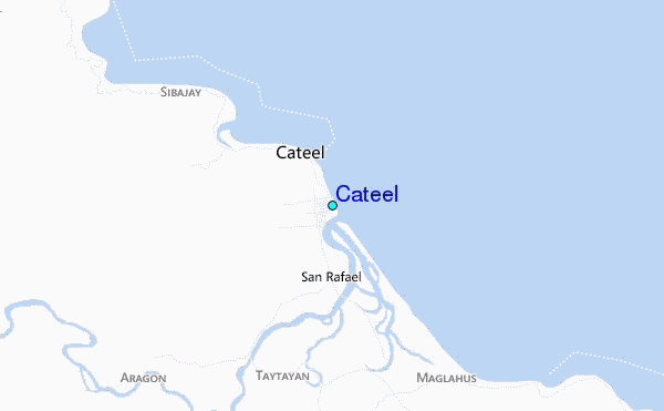
Use this relief map to navigate to tide stations, surf breaks and cities that are in the area of Cateel.
Other Nearby Locations' tide tables and tide charts to Cateel:
click location name for more details
 Surf breaks close to Cateel:
|
||
|---|---|---|
| Closest surf break | Tago River | 85 mi |
| Second closest surf break | Marami Beach | 93 mi |
| Third closest surf break | Big Star | 104 mi |
| Fourth closest surf break | Lanuza Rivermouth | 104 mi |
| Fifth closest surf break | Moshi-Moshi | 104 mi |


 Nearest
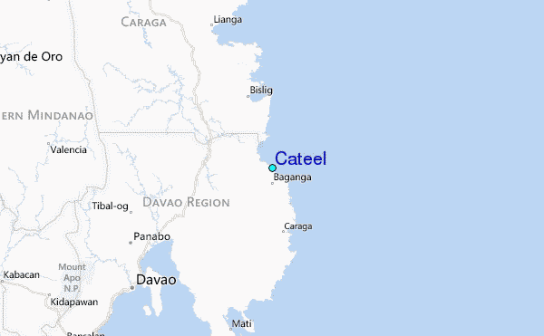