
| Distance / Altitude | Location | Report Date / Time | Live Weather | Wind | Gusts | Temp. | Visibility | Cloud |
|---|---|---|---|---|---|---|---|---|
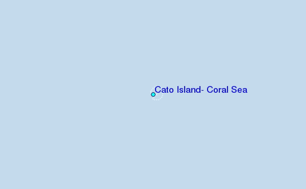
| 1 km E / 7 m | Cato Island (Australia) | 2026-04-24 10:00 local (2026/04/24 00:00 GMT) | no report | light winds from the E (15 km/h at 100) | 22°C | - | - | |
| 103 km SW / 15 m | ASCATB155E23S (Marine) | 2026-04-24 08:58 local (2026/04/23 22:58 GMT) | fresh winds from the SE (34 km/h at 139) | — | - km | |||
| 138 km WNW / 15 m | ASCATB155E22S (Marine) | 2026-04-24 08:58 local (2026/04/23 22:58 GMT) | fresh winds from the SE (33 km/h at 124) | — | - km | |||
| 166 km SSW / 15 m | ASCATB155E24S (Marine) | 2026-04-24 08:58 local (2026/04/23 22:58 GMT) | fresh winds from the SE (33 km/h at 142) | — | - km | |||
| 202 km WSW / 15 m | ASCATB154E23S (Marine) | 2026-04-24 08:58 local (2026/04/23 22:58 GMT) | fresh winds from the SE (37 km/h at 132) | — | - km | |||
| 223 km NW / 15 m | ASCATB155E21S (Marine) | 2026-04-24 08:57 local (2026/04/23 22:57 GMT) | fresh winds from the ESE (36 km/h at 119) | — | - km | |||
| 223 km S / 15 m | ASCATB155E25S (Marine) | 2026-04-24 08:58 local (2026/04/23 22:58 GMT) | fresh winds from the SSE (32 km/h at 150) | — | - km | |||
| 227 km W / 15 m | ASCATB154E22S (Marine) | 2026-04-24 08:58 local (2026/04/23 22:58 GMT) | strong winds from the SE (40 km/h at 137) | — | - km | |||
| 245 km SW / 15 m | ASCATB154E24S (Marine) | 2026-04-24 08:58 local (2026/04/23 22:58 GMT) | fresh winds from the SE (38 km/h at 146) | — | - km | |||
| 279 km WNW / 15 m | ASCATB154E21S (Marine) | 2026-04-24 08:57 local (2026/04/23 22:57 GMT) | strong winds from the SE (39 km/h at 135) | — | - km |
| Contours: | Roads & Rivers: | Select a
tide station / surf break / city |
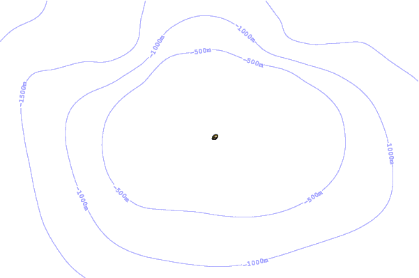
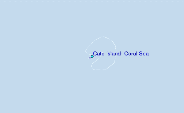
Use this relief map to navigate to tide stations, surf breaks and cities that are in the area of Cato Island, Coral Sea.
Other Nearby Locations' tide tables and tide charts to Cato Island, Coral Sea:
click location name for more details
 Surf breaks close to Cato Island, Coral Sea:
|
||
|---|---|---|
| Closest surf break | Fraser Island - Waddy Point | 181 mi |
| Second closest surf break | Fraser Island - Indian Head | 183 mi |
| Third closest surf break | Fraser Island - Maheno Wreck | 200 mi |
| Fourth closest surf break | Archies | 222 mi |
| Fifth closest surf break | Elliott Heads | 224 mi |


 Nearest