
| Distance / Altitude | Location | Report Date / Time | Live Weather | Wind | Gusts | Temp. | Visibility | Cloud |
|---|---|---|---|---|---|---|---|---|
| 14 km SW / 218 m | Westerly Airport (Rhode Island) | 2026-05-19 04:53 local (2026/05/19 08:53 GMT) | Clear | light winds from the S (11 km/h at 170) | 16°C | 16 | ||
| 25 km SSE / 211 m | Block Island Airport (Rhode Island) | 2026-05-19 04:56 local (2026/05/19 08:56 GMT) | Clear | moderate winds from the SW (26 km/h at 220) | 14°C | 16 | ||
| 29 km ENE / 3 m | BUOY-NWPR1 (Marine) | 2026-05-19 05:48 local (2026/05/19 09:48 GMT) | light winds from the SSW (15 km/h at 200) | — | - | |||
| 31 km NE / 273 m | Nort Kingston/Quonset State Airport (Rhode Island) | 2026-05-19 05:35 local (2026/05/19 09:35 GMT) | Clear | moderate winds from the S (22 km/h at 180) | 17°C | 16 | ||
| 32 km NE / 3 m | BUOY-PDVR1 (Marine) | 2026-05-19 05:48 local (2026/05/19 09:48 GMT) | light winds from the S (11 km/h at 190) | — | - | |||
| 35 km WSW / 218 m | Groton/New London Airport (Connecticut) | 2026-05-19 04:56 local (2026/05/19 08:56 GMT) | Clear | calm (0 km/h at 0) | 16°C | 16 | ||
| 38 km WSW / 3 m | BUOY-NLHC3 (Marine) | 2026-05-19 05:48 local (2026/05/19 09:48 GMT) | - (- km/h at -) | — | - | |||
| 38 km NE / 3 m | BUOY-PTCR1 (Marine) | 2026-05-19 05:48 local (2026/05/19 09:48 GMT) | light winds from the SW (8 km/h at 230) | — | - | |||
| 38 km NE / 3 m | BUOY-NAXR1 (Marine) | 2026-05-19 05:00 local (2026/05/19 09:00 GMT) | light winds from the NE (9 km/h at 50) | 16°C | - | |||
| 38 km NE / 3 m | BUOY-PRUR1 (Marine) | 2026-05-19 05:30 local (2026/05/19 09:30 GMT) | - (- km/h at -) | 15°C | - |
| Contours: | Roads & Rivers: | Select a
tide station / surf break / city |
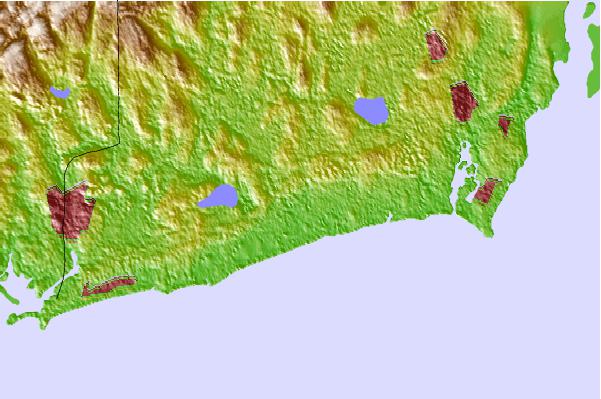
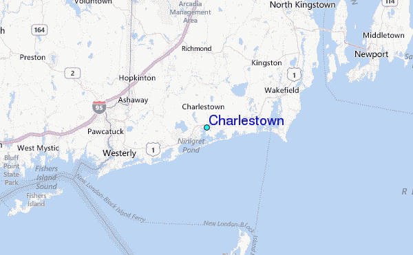
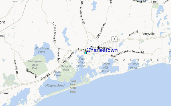
Use this relief map to navigate to tide stations, surf breaks and cities that are in the area of Charlestown.
Other Nearby Locations' tide tables and tide charts to Charlestown:
click location name for more details
 Surf breaks close to Charlestown:
|
||
|---|---|---|
| Closest surf break | Greenhill | 2 mi |
| Second closest surf break | Matunuck-The point | 5 mi |
| Third closest surf break | Matunuck-Trestles | 5 mi |
| Fourth closest surf break | Matunuck-Deep Hole | 6 mi |
| Fifth closest surf break | Matunuck | 6 mi |


 Nearest
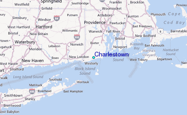