
| Distance / Altitude | Location | Report Date / Time | Live Weather | Wind | Gusts | Temp. | Visibility | Cloud |
|---|---|---|---|---|---|---|---|---|
| 64 km ESE / 218 m | Eareckson/Shemya Airport (Alaska) | 2026-05-06 03:55 local (2026/05/06 12:55 GMT) | - | moderate winds from the WSW (22 km/h at 240) | 4°C | 0.0 | broken | |
| 188 km NE / 15 m | SHIP3598 (Marine) | 2026-05-06 05:00 local (2026/05/06 14:00 GMT) | strong winds from the ESE (50.04 km/h at 120) | 2°C | 0.8 km | |||
| 270 km NNE / 3 m | BUOY-46070 (Marine) | 2026-05-06 05:20 local (2026/05/06 14:20 GMT) | - (- km/h at -) | — | - | |||
| 494 km ESE / 3 m | Western Aleutians Buoy (Marine) | 2026-05-06 05:20 local (2026/05/06 14:20 GMT) | - (36 km/h at -) | — | - | |||
| 536 km W / 18 m | Ostrov Beringa (Russia) | 2026-05-06 05:00 local (2026/05/06 14:00 GMT) | no report | wind obs. (25 kph from 200 degs) was rejected (- km/h at -) | 6°C | 20 | - - - | |
| 459 km WSW / 15 m | SHIP5507 (Marine) | 2026-05-06 03:00 local (2026/05/06 12:00 GMT) | - (- km/h at -) | — | - km | |||
| 459 km WSW / 15 m | SHIP6489 (Marine) | 2026-05-06 03:00 local (2026/05/06 12:00 GMT) | - (- km/h at -) | — | - km | |||
| 459 km WSW / 15 m | SHIP5872 (Marine) | 2026-05-06 03:00 local (2026/05/06 12:00 GMT) | - (- km/h at -) | — | - km | |||
| 459 km WSW / 15 m | SHIP8800 (Marine) | 2026-05-06 03:00 local (2026/05/06 12:00 GMT) | - (- km/h at -) | — | - km | |||
| 481 km WSW / 15 m | SHIP3883 (Marine) | 2026-05-06 04:00 local (2026/05/06 13:00 GMT) | - (- km/h at -) | — | - km |
Choose Chichagof Harbor, Attu Island, Alaska Location Map Zoom:
| Contours: | Roads & Rivers: | Select a
tide station / surf break / city |
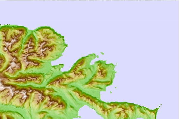
Use this relief map to navigate to tide stations, surf breaks and cities that are in the area of Chichagof Harbor, Attu Island, Alaska.
Other Nearby Locations' tide tables and tide charts to Chichagof Harbor, Attu Island, Alaska:
click location name for more details
 Surf breaks close to Chichagof Harbor, Attu Island, Alaska:
|
||
|---|---|---|
| Closest surf break | Khalaktyrsky Beach | 597 mi |
| Second closest surf break | Monashka Bay | 1374 mi |
| Third closest surf break | Termination Point | 1375 mi |
| Fourth closest surf break | Mill Bay | 1377 mi |
| Fifth closest surf break | Fossil Beach Kodiak | 1378 mi |


 Nearest