
| Distance / Altitude | Location | Report Date / Time | Live Weather | Wind | Gusts | Temp. | Visibility | Cloud |
|---|---|---|---|---|---|---|---|---|
| 153 km NE / 3 m | BUOY-ALIA2 (Marine) | 2026-07-28 10:48 local (2026/07/28 18:48 GMT) | - (0 km/h at -) | 12°C | - | |||
| 158 km NE / 14 m | Akhiok (Alaska) | 2026-07-28 09:56 local (2026/07/28 17:56 GMT) | Dry and cloudy | calm (0 km/h at 0) | 11°C | 16 | overcast | |
| 173 km W / 212 m | Chignik Bay Airport (Alaska) | 2026-07-28 09:56 local (2026/07/28 17:56 GMT) | Dry and cloudy | light winds from the WNW (7 km/h at 300) | 13°C | 16 | broken overcast | |
| 199 km E / 3 m | Albatross Bank - 104NM South of Kodiak Is.- AK (Marine) | 2026-07-28 10:50 local (2026/07/28 18:50 GMT) | moderate winds from the ENE (22 km/h at 60) | 11°C | - | |||
| 218 km WNW / 209 m | Port Heiden Airport (Alaska) | 2026-07-28 10:28 local (2026/07/28 18:28 GMT) | Light rain | light winds from the WSW (15 km/h at 240) | 8°C | 0 | overcast | |
| 227 km NW / 18 m | Pilot Point (Alaska) | 2026-07-28 10:44 local (2026/07/28 18:44 GMT) | Mist - | light winds from the WSW (19 km/h at 250) | 8°C | 2 | overcast | |
| 248 km NNE / 3 m | Shelikof Strait- AK (Marine) | 2026-07-28 10:50 local (2026/07/28 18:50 GMT) | light winds from the NNE (18 km/h at 30) | 11°C | - | |||
| 282 km W / 3 m | BUOY-CPSA2 (Marine) | 2026-07-28 09:42 local (2026/07/28 17:42 GMT) | moderate winds from the SW (21 km/h at 220) | — | - | |||
| 283 km NW / 216 m | Egegik Airport (Alaska) | 2026-07-28 10:13 local (2026/07/28 18:13 GMT) | Dry and cloudy | calm (0 km/h at 0) | 13°C | 16 | overcast | |
| 291 km NE / 3 m | BUOY-WBXA2 (Marine) | 2026-07-28 11:02 local (2026/07/28 19:02 GMT) | light winds from the NE (9 km/h at 50) | 11°C | - |
| Contours: | Roads & Rivers: | Select a
tide station / surf break / city |
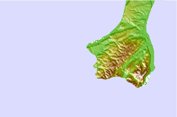
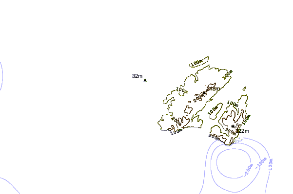
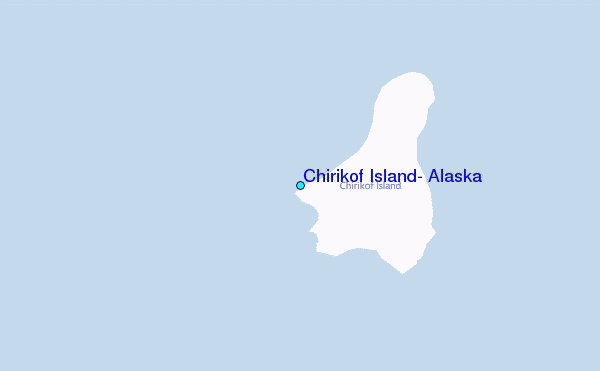
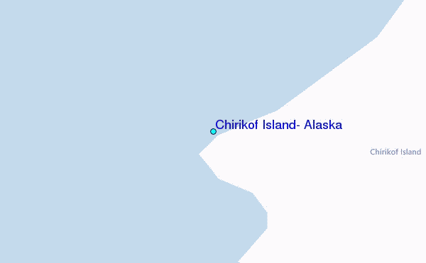
Use this relief map to navigate to tide stations, surf breaks and cities that are in the area of Chirikof Island, Alaska.
Other Nearby Locations' tide tables and tide charts to Chirikof Island, Alaska:
click location name for more details
 Surf breaks close to Chirikof Island, Alaska:
|
||
|---|---|---|
| Closest surf break | Fossil Beach Kodiak | 170 mi |
| Second closest surf break | Monashka Bay | 188 mi |
| Third closest surf break | Mill Bay | 189 mi |
| Fourth closest surf break | Termination Point | 190 mi |
| Fifth closest surf break | Bird Point (Tidal Bore) | 374 mi |


 Nearest
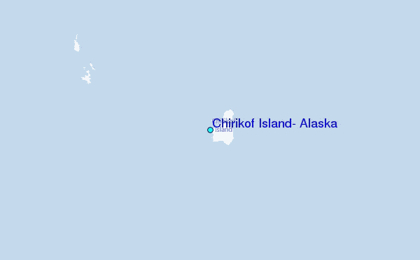