
| Distance / Altitude | Location | Report Date / Time | Live Weather | Wind | Gusts | Temp. | Visibility | Cloud |
|---|---|---|---|---|---|---|---|---|
| 109 km WSW / 796 m | Srigunting wx (Indonesia) | 2026-06-13 13:26 local (2026/06/13 06:26 GMT) | - | light winds from the NNE (8 km/h at 19) | 24°C | - | - - 0 | |
| 109 km SE / 101 m | Pamijen Lor wx (Indonesia) | 2026-06-13 13:40 local (2026/06/13 06:40 GMT) | - | - (- km/h at ) | 31°C | - | - - 0 | |
| 112 km WSW / 820 m | Kalidam wx (Indonesia) | 2026-06-13 13:25 local (2026/06/13 06:25 GMT) | - | calm (0 km/h at 0) | — | - | - - 0 | |
| 119 km SSE / 6 m | Cilacap (Indonesia) | 2026-06-13 13:00 local (2026/06/13 06:00 GMT) | - | light winds from the ESE (9 km/h at 110) | 30°C | 30 km | - mostly cloudy - | |
| 120 km WNW / 15 m | SHIP8379 (Marine) | 2026-06-13 13:00 local (2026/06/13 06:00 GMT) | moderate winds from the ESE (25.2 km/h at 110) | 28°C | 8.1 km | |||
| 120 km WNW / 3 m | SHIP7826 (Marine) | 2026-06-13 13:00 local (2026/06/13 06:00 GMT) | moderate winds from the ESE (25 km/h at 110) | 28°C | 9.3 | |||
| 157 km ESE / 2039 m | Dieng Kulon wx (Indonesia) | 2026-06-13 13:23 local (2026/06/13 06:23 GMT) | - | wind obs. (32 kph from 92 degs) was rejected (- km/h at -) | 11°C | - | - - 0 | |
| 179 km WSW / 481 m | Genteng wx (Indonesia) | 2026-06-13 12:13 local (2026/06/13 05:13 GMT) | - | calm (0 km/h at 0) | — | - | - - 0 | |
| 182 km ESE / 1394 m | Gunungmalang wx (Indonesia) | 2026-06-13 13:44 local (2026/06/13 06:44 GMT) | dry | calm (3 km/h at 184) | 20°C | - | - - 0 | |
| 193 km WSW / 185 m | Ceheuleut wx (Indonesia) | 2026-06-13 12:41 local (2026/06/13 05:41 GMT) | - | calm (0 km/h at 0) | 37°C | - | - - 0 |
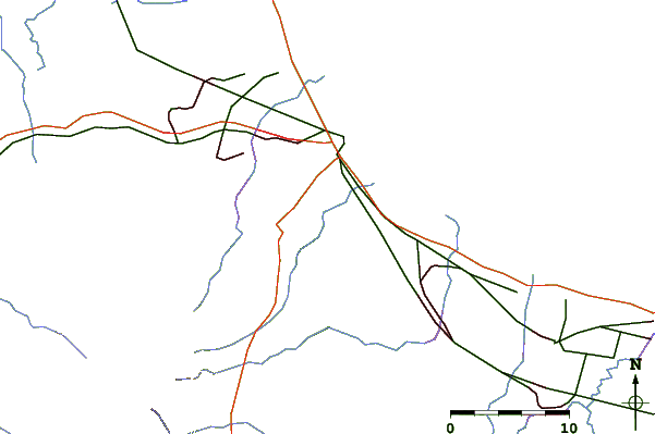
| Contours: | Roads & Rivers: | Select a
tide station / surf break / city |
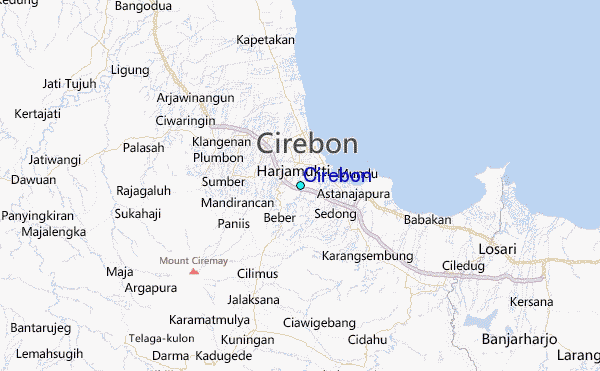
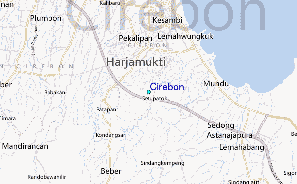
Use this relief map to navigate to tide stations, surf breaks and cities that are in the area of Cirebon.
Other Nearby Locations' tide tables and tide charts to Cirebon:
click location name for more details
 Surf breaks close to Cirebon:
|
||
|---|---|---|
| Closest surf break | Batu Hiu | 64 mi |
| Second closest surf break | Karang Nini | 64 mi |
| Third closest surf break | Batu Mandi | 67 mi |
| Fourth closest surf break | Batu Karas | 68 mi |
| Fifth closest surf break | Keusik Luhur | 71 mi |


 Nearest
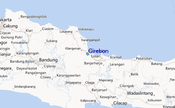