
| Distance / Altitude | Location | Report Date / Time | Live Weather | Wind | Gusts | Temp. | Visibility | Cloud |
|---|---|---|---|---|---|---|---|---|
| 2 km S / 3 m | BUOY-BLIF1 (Marine) | 2026-04-14 16:00 local (2026/04/14 20:00 GMT) | moderate winds from the E (24 km/h at 100) | 25°C | 10.9 | |||
| 3 km S / 28 m | Jacksonville (Florida) | 2026-04-14 15:06 local (2026/04/14 19:06 GMT) | dry | wind obs. (8 kph from 65 degs) was rejected (- km/h at -) | 27°C | - | - - 0 | |
| 5 km SW / 3 m | BUOY-DMSF1 (Marine) | 2026-04-14 16:00 local (2026/04/14 20:00 GMT) | - (- km/h at -) | — | - | |||
| 6 km ESE / 3 m | BUOY-LTJF1 (Marine) | 2026-04-14 16:00 local (2026/04/14 20:00 GMT) | - (- km/h at -) | 24°C | 10.9 | |||
| 8 km E / 3 m | BUOY-MYPF1 (Marine) | 2026-04-14 16:00 local (2026/04/14 20:00 GMT) | light winds from the E (17 km/h at 100) | 24°C | - | |||
| 8 km S / 218 m | Jacksonville/Craig Municipal Airport (Florida) | 2026-04-14 14:53 local (2026/04/14 18:53 GMT) | Clear | light winds from the ESE (13 km/h at 120) | 27°C | 16 | ||
| 8 km SSW / 10 m | Gilmore wx (United States) | 2026-04-14 16:27 local (2026/04/14 20:27 GMT) | dry | calm (3 km/h at 115) | — | - | - - 0 | |
| 9 km ESE / 217 m | Mayport Naval Air Station Airport (Florida) | 2026-04-14 14:52 local (2026/04/14 18:52 GMT) | - | moderate winds from the E (20 km/h at 90) | 26°C | 16 | few | |
| 10 km SSE / 15 m | Greenfield wx (United States) | 2026-04-14 16:08 local (2026/04/14 20:08 GMT) | dry | wind obs. (8 kph from 65 degs) was rejected (- km/h at -) | 26°C | - | - - 0 | |
| 10 km SW / 10 m | Jacksonville (Florida) | 2026-04-14 16:31 local (2026/04/14 20:31 GMT) | dry | light winds from the E (6 km/h at 90) | 29°C | - | - - 0 |
| Contours: | Roads & Rivers: | Select a
tide station / surf break / city |
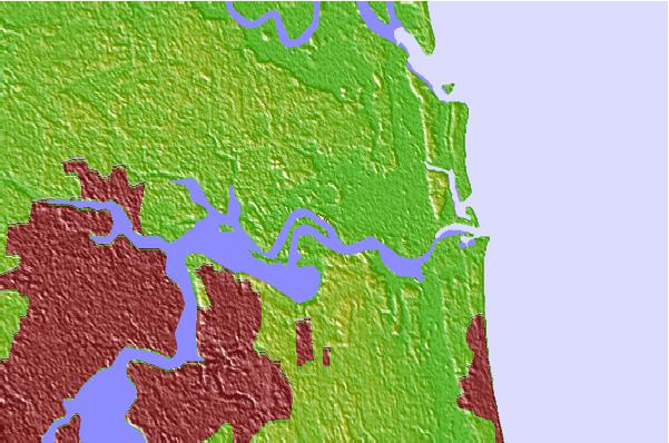
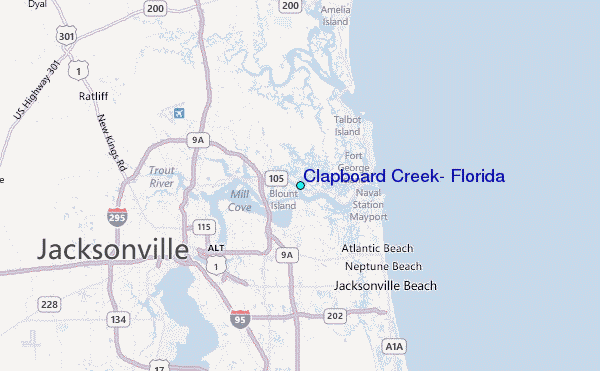
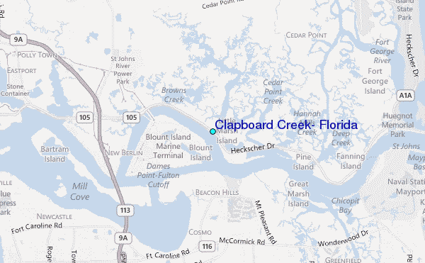
Use this relief map to navigate to tide stations, surf breaks and cities that are in the area of Clapboard Creek, Florida.
Other Nearby Locations' tide tables and tide charts to Clapboard Creek, Florida:
click location name for more details
 Surf breaks close to Clapboard Creek, Florida:
|
||
|---|---|---|
| Closest surf break | North Jetty | 6 mi |
| Second closest surf break | Hanna Park/Mayport Poles | 7 mi |
| Third closest surf break | Little Talbot Island | 7 mi |
| Fourth closest surf break | The Shoals | 7 mi |
| Fifth closest surf break | The Barge | 7 mi |


 Nearest
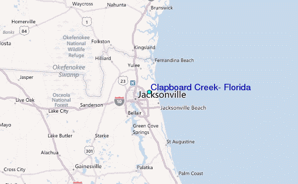