
| Distance / Altitude | Location | Report Date / Time | Live Weather | Wind | Gusts | Temp. | Visibility | Cloud |
|---|---|---|---|---|---|---|---|---|
| 17 km SW / 323 m | Minatitlan Airport (Mexico) | 2025-12-17 11:40 local (2025/12/17 17:40 GMT) | Dry and partly cloudy | light winds from the SE (7 km/h at 130) | 24°C | 8 | broken | |
| 28 km N / 3 m | SHIP2568 (Marine) | 2025-12-17 10:00 local (2025/12/17 16:00 GMT) | - (- km/h at -) | 27°C | - | |||
| 28 km N / 3 m | SHIP1631 (Marine) | 2025-12-17 10:00 local (2025/12/17 16:00 GMT) | - (- km/h at -) | 27°C | - | |||
| 28 km N / 3 m | SHIP6912 (Marine) | 2025-12-17 10:00 local (2025/12/17 16:00 GMT) | - (- km/h at -) | 27°C | - | |||
| 28 km N / 15 m | SHIP8572 (Marine) | 2025-12-17 10:00 local (2025/12/17 16:00 GMT) | - (- km/h at -) | — | - km | |||
| 28 km N / 3 m | SHIP6264 (Marine) | 2025-12-17 10:00 local (2025/12/17 16:00 GMT) | - (- km/h at -) | 27°C | - | |||
| 28 km N / 3 m | SHIP3710 (Marine) | 2025-12-17 10:00 local (2025/12/17 16:00 GMT) | - (- km/h at -) | 27°C | - | |||
| 28 km N / 15 m | SHIP3387 (Marine) | 2025-12-17 10:00 local (2025/12/17 16:00 GMT) | - (- km/h at -) | — | - km | |||
| 28 km N / 15 m | SHIP5076 (Marine) | 2025-12-17 10:00 local (2025/12/17 16:00 GMT) | - (- km/h at -) | — | - km | |||
| 28 km N / 3 m | SHIP2538 (Marine) | 2025-12-17 10:00 local (2025/12/17 16:00 GMT) | - (- km/h at -) | 27°C | - |
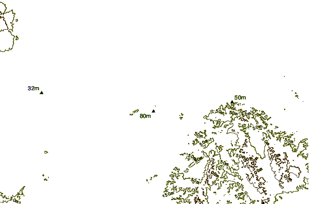
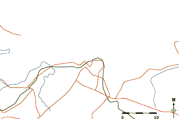
| Contours: | Roads & Rivers: | Select a
tide station / surf break / city |
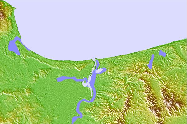
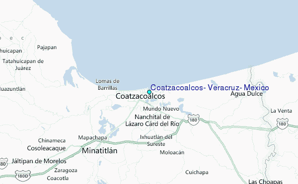
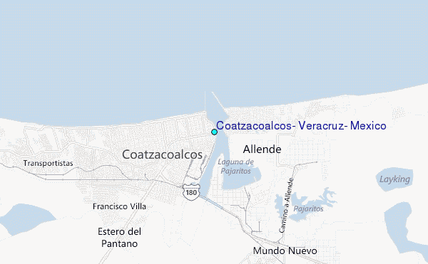
Use this relief map to navigate to tide stations, surf breaks and cities that are in the area of Coatzacoalcos, Veracruz, Mexico.
Other Nearby Locations' tide tables and tide charts to Coatzacoalcos, Veracruz, Mexico:
click location name for more details
 Surf breaks close to Coatzacoalcos, Veracruz, Mexico:
|
||
|---|---|---|
| Closest surf break | Salina Cruz | 144 mi |
| Second closest surf break | Punta Conejo | 147 mi |
| Third closest surf break | Puerto Arista | 151 mi |
| Fourth closest surf break | Punta Guetaguichi | 153 mi |
| Fifth closest surf break | Punta Chipehua | 162 mi |


 Nearest
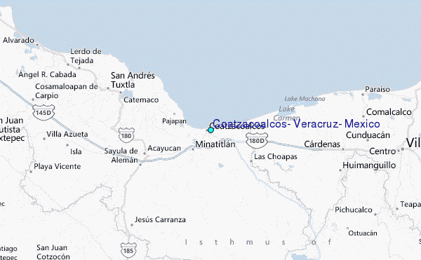