
| Distance / Altitude | Location | Report Date / Time | Live Weather | Wind | Gusts | Temp. | Visibility | Cloud |
|---|---|---|---|---|---|---|---|---|
| 20 km W / 3 m | BUOY-NCDV2 (Marine) | 2026-03-10 06:30 local (2026/03/10 10:30 GMT) | calm (2 km/h at 360) | 8°C | - | |||
| 26 km ENE / 44 m | St. Mary's County Regional Airport (Maryland) (Maryland) | 2026-03-10 06:35 local (2026/03/10 10:35 GMT) | Clear | calm (0 km/h at 0) | 9°C | 16 | ||
| 30 km ESE / 3 m | BUOY-PPTM2 (Marine) | 2026-03-10 06:30 local (2026/03/10 10:30 GMT) | - (0 km/h at -) | — | - | |||
| 34 km ENE / 3 m | BUOY-SLIM2 (Marine) | 2026-03-10 06:30 local (2026/03/10 10:30 GMT) | calm (5 km/h at 340) | 10°C | - | |||
| 38 km E / 218 m | Patuxent River Airport (Maryland) | 2026-03-10 05:52 local (2026/03/10 09:52 GMT) | - | wind obs. (6 kph from 340 degs) was rejected (- km/h at -) | 9°C | 16 | few | |
| 39 km ESE / 218 m | St. Inigoes- Webster Field (MD) Airport (United States) | 2026-03-10 05:53 local (2026/03/10 09:53 GMT) | Clear | calm (0 km/h at 0) | 9°C | 16 | ||
| 42 km ENE / 3 m | BUOY-COVM2 (Marine) | 2026-03-10 06:30 local (2026/03/10 10:30 GMT) | light winds from the ESE (11 km/h at 120) | 10°C | - | |||
| 42 km SE / 3 m | BUOY-LWTV2 (Marine) | 2026-03-10 06:30 local (2026/03/10 10:30 GMT) | calm (2 km/h at 280) | 13°C | - | |||
| 43 km S / 42 m | Tappahannock Airport (Virginia) | 2026-03-10 06:35 local (2026/03/10 10:35 GMT) | Clear | calm (0 km/h at 0) | 8°C | 16 | ||
| 48 km WNW / 219 m | Quantico Marine Corps Air Facility Airport (Virginia) | 2026-03-10 05:56 local (2026/03/10 09:56 GMT) | Clear | light winds from the W (6 km/h at 260) | 8°C | 16 |
| Contours: | Roads & Rivers: | Select a
tide station / surf break / city |
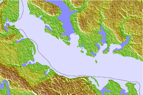
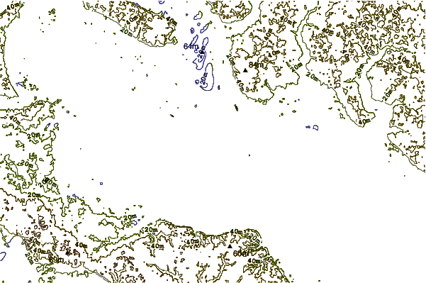
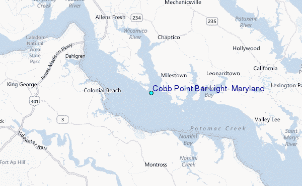
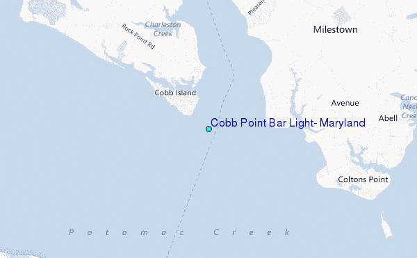
Use this relief map to navigate to tide stations, surf breaks and cities that are in the area of Cobb Point Bar Light, Maryland.
Other Nearby Locations' tide tables and tide charts to Cobb Point Bar Light, Maryland:
click location name for more details
 Surf breaks close to Cobb Point Bar Light, Maryland:
|
||
|---|---|---|
| Closest surf break | Chincoteague | 85 mi |
| Second closest surf break | Out Front | 85 mi |
| Third closest surf break | Grandview | 86 mi |
| Fourth closest surf break | Assateague | 92 mi |
| Fifth closest surf break | Fishermans Island | 94 mi |


 Nearest
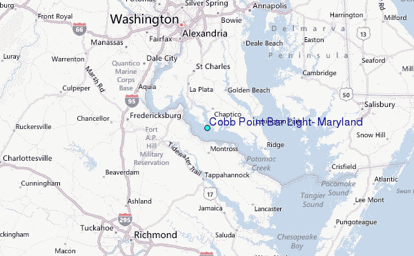