
| Distance / Altitude | Location | Report Date / Time | Live Weather | Wind | Gusts | Temp. | Visibility | Cloud |
|---|---|---|---|---|---|---|---|---|
| 8 km ENE / 20 m | Colonia/Laguna de los Patos Airport (Uruguay) | 2024-07-26 21:00 local (2024/07/27 00:00 GMT) | no report | moderate winds from the SE (22 km/h at 140) | 12°C | - | - - - | |
| 53 km SW / 204 m | Aeroparque Airport (Argentina) | 2024-07-26 21:00 local (2024/07/27 00:00 GMT) | - | light winds from the SE (17 km/h at 130) | — | 0.0 | ||
| 56 km SW / 7 m | Villa Sarmiento wx (Argentina) | 2024-07-26 22:28 local (2024/07/27 01:28 GMT) | dry | calm (0 km/h at 127) | 12°C | - | - - 0 | |
| 58 km SW / 24 m | Villa Ortúzar wx (Argentina) | 2024-07-26 22:33 local (2024/07/27 01:33 GMT) | dry | calm (0 km/h at 135) | 13°C | - | - - 0 | |
| 62 km SSW / 26 m | Burzaco wx (Argentina) | 2024-07-26 21:24 local (2024/07/27 00:24 GMT) | dry | calm (2 km/h at 180) | 11°C | - | - - 0 | |
| 64 km SW / 26 m | Sáenz Peña wx (Argentina) | 2024-07-26 22:40 local (2024/07/27 01:40 GMT) | dry | light winds from the ESE (18 km/h at 120) | 11°C | - | - - 0 | |
| 64 km WSW / 15 m | Villa Adelina wx (Argentina) | 2024-07-26 22:18 local (2024/07/27 01:18 GMT) | dry | calm (0 km/h at 158) | 12°C | - | - - 0 | |
| 67 km WSW / 195 m | San Fernando Airport (Argentina) | 2024-07-26 21:00 local (2024/07/27 00:00 GMT) | - | light winds from the ESE (11 km/h at 120) | — | 0.0 | ||
| 72 km SW / 213 m | Buenos Aires-Ezeiza International Airport (Argentina) | 2024-07-26 21:00 local (2024/07/27 00:00 GMT) | Dry and partly cloudy | light winds from the ESE (9 km/h at 110) | — | 0.0 | no significant cloud few scattered | |
| 72 km NE / 103 m | Nueva Helvecia (Åland) | 2024-07-26 22:03 local (2024/07/27 01:03 GMT) | dry | calm (0 km/h at 123) | 10°C | - | - - 0 |

| Contours: | Roads & Rivers: | Select a
tide station / surf break / city |
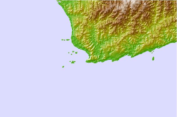
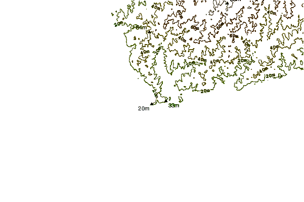
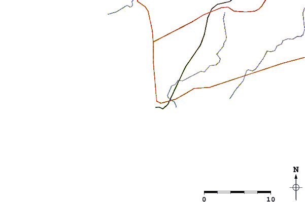
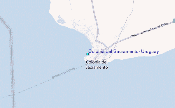
Use this relief map to navigate to tide stations, surf breaks and cities that are in the area of Colonia del Sacramento, Uruguay.
Other Nearby Locations' tide tables and tide charts to Colonia del Sacramento, Uruguay:
click location name for more details
 Surf breaks close to Colonia del Sacramento, Uruguay:
|
||
|---|---|---|
| Closest surf break | Playa Honda | 104 mi |
| Second closest surf break | Parque del Plata | 122 mi |
| Third closest surf break | Corralito | 122 mi |
| Fourth closest surf break | Santa Lucia del Este | 137 mi |
| Fifth closest surf break | San Francisco | 150 mi |

 Nearest
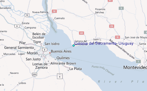