
| Distance / Altitude | Location | Report Date / Time | Live Weather | Wind | Gusts | Temp. | Visibility | Cloud |
|---|---|---|---|---|---|---|---|---|
| 37 km ENE / 44 m | St. Mary's County Regional Airport (Maryland) (Maryland) | 2026-05-22 21:30 local (2026/05/23 01:30 GMT) | Dry and cloudy | light winds from the N (7 km/h at 1) | 12°C | 16 | overcast | |
| 39 km WNW / 219 m | Quantico Marine Corps Air Facility Airport (Virginia) | 2026-05-22 22:09 local (2026/05/23 02:09 GMT) | Light rain | moderate winds from the NNE (20 km/h at 30) | 13°C | 13 | scattered overcast | |
| 43 km S / 42 m | Tappahannock Airport (Virginia) | 2026-05-22 21:35 local (2026/05/23 01:35 GMT) | Dry and cloudy | light winds from the NE (11 km/h at 40) | 14°C | 16 | overcast | |
| 43 km WSW / 219 m | Fredericksburg/Shannon Airport (Virginia) | 2026-05-22 21:35 local (2026/05/23 01:35 GMT) | Dry and cloudy | light winds from the N (7 km/h at 350) | — | 16 | scattered broken overcast | |
| 49 km ESE / 218 m | St. Inigoes- Webster Field (MD) Airport (United States) | 2026-05-22 20:53 local (2026/05/23 00:53 GMT) | Dry and cloudy | light winds from the E (19 km/h at 80) | 13°C | 16 | overcast | |
| 49 km E / 218 m | Patuxent River Airport (Maryland) | 2026-05-22 20:52 local (2026/05/23 00:52 GMT) | Dry and cloudy | moderate winds from the ENE (22 km/h at 70) | 13°C | 16 | overcast | |
| 55 km NW / 218 m | Fort Belvoir/Davison Airport (Virginia) | 2026-05-22 21:25 local (2026/05/23 01:25 GMT) | Light rain | calm.(Wind varies from 016 to 020 degs) (0 km/h at 0) | 11°C | 11 | few overcast | |
| 58 km NE / 3 m | Gooses Reef- MD (Marine) | 2026-05-22 22:18 local (2026/05/23 02:18 GMT) | fresh winds from the NE (29 km/h at 40) | 13°C | - | |||
| 60 km ESE / 3 m | Potomac Buoy (Marine) | 2026-05-22 22:18 local (2026/05/23 02:18 GMT) | moderate winds from the ENE (25 km/h at 70) | 14°C | - | |||
| 62 km NE / - m | SHIP900 (ocean) | 2026-05-22 22:00 local (2026/05/23 02:00 GMT) | - | fresh winds from the NE (29 km/h at 50) | 12°C | - | no observation |
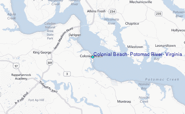
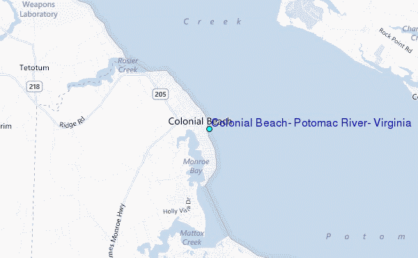
Choose Colonial Beach, Potomac River, Virginia Location Map Zoom:
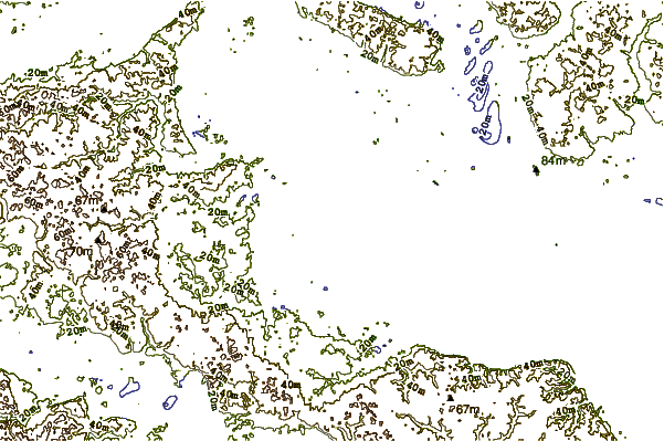
| Contours: | Roads & Rivers: | Select a
tide station / surf break / city |
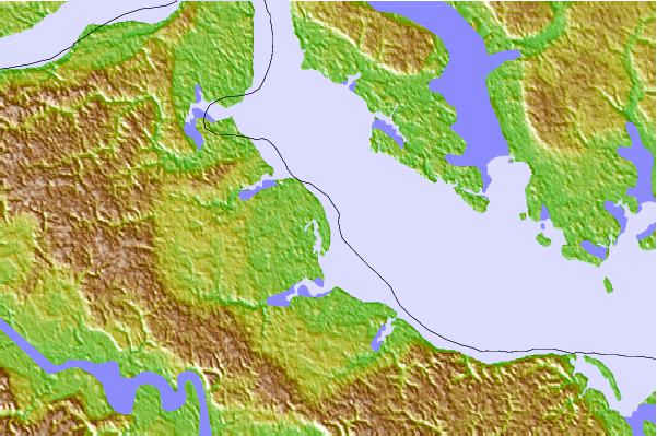
Use this relief map to navigate to tide stations, surf breaks and cities that are in the area of Colonial Beach, Potomac River, Virginia.
Other Nearby Locations' tide tables and tide charts to Colonial Beach, Potomac River, Virginia:
click location name for more details
 Surf breaks close to Colonial Beach, Potomac River, Virginia:
|
||
|---|---|---|
| Closest surf break | Grandview | 89 mi |
| Second closest surf break | Out Front | 91 mi |
| Third closest surf break | Chincoteague | 92 mi |
| Fourth closest surf break | Fishermans Island | 98 mi |
| Fifth closest surf break | Assateague | 99 mi |


 Nearest
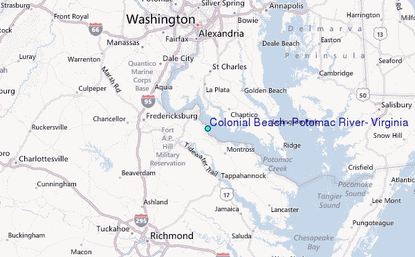