
| Distance / Altitude | Location | Report Date / Time | Live Weather | Wind | Gusts | Temp. | Visibility | Cloud |
|---|---|---|---|---|---|---|---|---|
| 53 km SE / 3 m | Western Aleutians Buoy (Marine) | 2026-05-06 10:20 local (2026/05/06 19:20 GMT) | - (18 km/h at -) | — | - | |||
| 268 km S / 3 m | SHIP9092 (Marine) | 2026-05-06 09:00 local (2026/05/06 18:00 GMT) | moderate winds from the W (25 km/h at 280) | 5°C | - | |||
| 286 km ENE / 506 m | Adak Naval Air Station Airport (Alaska) | 2026-05-06 08:56 local (2026/05/06 17:56 GMT) | Light rain | light winds from the E (17 km/h at 90) | 4°C | 16 | broken overcast | |
| 286 km ENE / 3 m | BUOY-ADKA2 (Marine) | 2026-05-06 10:00 local (2026/05/06 19:00 GMT) | light winds from the E (18 km/h at 80) | 4°C | - | |||
| 382 km W / 218 m | Eareckson/Shemya Airport (Alaska) | 2026-05-06 08:55 local (2026/05/06 17:55 GMT) | Mist - | moderate winds from the WSW (22 km/h at 240) | 4°C | 6 | few broken | |
| 286 km ENE / 506 m | Adak Naval Air Station Airport (Alaska) | 2026-05-06 08:56 local (2026/05/06 17:56 GMT) | Light rain | light winds from the E (17 km/h at 90) | 4°C | 16 | broken overcast | |
| 287 km ENE / 3 m | BUOY-ADKA2 (Marine) | 2026-05-06 10:00 local (2026/05/06 19:00 GMT) | light winds from the E (18 km/h at 80) | 4°C | - | |||
| 351 km N / 15 m | SHIP4169 (Marine) | 2026-05-06 10:00 local (2026/05/06 19:00 GMT) | strong winds from the SE (50.04 km/h at 140) | 13°C | - km | |||
| 351 km N / 3 m | SHIP5863 (Marine) | 2026-05-06 10:00 local (2026/05/06 19:00 GMT) | strong winds from the SE (50 km/h at 140) | 5°C | - | |||
| 366 km S / 15 m | SHIP4222 (Marine) | 2026-05-06 08:00 local (2026/05/06 17:00 GMT) | moderate winds from the S (27.720000000000002 km/h at 180) | 2°C | - km |
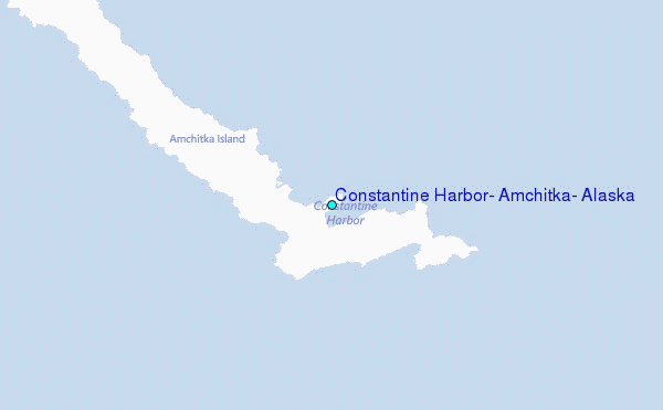
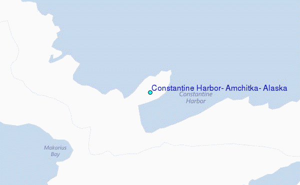
Choose Constantine Harbor, Amchitka, Alaska Location Map Zoom:
| Contours: | Roads & Rivers: | Select a
tide station / surf break / city |

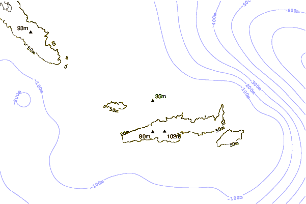
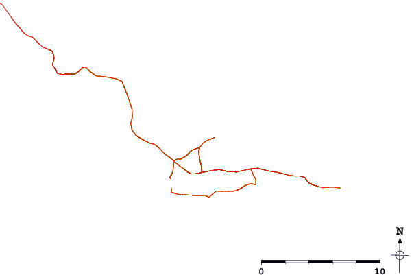
Use this relief map to navigate to tide stations, surf breaks and cities that are in the area of Constantine Harbor, Amchitka, Alaska.
Other Nearby Locations' tide tables and tide charts to Constantine Harbor, Amchitka, Alaska:
click location name for more details
 Surf breaks close to Constantine Harbor, Amchitka, Alaska:
|
||
|---|---|---|
| Closest surf break | Khalaktyrsky Beach | 869 mi |
| Second closest surf break | Fossil Beach Kodiak | 1204 mi |
| Third closest surf break | Monashka Bay | 1205 mi |
| Fourth closest surf break | Termination Point | 1206 mi |
| Fifth closest surf break | Mill Bay | 1208 mi |


 Nearest
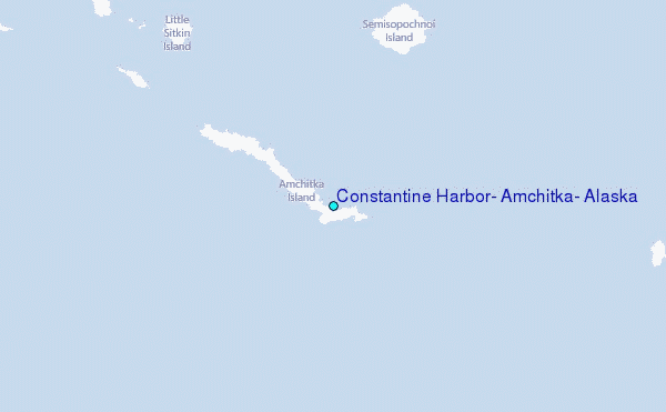