
| Distance / Altitude | Location | Report Date / Time | Live Weather | Wind | Gusts | Temp. | Visibility | Cloud |
|---|---|---|---|---|---|---|---|---|
| 15 km SW / 3 m | SHIP7620 (Marine) | 2026-03-30 15:00 local (2026/03/30 23:00 GMT) | light winds from the SE (17 km/h at 130) | 2°C | - | |||
| 16 km SW / 3 m | BUOY-WCXA2 (Marine) | 2026-03-30 17:02 local (2026/03/31 01:02 GMT) | light winds from the ENE (13 km/h at 60) | 2°C | - | |||
| 17 km SSW / 3 m | BUOY-KEXA2 (Marine) | 2026-03-30 17:02 local (2026/03/31 01:02 GMT) | light winds from the SE (11 km/h at 130) | — | - | |||
| 17 km S / 3 m | BUOY-SXXA2 (Marine) | 2026-03-30 17:02 local (2026/03/31 01:02 GMT) | light winds from the SE (8 km/h at 130) | 2°C | - | |||
| 17 km S / 3 m | BUOY-SLXA2 (Marine) | 2026-03-30 17:02 local (2026/03/31 01:02 GMT) | light winds from the SE (13 km/h at 140) | 1°C | - | |||
| 15 km SW / 15 m | SHIP7166 (Marine) | 2026-03-30 15:00 local (2026/03/30 23:00 GMT) | light winds from the SE (16.56 km/h at 130) | — | - km | |||
| 15 km SW / 15 m | SHIP2053 (Marine) | 2026-03-30 16:00 local (2026/03/31 00:00 GMT) | light winds from the ESE (12.96 km/h at 120) | — | - km | |||
| 15 km SW / 15 m | SHIP6295 (Marine) | 2026-03-30 16:00 local (2026/03/31 00:00 GMT) | light winds from the ESE (12.96 km/h at 120) | — | - km | |||
| 16 km SW / 3 m | BUOY-WCXA2 (Marine) | 2026-03-30 17:02 local (2026/03/31 01:02 GMT) | light winds from the ENE (13 km/h at 60) | 2°C | - | |||
| 17 km SSW / 3 m | BUOY-KEXA2 (Marine) | 2026-03-30 17:02 local (2026/03/31 01:02 GMT) | light winds from the SE (11 km/h at 130) | — | - |
| Contours: | Roads & Rivers: | Select a
tide station / surf break / city |
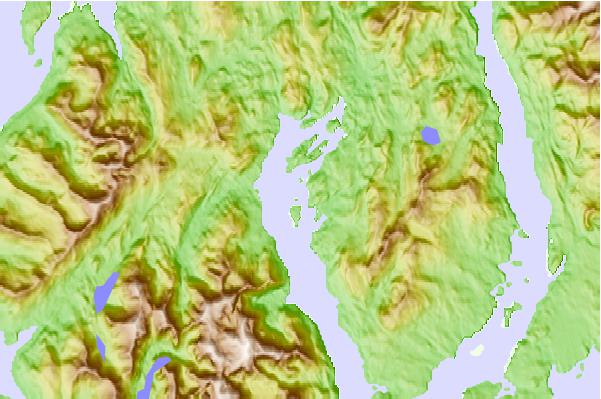
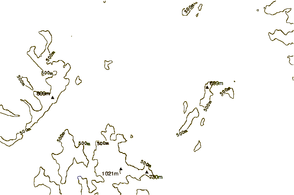
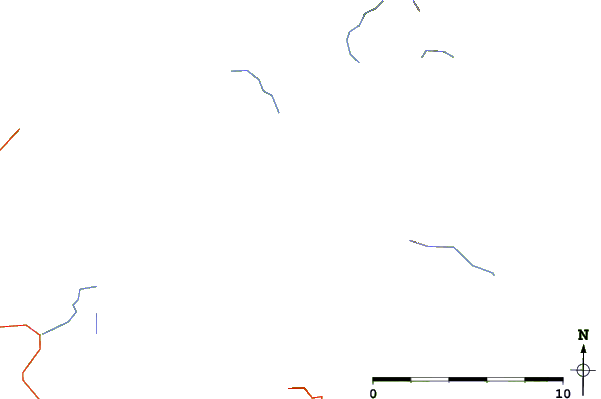
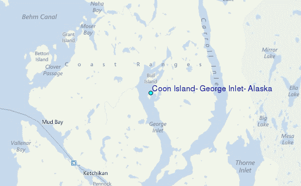
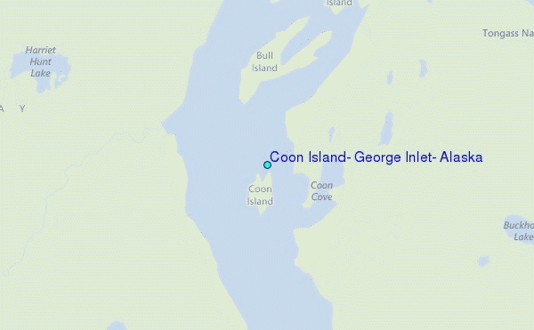
Use this relief map to navigate to tide stations, surf breaks and cities that are in the area of Coon Island, George Inlet, Alaska.
Other Nearby Locations' tide tables and tide charts to Coon Island, George Inlet, Alaska:
click location name for more details
 Surf breaks close to Coon Island, George Inlet, Alaska:
|
||
|---|---|---|
| Closest surf break | Tow Hill Beach | 96 mi |
| Second closest surf break | Lepus Beach (Haida-Gwaii) | 109 mi |
| Third closest surf break | Cannon Beach | 415 mi |
| Fourth closest surf break | Graveyards | 418 mi |
| Fifth closest surf break | Ocean Cape | 419 mi |


 Nearest
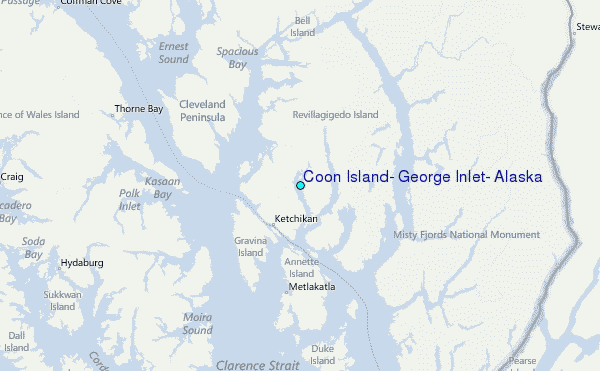