
| Distance / Altitude | Location | Report Date / Time | Live Weather | Wind | Gusts | Temp. | Visibility | Cloud |
|---|---|---|---|---|---|---|---|---|
| 6 km ENE / 3 m | BUOY-CHCM2 (Marine) | 2026-04-19 06:18 local (2026/04/19 10:18 GMT) | calm (4 km/h at 190) | — | - | |||
| 19 km NE / 24 m | Newark (Delaware) | 2026-04-19 05:08 local (2026/04/19 09:08 GMT) | dry | calm (0 km/h at 107) | 12°C | - | - - 0 | |
| 26 km ENE / 3 m | BUOY-DELD1 (Marine) | 2026-04-19 06:18 local (2026/04/19 10:18 GMT) | light winds from the E (8 km/h at 90) | — | - | |||
| 30 km NE / 216 m | Wilmington Airport (Delaware) | 2026-04-19 04:51 local (2026/04/19 08:51 GMT) | Dry and cloudy | light winds from the ENE (9 km/h at 60) | 12°C | 16 | overcast | |
| 37 km NE / 88 m | Greenville (Delaware) | 2026-04-19 06:41 local (2026/04/19 10:41 GMT) | dry | calm (0 km/h at 355) | 11°C | - | - - 0 | |
| 39 km NNE / 95 m | Kennett Square (Pennsylvania) | 2026-04-19 06:16 local (2026/04/19 10:16 GMT) | dry | calm (0 km/h at 65) | 12°C | - | - - 0 | |
| 40 km NE / 300 m | Greenville (Delaware) | 2026-04-19 06:27 local (2026/04/19 10:27 GMT) | dry | calm (0 km/h at 359) | 11°C | - | - - 0 | |
| 41 km SE / 17 m | Delaware Airpark Dover-Cheswold (Delaware) (Delaware) | 2026-04-19 05:35 local (2026/04/19 09:35 GMT) | Mist - | light winds from the E (9 km/h at 100) | 12°C | 1 | ||
| 44 km NE / 31 m | Bellevue Hills (Delaware) | 2026-04-19 06:36 local (2026/04/19 10:36 GMT) | dry | calm (0 km/h at 240) | 11°C | - | - - 0 | |
| 46 km SSW / 3 m | BUOY-TCBM2 (Marine) | 2026-04-19 06:18 local (2026/04/19 10:18 GMT) | - (0 km/h at -) | — | - |
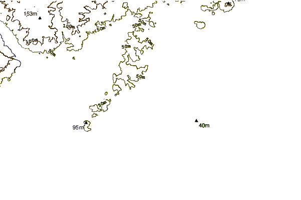
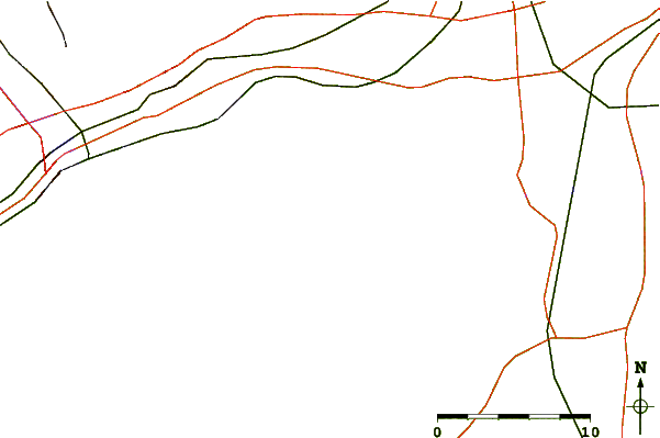
| Contours: | Roads & Rivers: | Select a
tide station / surf break / city |
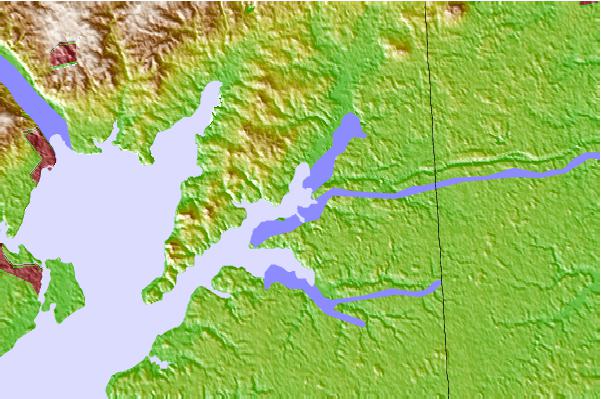
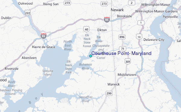
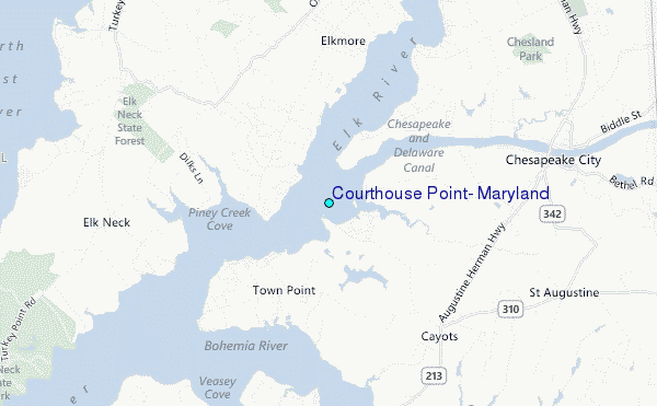
Use this relief map to navigate to tide stations, surf breaks and cities that are in the area of Courthouse Point, Maryland.
Other Nearby Locations' tide tables and tide charts to Courthouse Point, Maryland:
click location name for more details
 Surf breaks close to Courthouse Point, Maryland:
|
||
|---|---|---|
| Closest surf break | The Cove Cape May | 65 mi |
| Second closest surf break | Broadway | 65 mi |
| Third closest surf break | Queen Street | 66 mi |
| Fourth closest surf break | Naval Jetties | 67 mi |
| Fifth closest surf break | Poverty Beach | 67 mi |


 Nearest
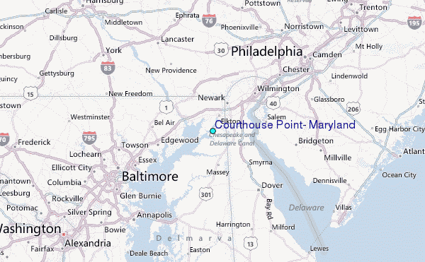