
| Distance / Altitude | Location | Report Date / Time | Live Weather | Wind | Gusts | Temp. | Visibility | Cloud |
|---|---|---|---|---|---|---|---|---|
| 7 km SW / 217 m | Moffett Federal Airfield Airport (California) | 2026-06-30 08:30 local (2026/06/30 15:30 GMT) | Clear | light winds from the SE (7 km/h at 140) | 17°C | 14 | ||
| 9 km N / 14 m | Fremont (California) | 2026-06-30 07:48 local (2026/06/30 14:48 GMT) | dry | light winds from the SW (10 km/h at 226) | 13°C | - | - - 0 | |
| 10 km SSE / 218 m | San Jose Airport (California) | 2026-06-30 07:53 local (2026/06/30 14:53 GMT) | - | moderate winds from the SSE (26 km/h at 160) | 16°C | 13 | few few | |
| 11 km SSW / 39 m | Sunnyvale wx (United States) | 2026-06-30 07:50 local (2026/06/30 14:50 GMT) | dry | calm (0 km/h at 191) | 14°C | - | - - 0 | |
| 13 km WSW / 7 m | Palo Alto (California) | 2026-06-30 07:31 local (2026/06/30 14:31 GMT) | dry | calm (2 km/h at 135) | 14°C | - | - - 0 | |
| 13 km S / 63 m | Sunnyvale (California) | 2026-06-30 08:28 local (2026/06/30 15:28 GMT) | dry | calm (3 km/h at 116) | 16°C | - | - - 0 | |
| 13 km SW / 16 m | Mountain View (California) | 2026-06-30 08:56 local (2026/06/30 15:56 GMT) | dry | calm (2 km/h at 224) | 17°C | - | - - 0 | |
| 14 km SE / 160 m | San Jose (California) | 2026-06-30 07:44 local (2026/06/30 14:44 GMT) | dry | calm (0 km/h at ) | 13°C | - | - - 0 | |
| 14 km WSW / 418 m | Palo Alto Airport (California) | 2026-06-30 07:47 local (2026/06/30 14:47 GMT) | - | light winds from the SSE (6 km/h at 160) | — | 13 | ||
| 14 km S / 41.8 m | Santa Clara (California) | 2026-06-30 07:53 local (2026/06/30 14:53 GMT) | dry | calm (5 km/h at 90) | 14°C | - | - - 0 |
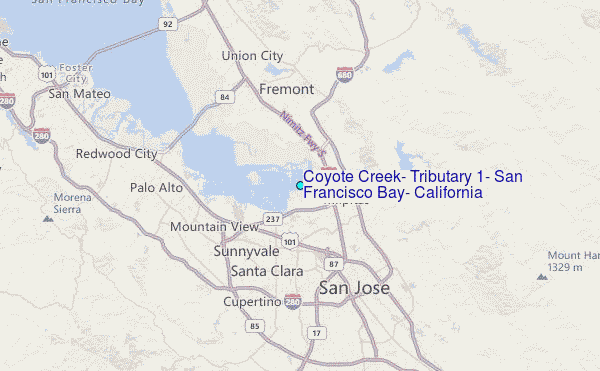
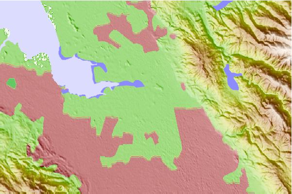
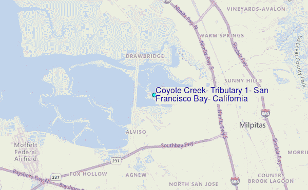
Choose Coyote Creek, Tributary #1, San Francisco Bay, California Location Map Zoom:
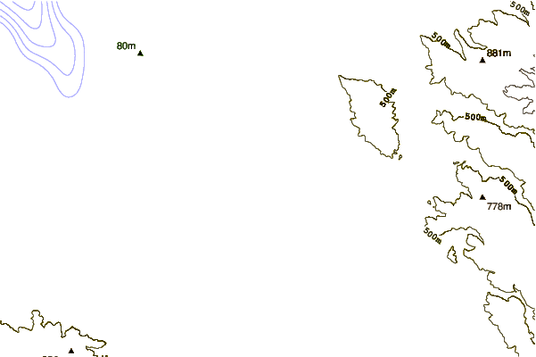
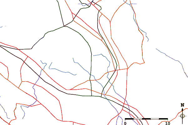
| Contours: | Roads & Rivers: | Select a
tide station / surf break / city |
Use this relief map to navigate to tide stations, surf breaks and cities that are in the area of Coyote Creek, Tributary #1, San Francisco Bay, California.
Other Nearby Locations' tide tables and tide charts to Coyote Creek, Tributary #1, San Francisco Bay, California:
click location name for more details
 Surf breaks close to Coyote Creek, Tributary #1, San Francisco Bay, California:
|
||
|---|---|---|
| Closest surf break | San Gregorio State Beach | 25 mi |
| Second closest surf break | Francis Beach | 26 mi |
| Third closest surf break | Pomponio State Beach | 27 mi |
| Fourth closest surf break | Pescadero State Beach | 27 mi |
| Fifth closest surf break | Princeton Breakwater | 29 mi |


 Nearest
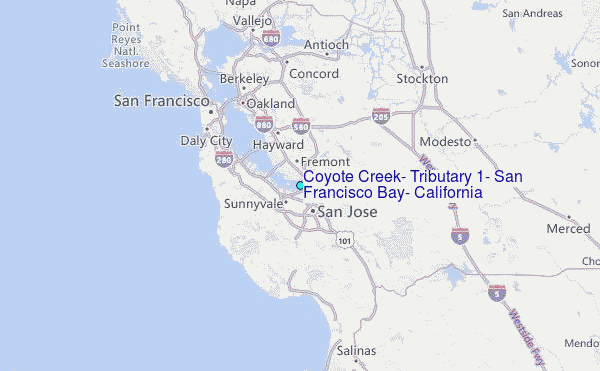