
| Distance / Altitude | Location | Report Date / Time | Live Weather | Wind | Gusts | Temp. | Visibility | Cloud |
|---|---|---|---|---|---|---|---|---|
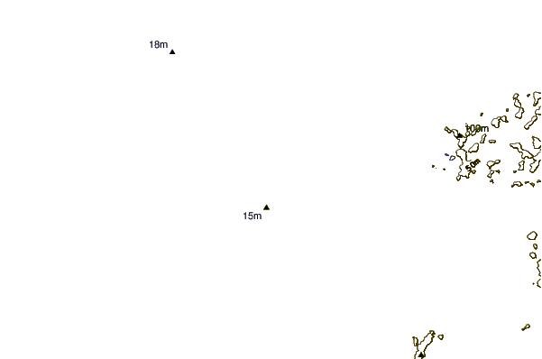
| 42 km NNE / 15 m | SHIP3535 (Marine) | 2026-06-14 08:00 local (2026/06/13 22:00 GMT) | - (- km/h at -) | 26°C | - km | |||
| 47 km NNE / 13 m | Horn Island Airport (Australia) | 2026-06-14 09:30 local (2026/06/13 23:30 GMT) | Dry and cloudy | moderate winds from the SE (24 km/h at 130) | 26°C | 10.0 | overcast | |
| 47 km NNE / 5 m | Horn Island Automatic Weather Station (Australia) | 2026-06-14 10:00 local (2026/06/14 00:00 GMT) | no report | fresh winds from the ESE (30 km/h at 120) | 27°C | - | - no observation - | |
| 146 km NE / 4 m | Coconut Island (Australia) | 2026-06-14 10:00 local (2026/06/14 00:00 GMT) | no report | - (- km/h at -) | 26°C | - | - | |
| 184 km S / 40 m | Scherger Raaf (Australia) | 2026-06-14 10:00 local (2026/06/14 00:00 GMT) | no report | light winds from the ESE (17 km/h at 120) | 26°C | - | - no observation - | |
| 47 km NNE / 13 m | Horn Island Airport (Australia) | 2026-06-14 09:30 local (2026/06/13 23:30 GMT) | Dry and cloudy | moderate winds from the SE (24 km/h at 130) | 26°C | 10.0 | overcast | |
| 145 km NE / 4 m | Coconut Island (Australia) | 2026-06-14 10:00 local (2026/06/14 00:00 GMT) | no report | - (- km/h at -) | 26°C | - | - | |
| 183 km S / 40 m | Scherger Raaf (Australia) | 2026-06-14 10:00 local (2026/06/14 00:00 GMT) | no report | light winds from the ESE (17 km/h at 120) | 26°C | - | - no observation - | |
| 191 km S / 471 m | Weipa Aerodrome (Australia) | 2026-06-14 10:00 local (2026/06/14 00:00 GMT) | no report | light winds from the E (15 km/h at 100) | 24°C | - | - no observation - | |
| 239 km SSE / 18 m | Lockhart River (Australia) | 2026-06-14 10:00 local (2026/06/14 00:00 GMT) | no report | moderate winds from the ESE (28 km/h at 120) | 25°C | - | - no observation - |
| Contours: | Roads & Rivers: | Select a
tide station / surf break / city |
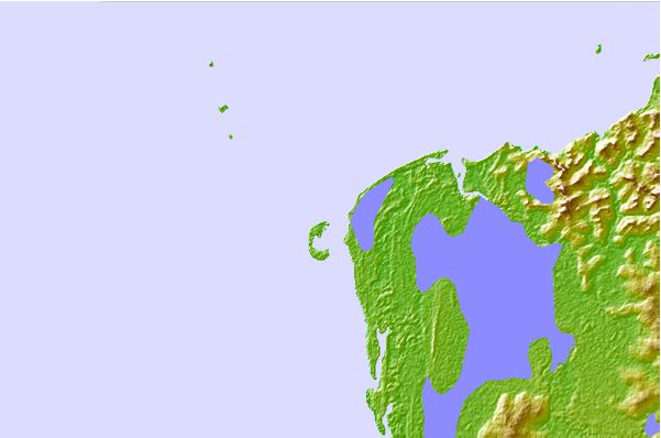
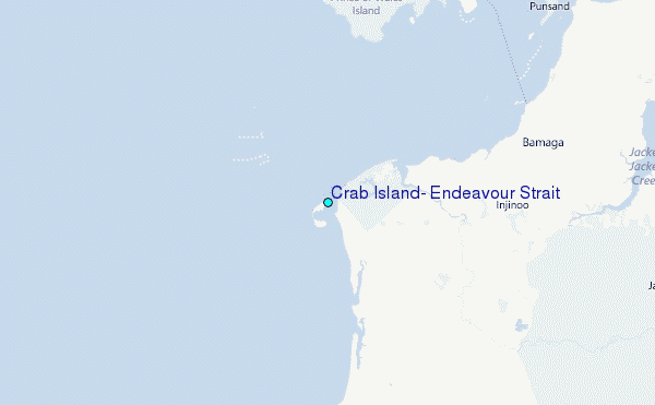
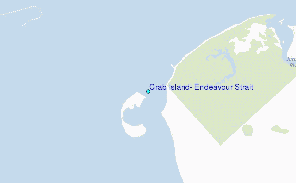
Use this relief map to navigate to tide stations, surf breaks and cities that are in the area of Crab Island, Endeavour Strait.
Other Nearby Locations' tide tables and tide charts to Crab Island, Endeavour Strait:
click location name for more details
 Surf breaks close to Crab Island, Endeavour Strait:
|
||
|---|---|---|
| Closest surf break | Tupira Right | 505 mi |
| Second closest surf break | Forok Point | 520 mi |
| Third closest surf break | The Wharf (Mission Point) | 522 mi |
| Fourth closest surf break | Wewak Point | 523 mi |
| Fifth closest surf break | Moem Point | 524 mi |


 Nearest
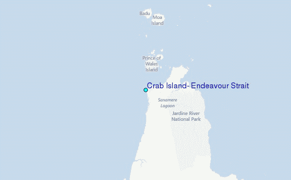