
| Distance / Altitude | Location | Report Date / Time | Live Weather | Wind | Gusts | Temp. | Visibility | Cloud |
|---|---|---|---|---|---|---|---|---|
| 15 km WSW / 217 m | Currituck County Airport (NC) (United States) | 2026-04-05 00:35 local (2026/04/05 04:35 GMT) | Clear | light winds from the SSW (13 km/h at 210) | 20°C | 16 | ||
| 23 km SSE / 3 m | Duck FRF- NC (Marine) | 2026-04-05 01:00 local (2026/04/05 05:00 GMT) | - (- km/h at -) | 16°C | - | |||
| 24 km SSE / 3 m | BUOY-DUKN7 (Marine) | 2026-04-05 01:00 local (2026/04/05 05:00 GMT) | moderate winds from the SSW (24 km/h at 210) | 20°C | - | |||
| 26 km ESE / 3 m | Duck FRF 26m- NC (Marine) | 2026-04-05 01:00 local (2026/04/05 05:00 GMT) | - (- km/h at -) | 14°C | - | |||
| 34 km SW / 218 m | Elizabeth City Airport (North Carolina) | 2026-04-04 23:54 local (2026/04/05 03:54 GMT) | Clear | moderate winds from the SSW (22 km/h at 210) | 19°C | 16 | ||
| 43 km WNW / 3 m | Fentress- Naval Auxiliary Landing Field (United States) | 2026-04-05 00:58 local (2026/04/05 04:58 GMT) | Clear | light winds from the N (11 km/h at 1) | 20°C | 16 | ||
| 43 km SSE / 219 m | Kill Devil Hills Airport (North Carolina) | 2026-04-05 00:35 local (2026/04/05 04:35 GMT) | Clear | light winds from the SSW.(Wind varies from 160 to 240 degs) (13 km/h at 210) | 20°C | 16 | ||
| 48 km WNW / 5 m | Battlewood Meadows wx (United States) | 2026-04-05 01:10 local (2026/04/05 05:10 GMT) | dry | calm (0 km/h at 357) | — | - | - - 0 | |
| 51 km NW / 217 m | Oceana Naval Air Station Airport (Virginia) | 2026-04-04 23:56 local (2026/04/05 03:56 GMT) | Clear | moderate winds from the SSW (26 km/h at 210) | 21°C | 16 | ||
| 53 km SSE / 219 m | Manteo/Dare County Airport (North Carolina) | 2026-04-05 00:35 local (2026/04/05 04:35 GMT) | Clear | moderate winds from the SW (28 km/h at 220) | 20°C | 16 |
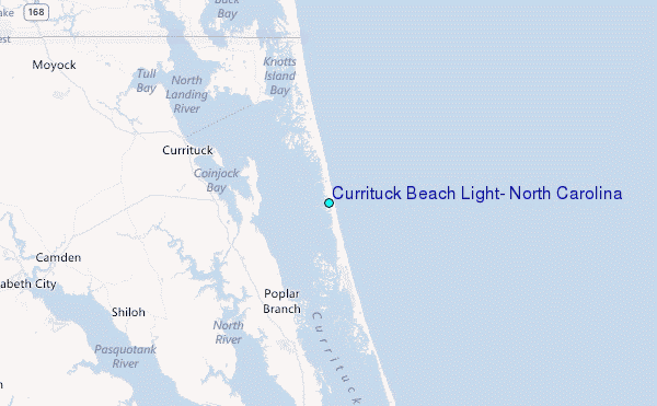
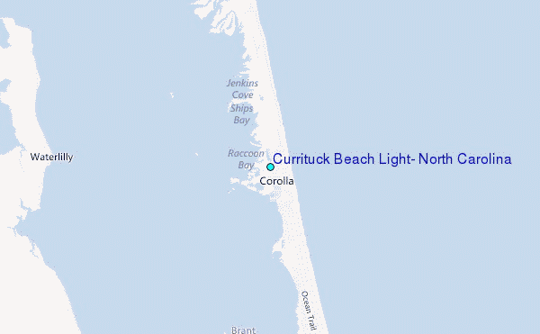
Choose Currituck Beach Light, North Carolina Location Map Zoom:
| Contours: | Roads & Rivers: | Select a
tide station / surf break / city |
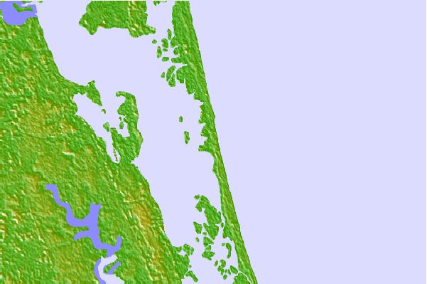
Use this relief map to navigate to tide stations, surf breaks and cities that are in the area of Currituck Beach Light, North Carolina.
Other Nearby Locations' tide tables and tide charts to Currituck Beach Light, North Carolina:
click location name for more details
 Surf breaks close to Currituck Beach Light, North Carolina:
|
||
|---|---|---|
| Closest surf break | Corolla Lighthouse | 1 mi |
| Second closest surf break | Chicahauk | 20 mi |
| Third closest surf break | Kitty Hawk Pier | 21 mi |
| Fourth closest surf break | Laundromats | 22 mi |
| Fifth closest surf break | Avalon Pier | 25 mi |


 Nearest
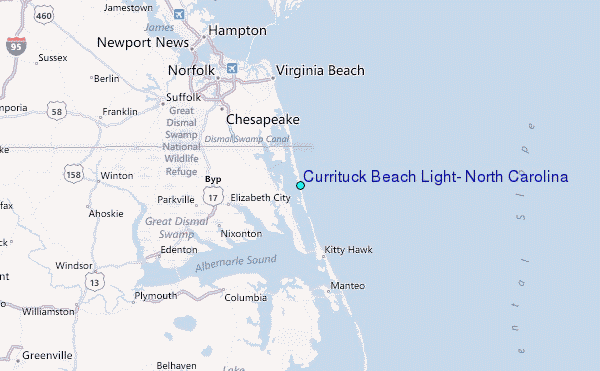