
| Distance / Altitude | Location | Report Date / Time | Live Weather | Wind | Gusts | Temp. | Visibility | Cloud |
|---|---|---|---|---|---|---|---|---|
| 4 km SW / 2 m | Palmetto Bay (Florida) | 2026-07-26 04:05 local (2026/07/26 08:05 GMT) | dry | - (- km/h at ) | — | - | - - 0 | |
| 5 km N / 6.1 m | Pinecrest (Florida) | 2026-07-26 04:17 local (2026/07/26 08:17 GMT) | dry | calm (0 km/h at 136) | 26°C | - | - - 0 | |
| 10 km NW / 4 m | S. Miami (Florida) | 2026-07-26 04:06 local (2026/07/26 08:06 GMT) | dry | calm (0 km/h at ) | 26°C | - | - - 0 | |
| 13 km N / 12 m | Coconut Grove (Florida) | 2026-07-26 03:19 local (2026/07/26 07:19 GMT) | dry | calm (0 km/h at 146) | 27°C | - | - - 0 | |
| 13 km WSW / 4 m | Richmond West wx (United States) | 2026-07-26 04:05 local (2026/07/26 08:05 GMT) | dry | calm (0 km/h at ) | 28°C | - | - - 0 | |
| 13 km W / 218 m | Miami/Tamiami Airport (Florida) | 2026-07-26 02:53 local (2026/07/26 06:53 GMT) | Clear | light winds from the WNW (6 km/h at 290) | 26°C | 16 | ||
| 15 km NNE / 33 m | Coconut Grove (Florida) | 2026-07-26 04:20 local (2026/07/26 08:20 GMT) | dry | calm (0 km/h at 254) | 27°C | - | - - 0 | |
| 18 km S / 216 m | Homestead Air Force Base Airport (Florida) | 2026-07-26 02:55 local (2026/07/26 06:55 GMT) | Clear | calm (0 km/h at 0) | 27°C | 16 | ||
| 19 km N / 219 m | Miami Airport (Florida) | 2026-07-26 02:53 local (2026/07/26 06:53 GMT) | - | light winds from the WSW (7 km/h at 250) | 28°C | 16 | few few | |
| 19 km NE / 3 m | BUOY-VAKF1 (Marine) | 2026-07-26 03:48 local (2026/07/26 07:48 GMT) | calm (5 km/h at 280) | 29°C | - |
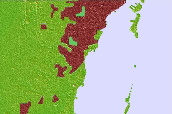
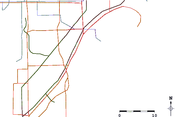
| Contours: | Roads & Rivers: | Select a
tide station / surf break / city |
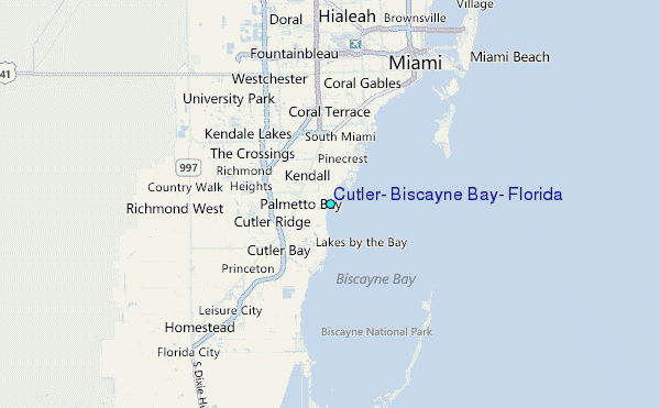
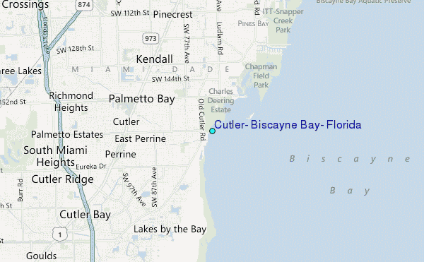
Use this relief map to navigate to tide stations, surf breaks and cities that are in the area of Cutler, Biscayne Bay, Florida.
Other Nearby Locations' tide tables and tide charts to Cutler, Biscayne Bay, Florida:
click location name for more details
 Surf breaks close to Cutler, Biscayne Bay, Florida:
|
||
|---|---|---|
| Closest surf break | South Beach (Miami) | 15 mi |
| Second closest surf break | Fifth Street (Miami) | 16 mi |
| Third closest surf break | 21st Street (Miami) | 17 mi |
| Fourth closest surf break | Dunes Hotel (Miami) | 18 mi |
| Fifth closest surf break | Harbor House | 23 mi |


 Nearest
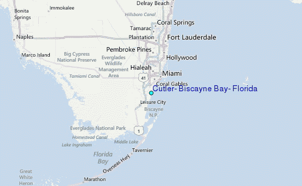