
| Distance / Altitude | Location | Report Date / Time | Live Weather | Wind | Gusts | Temp. | Visibility | Cloud |
|---|---|---|---|---|---|---|---|---|
| 0 km N / 3 m | BUOY-CFWM1 (Marine) | 2026-04-03 21:30 local (2026/04/04 01:30 GMT) | light winds from the W (17 km/h at 270) | 4°C | - | |||
| 25 km W / 48 m | Marshfield wx (United States) | 2026-04-03 22:11 local (2026/04/04 02:11 GMT) | dry | calm (0 km/h at 287) | 4°C | - | - - 0 | |
| 33 km E / 78 m | Grand Manan Sar Cs- NB (Canada) | 2026-04-03 22:00 local (2026/04/04 02:00 GMT) | - | light winds from the WSW (11 km/h at 250) | — | - | - no observation - | |
| 34 km NNE / 3 m | BUOY-PSBM1 (Marine) | 2026-04-03 21:30 local (2026/04/04 01:30 GMT) | light winds from the S (8 km/h at 190) | 4°C | - | |||
| 38 km NW / 83 m | Cooper (Maine) | 2026-04-03 21:43 local (2026/04/04 01:43 GMT) | dry | calm (0 km/h at ) | 4°C | - | - - 0 | |
| 40 km S / - m | SHIP841 (ocean) | 2026-04-03 22:00 local (2026/04/04 02:00 GMT) | - | moderate winds from the SW (25 km/h at 230) | — | - | no observation | |
| 40 km S / - m | SHIP745 (ocean) | 2026-04-03 22:00 local (2026/04/04 02:00 GMT) | - | moderate winds from the SW (25 km/h at 230) | — | - | no observation | |
| 40 km S / - m | SHIP348 (ocean) | 2026-04-03 21:00 local (2026/04/04 01:00 GMT) | - | fresh winds from the SW (29 km/h at 220) | — | - | no observation | |
| 40 km S / - m | SHIP1256 (ocean) | 2026-04-03 22:00 local (2026/04/04 02:00 GMT) | - | moderate winds from the SW (22 km/h at 230) | — | - | no observation | |
| 40 km S / - m | SHIP29 (ocean) | 2026-04-03 20:00 local (2026/04/04 00:00 GMT) | - | fresh winds from the SW (29 km/h at 220) | — | - | no observation |
| Contours: | Roads & Rivers: | Select a
tide station / surf break / city |
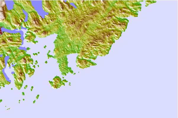
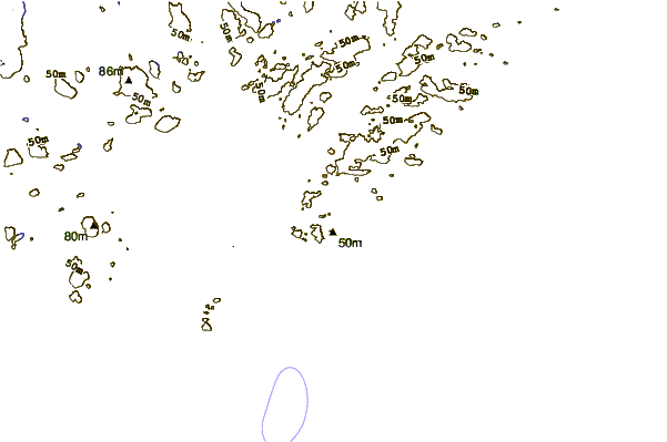
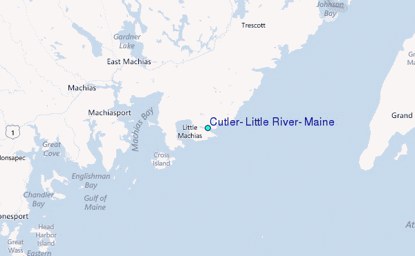
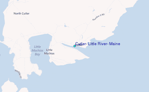
Use this relief map to navigate to tide stations, surf breaks and cities that are in the area of Cutler, Little River, Maine.
Other Nearby Locations' tide tables and tide charts to Cutler, Little River, Maine:
click location name for more details
 Surf breaks close to Cutler, Little River, Maine:
|
||
|---|---|---|
| Closest surf break | Summerville | 128 mi |
| Second closest surf break | White Point Beach | 132 mi |
| Third closest surf break | Scotts Bay | 132 mi |
| Fourth closest surf break | Western Head Reef | 134 mi |
| Fifth closest surf break | Western Head Point | 134 mi |


 Nearest
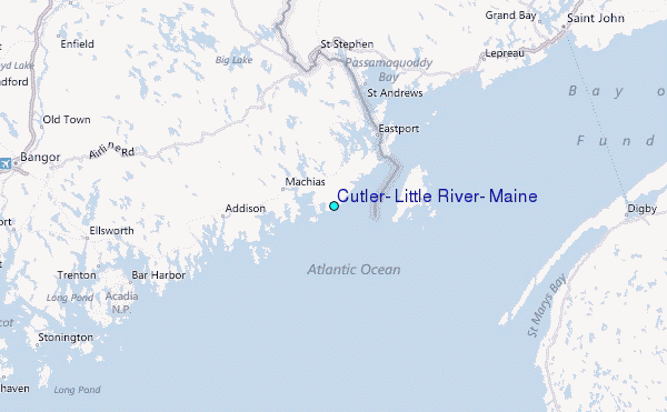