
| Distance / Altitude | Location | Report Date / Time | Live Weather | Wind | Gusts | Temp. | Visibility | Cloud |
|---|---|---|---|---|---|---|---|---|
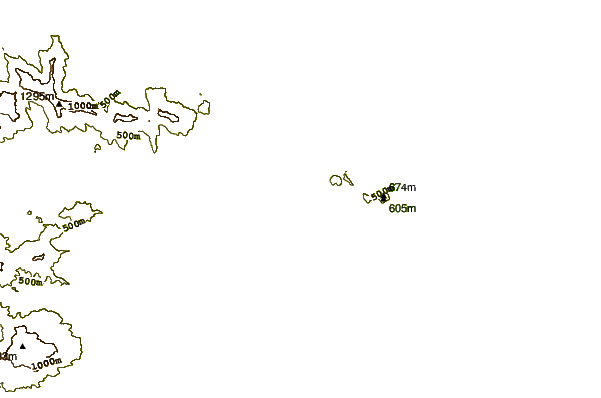
| 12 km S / 676 m | Da Nang International Airport (Viet Nam) | 2026-06-27 03:30 local (2026/06/26 20:30 GMT) | - | calm (4 km/h at 220) | — | 0.0 | ||
| 66 km W / 17 m | Hue Phubai Airport (Viet nam) | 2026-06-27 03:30 local (2026/06/26 20:30 GMT) | Dry and partly cloudy | light winds from the S (6 km/h at 190) | 28°C | 10.0 | few scattered | |
| 269 km SSE / 15 m | SHIP4307 (Marine) | 2026-06-27 03:00 local (2026/06/26 20:00 GMT) | calm (3.6 km/h at 180) | 27°C | 17.7 km | |||
| 355 km SW / 131 m | Ubon Ratchathani Agromet (Thailand) | 2026-06-27 02:00 local (2026/06/26 19:00 GMT) | no report | calm (2 km/h at 330) | 35°C | - | - | |
| 371 km SW / 203 m | Ubon/Ratchathani Airport (Thailand) | 2026-06-27 04:00 local (2026/06/26 21:00 GMT) | no report | light winds from the S.(Wind varies from 160 to 220 degs) (6 km/h at 190) | — | 0.0 | - - - | |
| 268 km SSE / 15 m | SHIP6365 (Marine) | 2026-06-27 03:00 local (2026/06/26 20:00 GMT) | calm (3.6 km/h at 180) | 27°C | 17.7 km | |||
| 355 km SW / 131 m | Ubon Ratchathani Agromet (Thailand) | 2026-06-27 02:00 local (2026/06/26 19:00 GMT) | no report | calm (2 km/h at 330) | 35°C | - | - | |
| 372 km SW / 203 m | Ubon/Ratchathani Airport (Thailand) | 2026-06-27 04:00 local (2026/06/26 21:00 GMT) | no report | light winds from the S.(Wind varies from 160 to 220 degs) (6 km/h at 190) | — | 0.0 | - - - | |
| 377 km WSW / 140 m | Mukdahan (Thailand) | 2026-06-27 04:00 local (2026/06/26 21:00 GMT) | - | calm (0 km/h at 280) | — | - | - | |
| 386 km WSW / 298 m | Amnat Charoen (Thailand) | 2026-06-27 04:00 local (2026/06/26 21:00 GMT) | no report | calm (4 km/h at 260) | 35°C | - | - - - |
| Contours: | Roads & Rivers: | Select a
tide station / surf break / city |
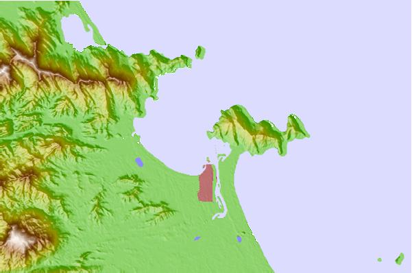
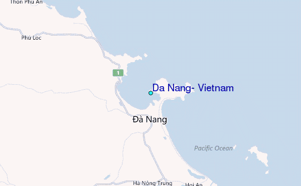
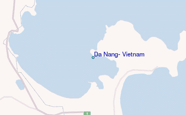
Use this relief map to navigate to tide stations, surf breaks and cities that are in the area of Da Nang, Vietnam.
Other Nearby Locations' tide tables and tide charts to Da Nang, Vietnam:
click location name for more details
 Surf breaks close to Da Nang, Vietnam:
|
||
|---|---|---|
| Closest surf break | My Khe / Da Nang | 4 mi |
| Second closest surf break | Nam O Point | 5 mi |
| Third closest surf break | Non Nuoc | 7 mi |
| Fourth closest surf break | China Beach | 11 mi |
| Fifth closest surf break | Lang Co | 13 mi |


 Nearest
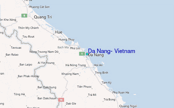