
| Distance / Altitude | Location | Report Date / Time | Live Weather | Wind | Gusts | Temp. | Visibility | Cloud |
|---|---|---|---|---|---|---|---|---|
| 5 km WNW / 4 m | Newagen (Maine) | 2024-04-25 16:30 local (2024/04/25 20:30 GMT) | dry | - (- km/h at ) | — | - | - - 0 | |
| 10 km NW / 6 m | West Boothbay Harbor (Maine) | 2024-04-25 17:00 local (2024/04/25 21:00 GMT) | dry | calm (5 km/h at 169) | 8°C | - | - - 0 | |
| 11 km WNW / 5 m | Georgetown (Maine) | 2024-04-25 16:45 local (2024/04/25 20:45 GMT) | dry | moderate winds from the SSE (21 km/h at 168) | 6°C | - | - - 0 | |
| 12 km NE / 16 m | New Harbor (Maine) | 2024-04-25 16:49 local (2024/04/25 20:49 GMT) | dry | moderate winds from the SW (21 km/h at 220) | 7°C | - | - - 0 | |
| 14 km N / 31 m | Boothbay wx (United States) | 2024-04-25 16:26 local (2024/04/25 20:26 GMT) | dry | light winds from the NNE (13 km/h at 17) | 11°C | - | - - 0 |
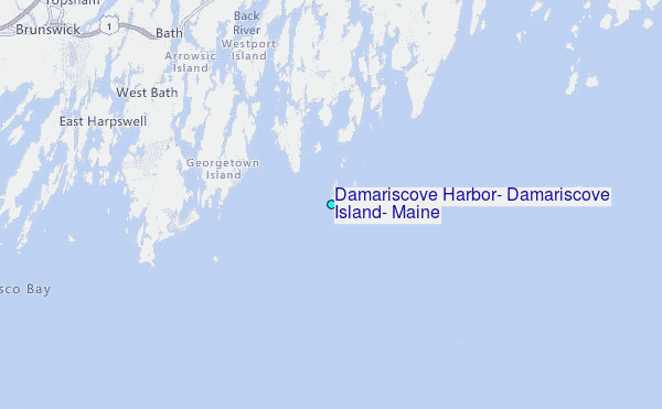
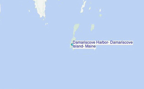
Choose Damariscove Harbor, Damariscove Island, Maine Location Map Zoom:
| Contours: | Roads & Rivers: | Select a
tide station / surf break / city |
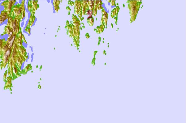
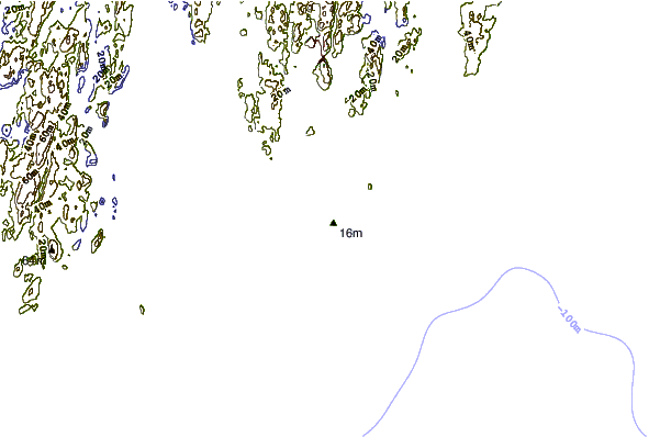
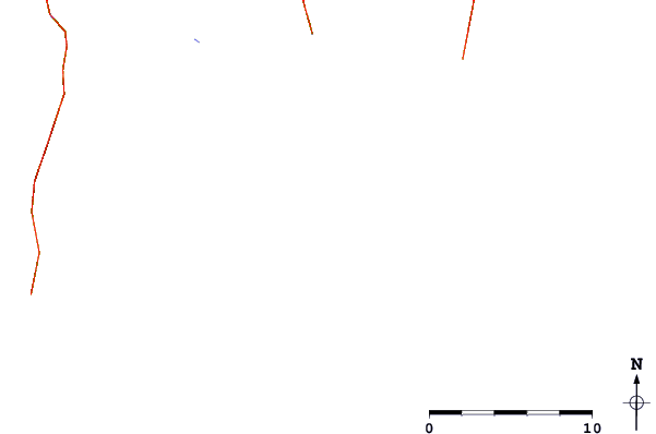
Use this relief map to navigate to tide stations, surf breaks and cities that are in the area of Damariscove Harbor, Damariscove Island, Maine.
Other Nearby Locations' tide tables and tide charts to Damariscove Harbor, Damariscove Island, Maine:
click location name for more details
 Surf breaks close to Damariscove Harbor, Damariscove Island, Maine:
|
||
|---|---|---|
| Closest surf break | Popham Read | 9 mi |
| Second closest surf break | Trayhan's | 19 mi |
| Third closest surf break | Two Lights | 32 mi |
| Fourth closest surf break | Doc Browns | 34 mi |
| Fifth closest surf break | Higgins Beach | 36 mi |

 Nearest
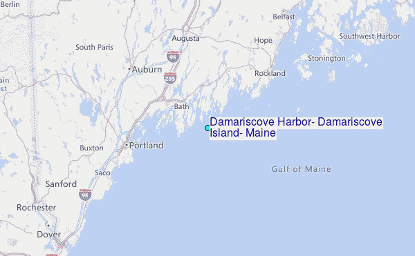