
| Distance / Altitude | Location | Report Date / Time | Live Weather | Wind | Gusts | Temp. | Visibility | Cloud |
|---|---|---|---|---|---|---|---|---|
| 169 km NW / 203 m | Guantanamo Bay Airport (Cuba) | 2025-12-20 14:51 local (2025/12/20 19:51 GMT) | - | moderate winds from the E (28 km/h at 100) | 31°C | 16 | few few | |
| 215 km WNW / 209 m | Santiago De Cuba Airport (Cuba) | 2025-12-20 14:50 local (2025/12/20 19:50 GMT) | - | light winds from the SSE.(Wind varies from 110 to 200 degs) (13 km/h at 150) | 29°C | 9.0 | few | |
| 217 km WNW / 55 m | SantiagoDECuba- Oriente (Cuba) | 2025-12-20 16:00 local (2025/12/20 21:00 GMT) | Haze | light winds from the SE (11 km/h at 140) | 29°C | 29 km | scattered | |
| 252 km SW / 3 m | SHIP8296 (Marine) | 2025-12-20 14:00 local (2025/12/20 19:00 GMT) | - (- km/h at -) | 30°C | - | |||
| 253 km SW / 3 m | SHIP6836 (Marine) | 2025-12-20 14:00 local (2025/12/20 19:00 GMT) | - (- km/h at -) | 30°C | - | |||
| 253 km SW / 3 m | SHIP1848 (Marine) | 2025-12-20 14:00 local (2025/12/20 19:00 GMT) | - (- km/h at -) | 30°C | - | |||
| 253 km SW / 3 m | SHIP570 (Marine) | 2025-12-20 14:00 local (2025/12/20 19:00 GMT) | - (- km/h at -) | 30°C | - | |||
| 253 km SW / 3 m | SHIP7656 (Marine) | 2025-12-20 14:00 local (2025/12/20 19:00 GMT) | - (- km/h at -) | 30°C | - | |||
| 253 km SW / 15 m | SHIP3666 (Marine) | 2025-12-20 14:00 local (2025/12/20 19:00 GMT) | - (- km/h at -) | — | - km | |||
| 253 km SW / 3 m | SHIP2162 (Marine) | 2025-12-20 14:00 local (2025/12/20 19:00 GMT) | - (- km/h at -) | 30°C | - |

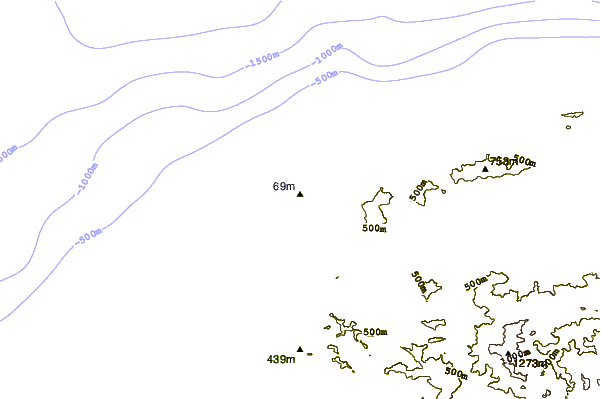
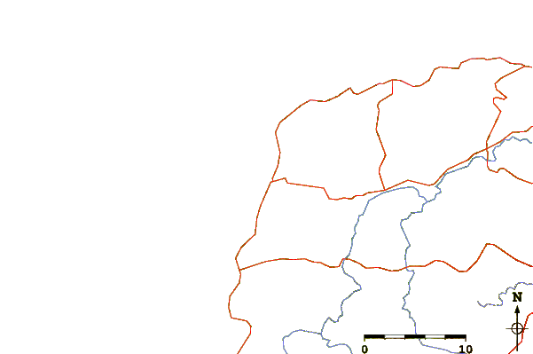
| Contours: | Roads & Rivers: | Select a
tide station / surf break / city |
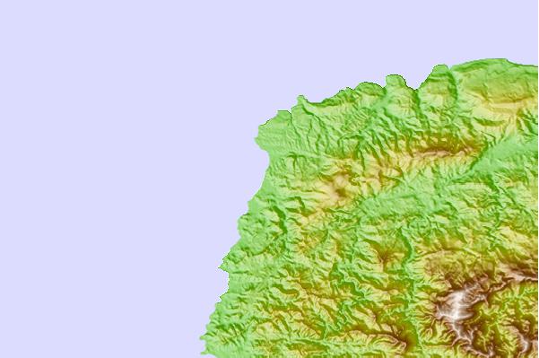
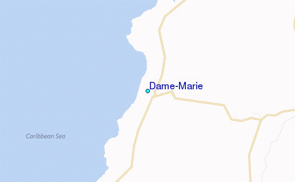
Use this relief map to navigate to tide stations, surf breaks and cities that are in the area of Dame-Marie.
Other Nearby Locations' tide tables and tide charts to Dame-Marie:
click location name for more details
 Surf breaks close to Dame-Marie:
|
||
|---|---|---|
| Closest surf break | The Ranch | 125 mi |
| Second closest surf break | Jacmel | 126 mi |
| Third closest surf break | Long Bay | 129 mi |
| Fourth closest surf break | Boston Bay | 129 mi |
| Fifth closest surf break | Winnifred Beach | 131 mi |


 Nearest