
| Distance / Altitude | Location | Report Date / Time | Live Weather | Wind | Gusts | Temp. | Visibility | Cloud |
|---|---|---|---|---|---|---|---|---|
| 44 km ESE / 6 m | Port Said/EL Gamil (Egypt) | 2026-08-01 22:00 local (2026/08/01 20:00 GMT) | no report | light winds from the NNE (9 km/h at 20) | 29°C | 10 | - - - | |
| 48 km ESE / 214 m | Port Said Airport (Egypt) | 2026-08-01 22:00 local (2026/08/01 20:00 GMT) | - | light winds from the N (19 km/h at 360) | — | 0.0 | ||
| 50 km ENE / 3 m | SHIP2964 (Marine) | 2026-08-01 23:00 local (2026/08/01 21:00 GMT) | moderate winds from the N (21 km/h at 10) | 29°C | 20.4 | |||
| 69 km W / 188 m | Baltim (Egypt) | 2026-08-01 22:00 local (2026/08/01 20:00 GMT) | no report | wind obs. (7 kph from 320 degs) was rejected (- km/h at -) | 30°C | 10 | - | |
| 101 km SSE / 108 m | Ismailia Air Base (Egypt) | 2026-08-01 22:00 local (2026/08/01 20:00 GMT) | no report | light winds from the NNE (9 km/h at 30) | 32°C | 10 | - - - | |
| 150 km S / 74 m | Cairo (Egypt) | 2026-08-01 22:00 local (2026/08/01 20:00 GMT) | no report | light winds from the NE (7 km/h at 40) | 33°C | 10 | - | |
| 151 km S / 217 m | Cairo International Airport (Egypt) | 2026-08-01 22:30 local (2026/08/01 20:30 GMT) | Dry and partly cloudy | moderate winds from the NE (24 km/h at 40) | — | 0.0 | no significant cloud scattered - | |
| 180 km WSW / 7 m | Nouzha (Egypt) | 2026-08-01 22:00 local (2026/08/01 20:00 GMT) | no report | light winds from the NNE (13 km/h at 20) | 27°C | 10 | - |
| Contours: | Roads & Rivers: | Select a
tide station / surf break / city |
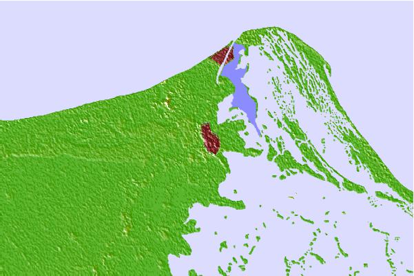
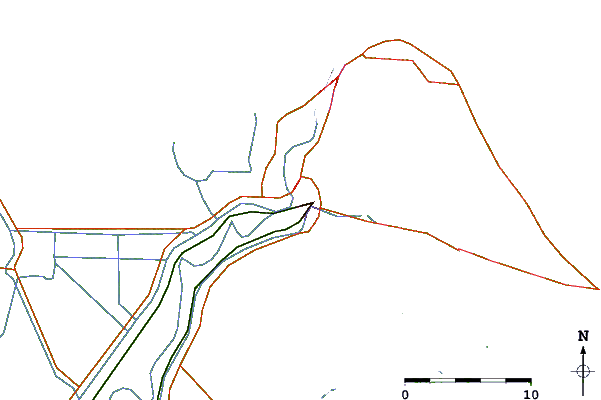
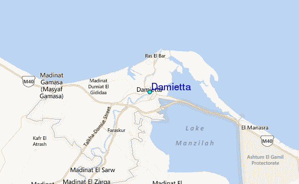
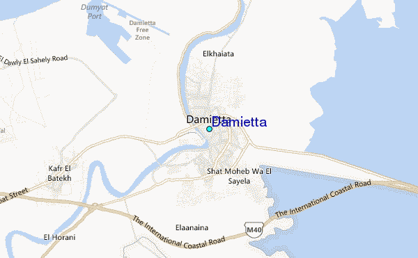
Use this relief map to navigate to tide stations, surf breaks and cities that are in the area of Damietta.
Other Nearby Locations' tide tables and tide charts to Damietta:
click location name for more details
 Surf breaks close to Damietta:
|
||
|---|---|---|
| Closest surf break | Mandara | 107 mi |
| Second closest surf break | El Corniche | 109 mi |
| Third closest surf break | Ramadas | 109 mi |
| Fourth closest surf break | Shatby | 113 mi |
| Fifth closest surf break | Agami | 122 mi |


 Nearest
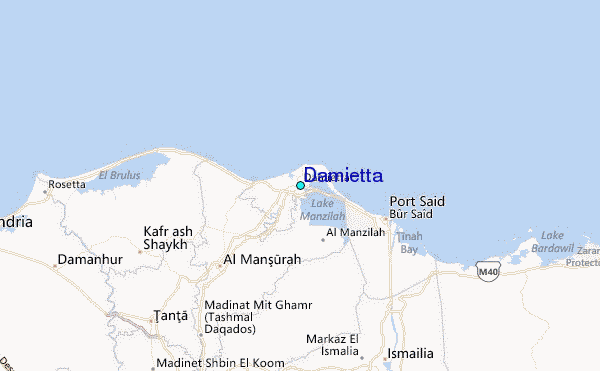