
| Distance / Altitude | Location | Report Date / Time | Live Weather | Wind | Gusts | Temp. | Visibility | Cloud |
|---|---|---|---|---|---|---|---|---|
| 3 km SE / 3 m | BUOY-46285 (Marine) | 2026-05-20 08:56 local (2026/05/20 15:56 GMT) | - (- km/h at -) | — | - | |||
| 15 km SSE / 3 m | BUOY-46277 (Marine) | 2026-05-20 09:00 local (2026/05/20 16:00 GMT) | - (- km/h at -) | 17°C | - | |||
| 24 km N / 309 m | Coeur d Alene (Idaho) | 2026-05-20 09:23 local (2026/05/20 16:23 GMT) | - | calm (0 km/h at 134) | — | - | - - 0 | |
| 27 km SE / 3 m | BUOY-46275 (Marine) | 2026-05-20 09:30 local (2026/05/20 16:30 GMT) | - (- km/h at -) | 18°C | - | |||
| 27 km WNW / 218 m | Costa Mesa Airport (California) | 2026-05-20 07:53 local (2026/05/20 14:53 GMT) | Clear | calm (0 km/h at 0) | 19°C | 16 | ||
| 28 km NW / 22.8 m | Irvine (California) | 2026-05-20 09:15 local (2026/05/20 16:15 GMT) | dry | calm (2 km/h at 340) | 22°C | - | - - 0 | |
| 34 km NE / 850 m | Edwards (United States) | 2026-05-20 09:00 local (2026/05/20 16:00 GMT) | - | moderate winds from the NNE (26 km/h at 15) | 26°C | - | - - 0 | |
| 35 km ENE / 885 m | TheE (United States) | 2026-05-20 09:00 local (2026/05/20 16:00 GMT) | - | calm (4 km/h at 356) | 28°C | - | - - 0 | |
| 38 km SSE / 3 m | Oceanside Offshore- CA (Marine) | 2026-05-20 09:26 local (2026/05/20 16:26 GMT) | - (- km/h at -) | — | - | |||
| 40 km ESE / 617 m | Camp Pendleton Airport (California) | 2026-05-20 07:52 local (2026/05/20 14:52 GMT) | Dry and partly cloudy | calm (0 km/h at 0) | 14°C | 16 | scattered |
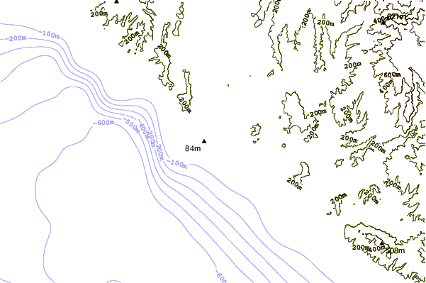
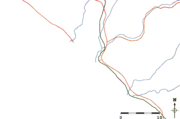
| Contours: | Roads & Rivers: | Select a
tide station / surf break / city |
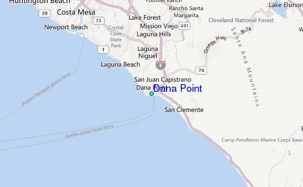
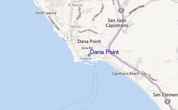
Use this relief map to navigate to tide stations, surf breaks and cities that are in the area of Dana Point.
Other Nearby Locations' tide tables and tide charts to Dana Point:
click location name for more details
 Surf breaks close to Dana Point:
|
||
|---|---|---|
| Closest surf break | Dana Point | 1 mi |
| Second closest surf break | Doheney Beach | 1 mi |
| Third closest surf break | Salt Creek (Gravels) | 1 mi |
| Fourth closest surf break | Salt Creek Point | 1 mi |
| Fifth closest surf break | Poche Beach | 2 mi |


 Nearest
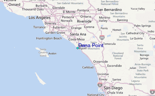