
| Distance / Altitude | Location | Report Date / Time | Live Weather | Wind | Gusts | Temp. | Visibility | Cloud |
|---|---|---|---|---|---|---|---|---|
| 14 km SW / 376 m | Dar Es Salaam Airport (Tanzania) | 2026-04-05 07:00 local (2026/04/05 04:00 GMT) | - | light winds from the WNW (6 km/h at 290) | 25°C | 10.0 | few few - | |
| 67 km N / 372 m | Zanzibar/Kisauni Airport (Tanzania) | 2026-04-05 07:00 local (2026/04/05 04:00 GMT) | Dry and partly cloudy | light winds from the SSW (11 km/h at 210) | 27°C | 10.0 | scattered | |
| 106 km ESE / 15 m | hy2b40E7S (Marine) | 2026-04-05 06:41 local (2026/04/05 03:41 GMT) | light winds from the S (8 km/h at 172) | — | - km | |||
| 130 km ENE / 15 m | hy2b40E6S (Marine) | 2026-04-05 06:41 local (2026/04/05 03:41 GMT) | light winds from the SSE (7 km/h at 152) | — | - km | |||
| 155 km ESE / 15 m | hy2b41E7S (Marine) | 2026-04-05 06:41 local (2026/04/05 03:41 GMT) | light winds from the SSE (7 km/h at 165) | — | - km | |||
| 175 km ENE / 15 m | hy2b41E6S (Marine) | 2026-04-05 06:41 local (2026/04/05 03:41 GMT) | calm (4 km/h at 150) | — | - km | |||
| 186 km WSW / 365 m | Morogoro (Tanzania) | 2026-04-05 07:00 local (2026/04/05 04:00 GMT) | Dry and partly cloudy | calm (0 km/h at 0) | 23°C | 10.0 | scattered - - | |
| 192 km SE / 15 m | hy2b40E8S (Marine) | 2026-04-05 06:42 local (2026/04/05 03:42 GMT) | light winds from the S (15 km/h at 182) | — | - km | |||
| 202 km NNE / 15 m | hy2b40E5S (Marine) | 2026-04-05 06:41 local (2026/04/05 03:41 GMT) | light winds from the SSE (10 km/h at 152) | — | - km | |||
| 206 km NE / 15 m | hy2b41E5S (Marine) | 2026-04-05 06:41 local (2026/04/05 03:41 GMT) | light winds from the SE (8 km/h at 138) | — | - km |
| Contours: | Roads & Rivers: | Select a
tide station / surf break / city |
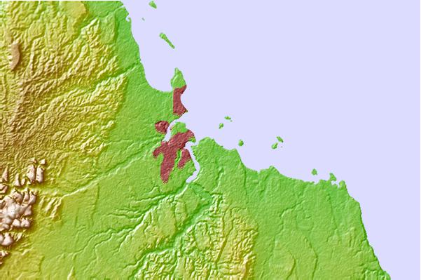
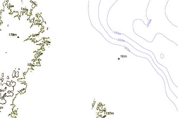
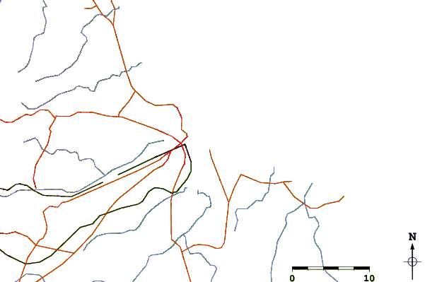
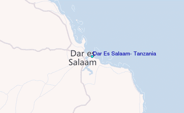
Use this relief map to navigate to tide stations, surf breaks and cities that are in the area of Dar Es Salaam, Tanzania.
Other Nearby Locations' tide tables and tide charts to Dar Es Salaam, Tanzania:
click location name for more details
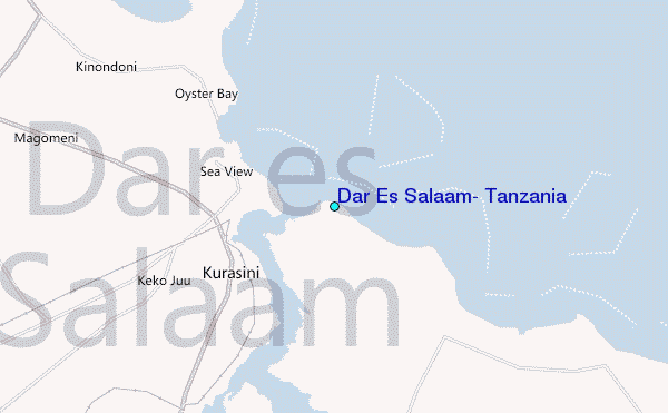
 Surf breaks close to Dar Es Salaam, Tanzania:
|
||
|---|---|---|
| Closest surf break | Oyster Bay Beach - Coco Beach | 4 mi |
| Second closest surf break | Sea Cliff | 6 mi |
| Third closest surf break | Jam's Right | 8 mi |
| Fourth closest surf break | Nungwi Reefs | 76 mi |
| Fifth closest surf break | Mombasa Channel | 191 mi |


 Nearest
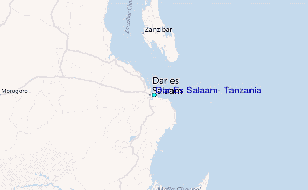