
| Distance / Altitude | Location | Report Date / Time | Live Weather | Wind | Gusts | Temp. | Visibility | Cloud |
|---|---|---|---|---|---|---|---|---|
| 25 km NNE / 216 m | Bahrain International Airport (Bahrain) | 2025-12-25 11:30 local (2025/12/25 08:30 GMT) | Dry and partly cloudy | light winds from the N.(Wind varies from 310 to 020 degs) (9 km/h at 350) | — | 0.0 | few scattered scattered | |
| 43 km W / 213 m | Dhahran International Airport (Saudi Arabia) | 2025-12-25 11:00 local (2025/12/25 08:00 GMT) | Dry and partly cloudy | light winds from the N (6 km/h at 1) | 22°C | 7.0 | no significant cloud | |
| 51 km WSW / 1 m | Zabnah Kite Lagoon (Saudi Arabia) | 2025-12-25 12:00 local (2025/12/25 09:00 GMT) | - | light winds from the NNE (15 km/h at 30) | 22°C | - | - - 0 | |
| 52 km ESE / 3 m | Alshehaimiya (Qatar) | 2025-12-25 12:00 local (2025/12/25 09:00 GMT) | - | light winds from the WNW (11 km/h at 290) | 19°C | 32 km | no observation | |
| 70 km E / 5 m | Ar-Ruʼays Port (Al Ruwais) (Qatar) | 2025-12-25 12:00 local (2025/12/25 09:00 GMT) | - | light winds from the W (7 km/h at 270) | 21°C | 39 km | no observation | |
| 78 km SSE / 5 m | Dukhan (Qatar) | 2025-12-25 12:00 local (2025/12/25 09:00 GMT) | - | light winds from the W (11 km/h at 280) | 19°C | 40 km | no observation | |
| 81 km ESE / 18 m | Alguwayriyah (Qatar) | 2025-12-25 12:00 local (2025/12/25 09:00 GMT) | - | wind obs. (9 kph from 260 degs) was rejected (- km/h at -) | 22°C | 40 km | no observation | |
| 83 km W / 217 m | King Fahd International Airport (Saudi Arabia) | 2025-12-25 11:00 local (2025/12/25 08:00 GMT) | Dry and partly cloudy | light winds from the NNW (15 km/h at 340) | 20°C | 6.0 | no significant cloud | |
| 124 km SE / 24 m | QatarUniversity (Qatar) | 2025-12-25 12:00 local (2025/12/25 09:00 GMT) | - | calm (4 km/h at 300) | 23°C | 36 km | no observation | |
| 130 km SSE / 48 m | Alkaranaa (Qatar) | 2025-12-25 12:00 local (2025/12/25 09:00 GMT) | - | light winds from the WSW (9 km/h at 240) | 21°C | 36 km | no observation |
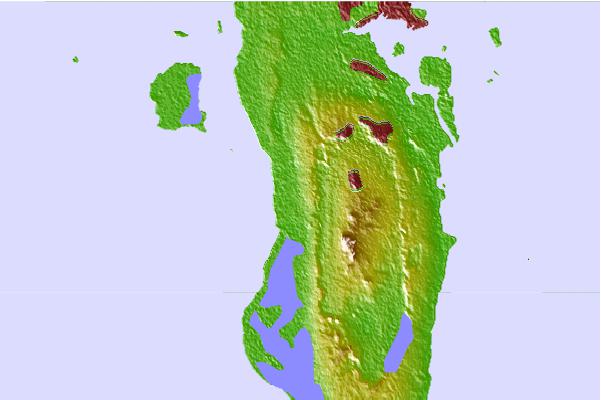
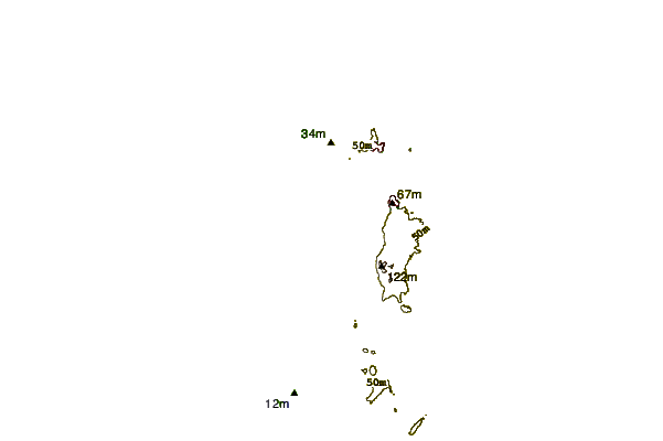
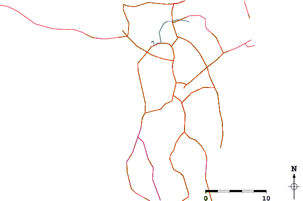
| Contours: | Roads & Rivers: | Select a
tide station / surf break / city |
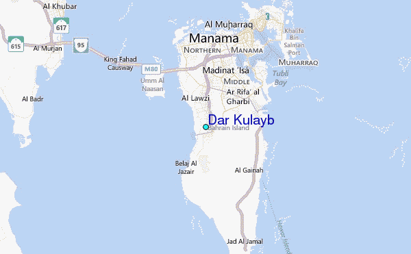
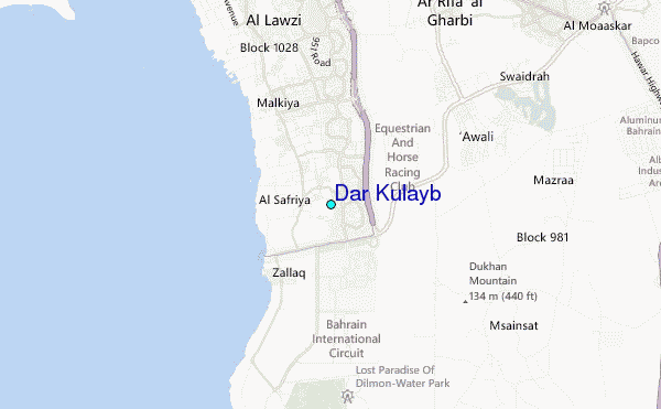
Use this relief map to navigate to tide stations, surf breaks and cities that are in the area of Dar Kulayb.
Other Nearby Locations' tide tables and tide charts to Dar Kulayb:
click location name for more details
 Surf breaks close to Dar Kulayb:
|
||
|---|---|---|
| Closest surf break | Mangaf | 255 mi |
| Second closest surf break | Jebal Ali Lefts | 288 mi |
| Third closest surf break | Jumeirah Beach | 299 mi |
| Fourth closest surf break | Al Hamra - Ras Al Khema | 329 mi |
| Fifth closest surf break | Tim's Reef | 367 mi |


 Nearest
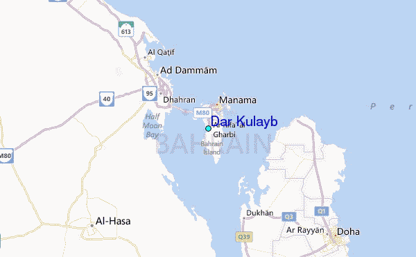