
| Distance / Altitude | Location | Report Date / Time | Live Weather | Wind | Gusts | Temp. | Visibility | Cloud |
|---|---|---|---|---|---|---|---|---|
| 102 km ESE / 15 m | ASCATC144E9S (Marine) | 2026-02-20 09:31 local (2026/02/19 23:31 GMT) | light winds from the SSW (8 km/h at 191) | — | - km | |||
| 110 km S / 4 m | Coconut Island (Australia) | 2026-02-20 11:00 local (2026/02/20 01:00 GMT) | no report | - (- km/h at -) | 26°C | - | - | |
| 124 km ENE / 15 m | ASCATC144E8S (Marine) | 2026-02-20 09:30 local (2026/02/19 23:30 GMT) | calm (1 km/h at 23) | — | - km | |||
| 149 km ESE / 15 m | ASCATC145E9S (Marine) | 2026-02-20 09:31 local (2026/02/19 23:31 GMT) | light winds from the SSE (6 km/h at 162) | — | - km | |||
| 154 km S / 15 m | ASCATC143E10S (Marine) | 2026-02-20 09:31 local (2026/02/19 23:31 GMT) | calm (1 km/h at 69) | — | - km | |||
| 155 km SSE / 15 m | ASCATC144E10S (Marine) | 2026-02-20 09:31 local (2026/02/19 23:31 GMT) | calm (1 km/h at 196) | — | - km | |||
| 160 km SSW / 15 m | SHIP5262 (Marine) | 2026-02-20 09:00 local (2026/02/19 23:00 GMT) | - (- km/h at -) | 29°C | - km | |||
| 160 km SSW / 15 m | SHIP6795 (Marine) | 2026-02-20 09:00 local (2026/02/19 23:00 GMT) | - (- km/h at -) | 29°C | - km | |||
| 160 km SSW / 3 m | SHIP5058 (Marine) | 2026-02-20 10:00 local (2026/02/20 00:00 GMT) | - (- km/h at -) | 31°C | - | |||
| 160 km SSW / 3 m | SHIP3231 (Marine) | 2026-02-20 09:00 local (2026/02/19 23:00 GMT) | - (- km/h at -) | 29°C | - |
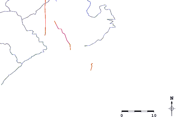
| Contours: | Roads & Rivers: | Select a
tide station / surf break / city |
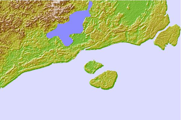
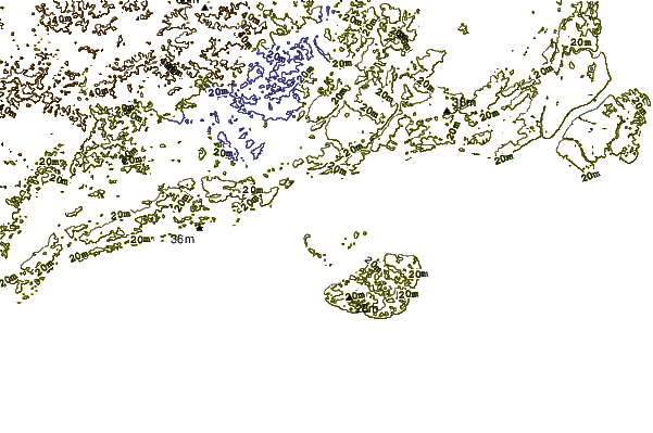
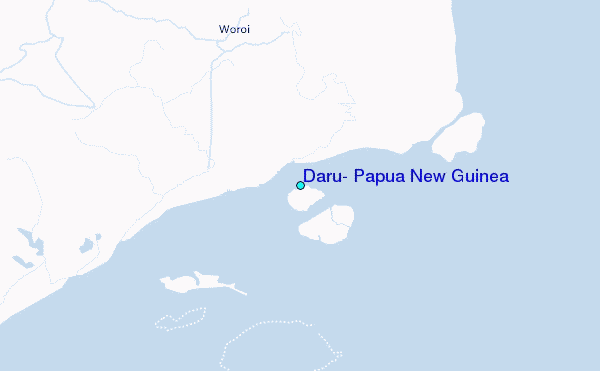
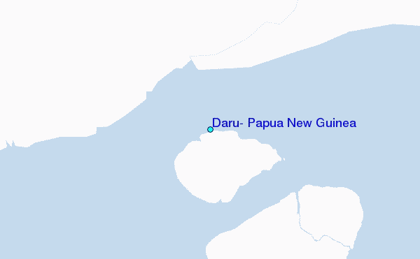
Use this relief map to navigate to tide stations, surf breaks and cities that are in the area of Daru, Papua New Guinea.
Other Nearby Locations' tide tables and tide charts to Daru, Papua New Guinea:
click location name for more details
 Surf breaks close to Daru, Papua New Guinea:
|
||
|---|---|---|
| Closest surf break | Tupira Right | 354 mi |
| Second closest surf break | Forok Point | 378 mi |
| Third closest surf break | The Wharf (Mission Point) | 382 mi |
| Fourth closest surf break | Moem Point | 383 mi |
| Fifth closest surf break | Wewak Point | 383 mi |


 Nearest
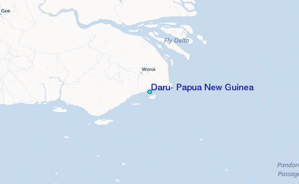