
| Distance / Altitude | Location | Report Date / Time | Live Weather | Wind | Gusts | Temp. | Visibility | Cloud |
|---|---|---|---|---|---|---|---|---|
| 0 km WSW / 3 m | BUOY-DPHA1 (Marine) | 2026-03-09 19:00 local (2026/03/10 00:00 GMT) | - (11 km/h at -) | 22°C | - | |||
| 0 km WSW / 3 m | BUOY-DILA1 (Marine) | 2026-03-09 19:48 local (2026/03/10 00:48 GMT) | light winds from the SSE (18 km/h at 160) | 22°C | - | |||
| 8 km ESE / 3 m | BUOY-FRMA1 (Marine) | 2026-03-09 19:48 local (2026/03/10 00:48 GMT) | light winds from the SSE (9 km/h at 160) | 22°C | 8.0 | |||
| 21 km NNE / 3 m | BUOY-EFLA1 (Marine) | 2026-03-09 19:48 local (2026/03/10 00:48 GMT) | - (- km/h at -) | 23°C | 10.9 | |||
| 22 km SSW / 3 m | BUOY-42357 (Marine) | 2026-03-09 18:55 local (2026/03/09 23:55 GMT) | - (- km/h at -) | — | - | |||
| 30 km NE / 28 m | Fairhope Airport (Alabama) (Alabama) | 2026-03-09 19:35 local (2026/03/10 00:35 GMT) | Dry and cloudy | light winds from the S.(Wind varies from 150 to 230 degs) (13 km/h at 170) | 22°C | 16 | overcast | |
| 30 km NE / 3 m | BUOY-WKXA1 (Marine) | 2026-03-09 18:45 local (2026/03/09 23:45 GMT) | calm (4 km/h at 150) | 23°C | - | |||
| 31 km N / 3 m | BUOY-MBPA1 (Marine) | 2026-03-09 19:48 local (2026/03/10 00:48 GMT) | - (- km/h at -) | 23°C | 10.9 | |||
| 33 km NE / 43 m | Eastern Shore Mobile Home Village wx (United States) | 2026-03-09 18:47 local (2026/03/09 23:47 GMT) | dry | calm (2 km/h at 175) | 22°C | - | - - 0 | |
| 35 km W / 3 m | BUOY-GDXM6 (Marine) | 2026-03-09 18:45 local (2026/03/09 23:45 GMT) | moderate winds from the SSE (22 km/h at 150) | 23°C | - |
| Contours: | Roads & Rivers: | Select a
tide station / surf break / city |
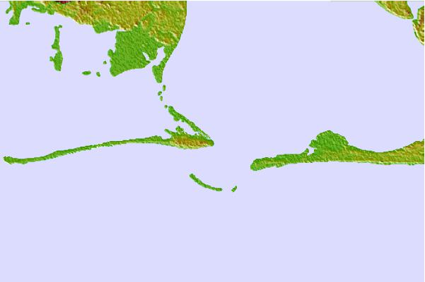

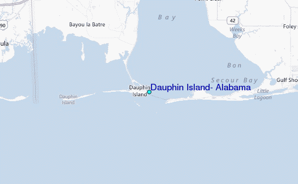
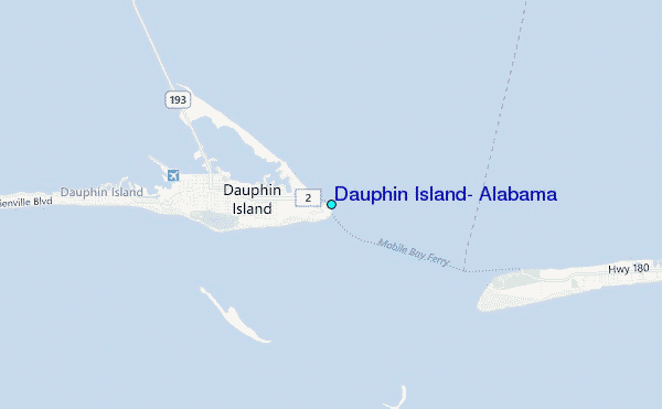
Use this relief map to navigate to tide stations, surf breaks and cities that are in the area of Dauphin Island, Alabama.
Other Nearby Locations' tide tables and tide charts to Dauphin Island, Alabama:
click location name for more details
 Surf breaks close to Dauphin Island, Alabama:
|
||
|---|---|---|
| Closest surf break | Dauphin Island Pier | 0 mi |
| Second closest surf break | West Pass | 20 mi |
| Third closest surf break | Terry s Cove | 30 mi |
| Fourth closest surf break | Alabama Point | 31 mi |
| Fifth closest surf break | Spuds | 32 mi |


 Nearest
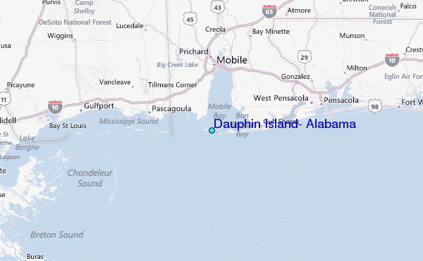