
| Distance / Altitude | Location | Report Date / Time | Live Weather | Wind | Gusts | Temp. | Visibility | Cloud |
|---|---|---|---|---|---|---|---|---|
| 1 km S / 3 m | Wilbur-by-the-Sea wx (United States) | 2026-06-03 11:17 local (2026/06/03 15:17 GMT) | dry | light winds from the E (13 km/h at 88) | 26°C | - | - - 0 | |
| 11 km W / 11 m | Daytona Beach (Florida) | 2026-06-03 11:35 local (2026/06/03 15:35 GMT) | dry | moderate winds from the ENE (27 km/h at 69) | 27°C | - | - - 0 | |
| 11 km SSE / 450 m | New Smyrna Beach Municipal Airport (FL) (United States) | 2026-06-03 10:47 local (2026/06/03 14:47 GMT) | Dry and partly cloudy | moderate winds from the ENE (28 km/h at 70) | 27°C | 16 | broken | |
| 11 km W / 13 m | Daytona Beach (Florida) | 2026-06-03 12:02 local (2026/06/03 16:02 GMT) | dry | calm (0 km/h at 48) | 27°C | - | - - 0 | |
| 11 km W / 219 m | Daytona Beach Airport (Florida) | 2026-06-03 10:53 local (2026/06/03 14:53 GMT) | Dry and partly cloudy | fresh winds from the NE (31 km/h at 40) | 27°C | 16 | few scattered | |
| 12 km W / 58 m | Daytona Beach (Florida) | 2026-06-03 11:03 local (2026/06/03 15:03 GMT) | dry | wind obs. (10 kph from 359 degs) was rejected (- km/h at -) | 27°C | - | - - 0 | |
| 22 km NE / 3 m | BUOY-41069 (Marine) | 2026-06-03 11:08 local (2026/06/03 15:08 GMT) | fresh winds from the ENE (32 km/h at 70) | 25°C | - | |||
| 22 km NE / 3 m | BUOY-41070 (Marine) | 2026-06-03 11:03 local (2026/06/03 15:03 GMT) | - (- km/h at -) | — | - | |||
| 23 km WNW / 164 m | Ormand Beach Airport (Florida) | 2026-06-03 10:50 local (2026/06/03 14:50 GMT) | Dry and partly cloudy | moderate winds from the ENE (22 km/h at 60) | 26°C | 11 | scattered | |
| 32 km SW / 24 m | Deland Airport (Florida) (Florida) | 2026-06-03 11:30 local (2026/06/03 15:30 GMT) | Dry and partly cloudy | moderate winds from the NE (26 km/h at 40) | 27°C | 16 | broken broken |
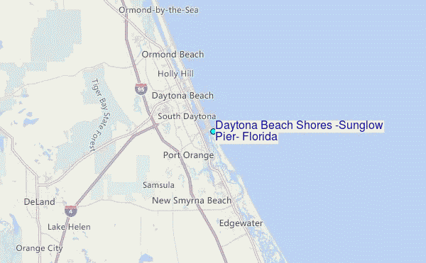
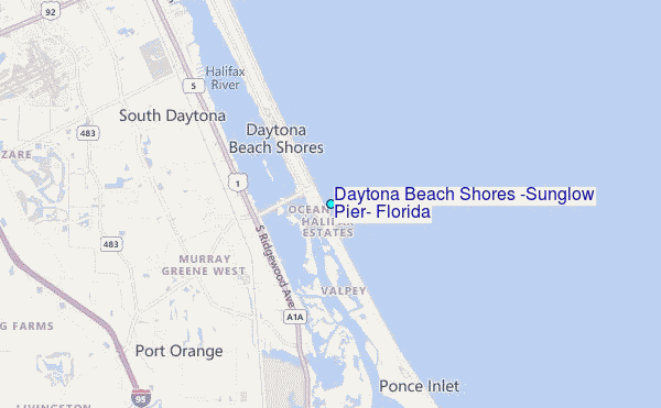
Choose Daytona Beach Shores (Sunglow Pier), Florida Location Map Zoom:
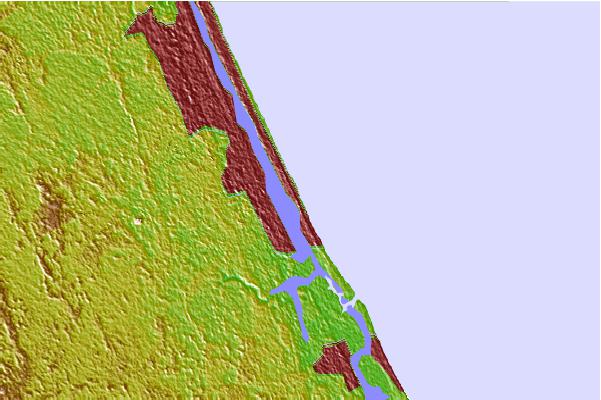
| Contours: | Roads & Rivers: | Select a
tide station / surf break / city |

Use this relief map to navigate to tide stations, surf breaks and cities that are in the area of Daytona Beach Shores (Sunglow Pier), Florida.
Other Nearby Locations' tide tables and tide charts to Daytona Beach Shores (Sunglow Pier), Florida:
click location name for more details
 Surf breaks close to Daytona Beach Shores (Sunglow Pier), Florida:
|
||
|---|---|---|
| Closest surf break | Main Street Pier | 1 mi |
| Second closest surf break | Daytona Beach | 2 mi |
| Third closest surf break | Sunglow Pier | 3 mi |
| Fourth closest surf break | Ormond Beach Pier | 5 mi |
| Fifth closest surf break | Pon. Inlet | 6 mi |


 Nearest
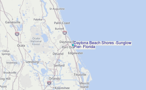