
| Distance / Altitude | Location | Report Date / Time | Live Weather | Wind | Gusts | Temp. | Visibility | Cloud |
|---|---|---|---|---|---|---|---|---|
| 6 km SW / 10 m | Twins Bredene (Belgium) | 2025-12-25 09:00 local (2025/12/25 08:00 GMT) | - | near gales from the ENE (56 km/h at 70) | -2°C | - | - - 0 | |
| 7 km SSW / 4 m | 1051 (Belgium) | 2025-12-25 09:00 local (2025/12/25 08:00 GMT) | - | light winds from the NE (15 km/h at 41) | -1°C | - | - - 0 | |
| 14 km SW / 220 m | Oostende Airport (Belgium) | 2025-12-25 09:00 local (2025/12/25 08:00 GMT) | - | fresh winds from the ENE (37 km/h at 60) | — | 0.0 | - few - | |
| 15 km NE / 9 m | Zeebrugge (Belgium) | 2025-12-25 09:00 local (2025/12/25 08:00 GMT) | - | strong winds from the ENE (40 km/h at 60) | 0°C | - | no observation | |
| 27 km ENE / 2 m | Cadzand (Netherlands) | 2025-12-25 09:00 local (2025/12/25 08:00 GMT) | no report | wind obs. (18 kph from 20 degs) was rejected (- km/h at -) | — | - | - | |
| 30 km NNE / 2 m | Vlakte Van de Raan (Netherlands) | 2025-12-25 07:00 local (2025/12/25 06:00 GMT) | no report | wind obs. (25 kph from 30 degs) was rejected (- km/h at -) | — | - | - - - | |
| 36 km SSW / 217 m | Koksijde Airport (Belgium) | 2025-12-25 09:00 local (2025/12/25 08:00 GMT) | Dry and partly cloudy | fresh winds from the ENE (31 km/h at 60) | -2°C | 10.0 | no cloud no observation - | |
| 41 km S / 25 m | Beitem (Belgium) | 2025-12-25 07:00 local (2025/12/25 06:00 GMT) | - | light winds from the NNE (11 km/h at 30) | — | - | - | |
| 44 km ENE / 10 m | Vlissingen Aws (Netherlands) | 2025-12-25 09:00 local (2025/12/25 08:00 GMT) | State of sky unchanged | strong winds from the ENE (40 km/h at 60) | -2°C | 45 km | - clear - | |
| 47 km ENE / 3 m | SHIP8296 (Marine) | 2025-12-25 07:00 local (2025/12/25 06:00 GMT) | - (- km/h at -) | — | - |
| Contours: | Roads & Rivers: | Select a
tide station / surf break / city |
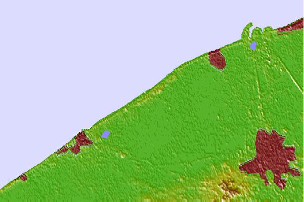

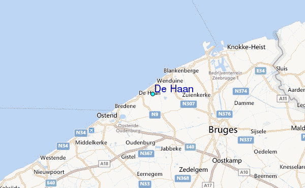
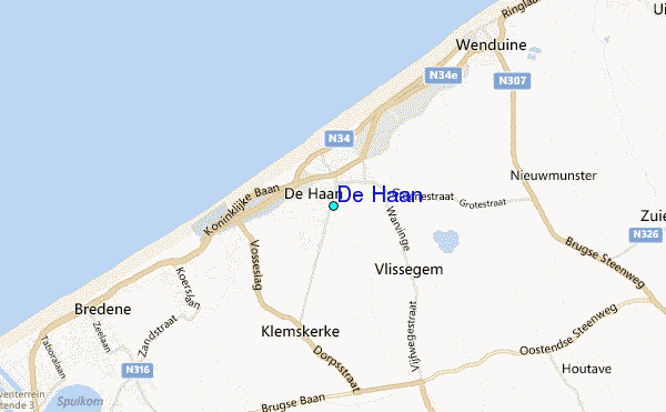
Use this relief map to navigate to tide stations, surf breaks and cities that are in the area of De Haan.
Other Nearby Locations' tide tables and tide charts to De Haan:
click location name for more details
 Surf breaks close to De Haan:
|
||
|---|---|---|
| Closest surf break | Den Haan | 1 mi |
| Second closest surf break | Oostende | 5 mi |
| Third closest surf break | Blankenberge | 6 mi |
| Fourth closest surf break | Ollies Point | 7 mi |
| Fifth closest surf break | Middelkerke | 8 mi |


 Nearest
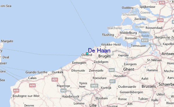