
| Distance / Altitude | Location | Report Date / Time | Live Weather | Wind | Gusts | Temp. | Visibility | Cloud |
|---|---|---|---|---|---|---|---|---|
| 112 km WSW / 6 m | AdeleIsland (Australia) | 2024-04-27 02:00 local (2024/04/26 18:00 GMT) | no report | light winds from the NNE (9 km/h at 30) | 29°C | - | - no observation - | |
| 160 km S / 7 m | YampiSound(Defence) (Australia) | 2024-04-27 02:00 local (2024/04/26 18:00 GMT) | no report | calm (4 km/h at 210) | 28°C | - | - no observation - | |
| 232 km S / 7 m | Derby Airport (Australia) | 2024-04-27 02:00 local (2024/04/26 18:00 GMT) | - | light winds from the SSW (9 km/h at 200) | 26°C | - | no observation | |
| 251 km S / 78 m | Curtin/Derby Airport (Australia) | 2024-04-27 02:00 local (2024/04/26 18:00 GMT) | Dry and partly cloudy | light winds from the E (19 km/h at 90) | 27°C | - | no cloud - - | |
| 251 km S / 78 m | Curtin (Australia) | 2024-04-27 01:30 local (2024/04/26 17:30 GMT) | no report | light winds from the E (19 km/h at 100) | 27°C | - | - |
| Contours: | Roads & Rivers: | Select a
tide station / surf break / city |
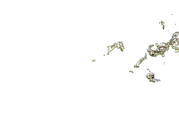
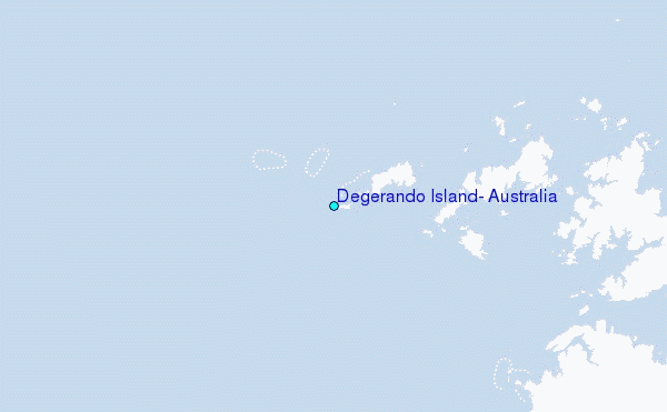
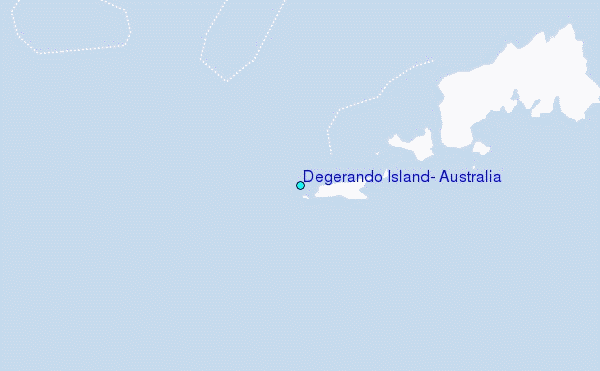
Use this relief map to navigate to tide stations, surf breaks and cities that are in the area of Degerando Island, Australia.
Other Nearby Locations' tide tables and tide charts to Degerando Island, Australia:
click location name for more details
 Surf breaks close to Degerando Island, Australia:
|
||
|---|---|---|
| Closest surf break | Cable Beach (Broome) | 220 mi |
| Second closest surf break | Gantheaume Point (Broome) | 226 mi |
| Third closest surf break | Ndana | 315 mi |
| Fourth closest surf break | Boa | 317 mi |
| Fifth closest surf break | Peanuts | 318 mi |

 Nearest
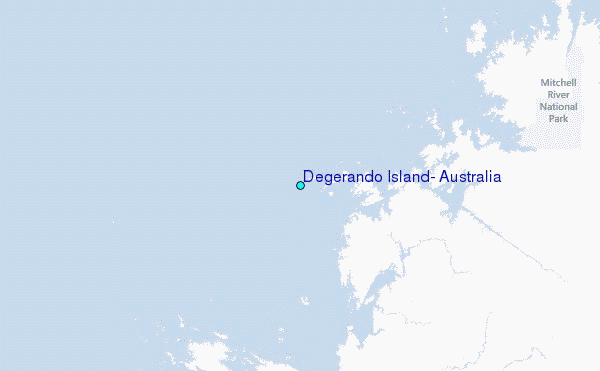