
| Distance / Altitude | Location | Report Date / Time | Live Weather | Wind | Gusts | Temp. | Visibility | Cloud |
|---|---|---|---|---|---|---|---|---|
| 20 km S / 3 m | BUOY-SBEO3 (Marine) | 2026-05-28 08:30 local (2026/05/28 15:30 GMT) | - (- km/h at -) | — | - | |||
| 22 km S / 3 m | BUOY-NWPO3 (Marine) | 2026-05-28 09:00 local (2026/05/28 16:00 GMT) | light winds from the NNW (11 km/h at 340) | 11°C | - | |||
| 27 km SSW / 3 m | BUOY-46097 (Marine) | 2026-05-28 07:50 local (2026/05/28 14:50 GMT) | calm (4 km/h at 20) | 11°C | - | |||
| 27 km S / 219 m | Newport Airport (Oregon) | 2026-05-28 08:35 local (2026/05/28 15:35 GMT) | Mist - | light winds from the NW (7 km/h at 320) | 11°C | 5 | overcast | |
| 30 km S / 3 m | BUOY-46283 (Marine) | 2026-05-28 08:26 local (2026/05/28 15:26 GMT) | - (- km/h at -) | — | - | |||
| 37 km SW / - m | SHIP810 (ocean) | 2026-05-28 07:00 local (2026/05/28 14:00 GMT) | - | light winds from the N (18 km/h at 10) | — | - | no observation | |
| 37 km SW / - m | SHIP1190 (ocean) | 2026-05-28 09:00 local (2026/05/28 16:00 GMT) | - | light winds from the N (14 km/h at 360) | — | - | no observation | |
| 37 km SW / - m | SHIP362 (ocean) | 2026-05-28 07:00 local (2026/05/28 14:00 GMT) | - | light winds from the N (18 km/h at 360) | — | - | no observation | |
| 37 km SW / - m | SHIP270 (ocean) | 2026-05-28 08:00 local (2026/05/28 15:00 GMT) | - | light winds from the N (14 km/h at 360) | — | - | no observation | |
| 37 km SW / - m | SHIP802 (ocean) | 2026-05-28 08:00 local (2026/05/28 15:00 GMT) | - | light winds from the N (14 km/h at 360) | — | - | no observation |
| Contours: | Roads & Rivers: | Select a
tide station / surf break / city |
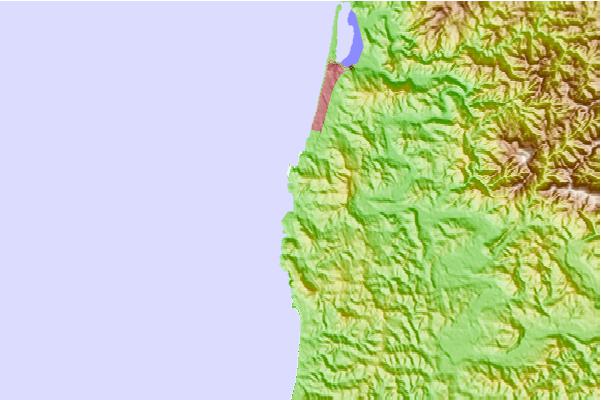
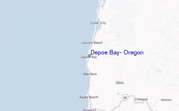
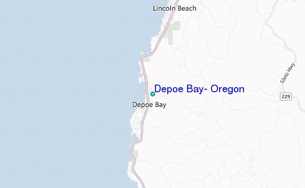
Use this relief map to navigate to tide stations, surf breaks and cities that are in the area of Depoe Bay, Oregon.
Other Nearby Locations' tide tables and tide charts to Depoe Bay, Oregon:
click location name for more details
 Surf breaks close to Depoe Bay, Oregon:
|
||
|---|---|---|
| Closest surf break | Boiler Bay | 2 mi |
| Second closest surf break | Otter Rock | 4 mi |
| Third closest surf break | Devil s Punch Beverly Beach | 5 mi |
| Fourth closest surf break | Gleneden Beach | 6 mi |
| Fifth closest surf break | Taft (Siltetz River) | 8 mi |


 Nearest
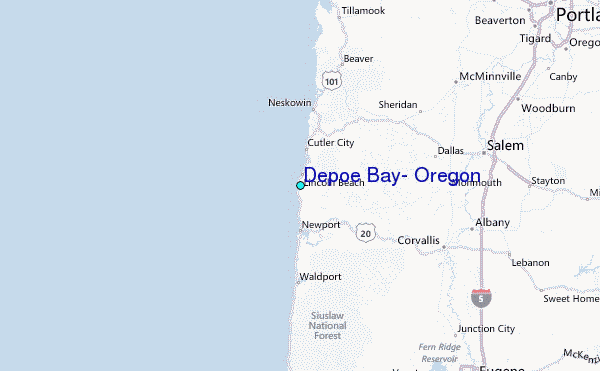