
| Distance / Altitude | Location | Report Date / Time | Live Weather | Wind | Gusts | Temp. | Visibility | Cloud |
|---|---|---|---|---|---|---|---|---|
| 64 km SW / 11 m | RoebourneAero (Australia) | 2025-12-25 19:00 local (2025/12/25 11:00 GMT) | - | fresh winds from the W (30 km/h at 280) | 35°C | - | no observation | |
| 95 km ENE / 218 m | Port Hedland International Airport (Australia) | 2025-12-25 19:30 local (2025/12/25 11:30 GMT) | Dry and partly cloudy | moderate winds from the WNW (20 km/h at 300) | 32°C | 10.0 | no cloud | |
| 96 km ENE / 8 m | PortHedlandAirport (Australia) | 2025-12-25 19:00 local (2025/12/25 11:00 GMT) | Clear skies | moderate winds from the WNW (24 km/h at 300) | 32°C | - | - no observation - | |
| 99 km W / 30 m | Legendre Island (Australia) | 2025-12-25 19:00 local (2025/12/25 11:00 GMT) | no report | moderate winds from the WSW (26 km/h at 250) | 30°C | - | - no observation - | |
| 102 km WSW / 6 m | KarrathaAero (Australia) | 2025-12-25 19:00 local (2025/12/25 11:00 GMT) | Clear skies | fresh winds from the W (37 km/h at 270) | 32°C | - | - no observation - | |
| 181 km NE / 10 m | BedoutIsland (Australia) | 2025-12-25 19:00 local (2025/12/25 11:00 GMT) | No report | moderate winds from the W (24 km/h at 280) | 30°C | - | - no observation - | |
| 196 km SW / 240 m | Mardie (Australia) | 2025-12-25 19:00 local (2025/12/25 11:00 GMT) | - | moderate winds from the W (26 km/h at 280) | 33°C | - | no observation | |
| 200 km SSE / 559 m | KarijiniNorth (Australia) | 2025-12-25 19:00 local (2025/12/25 11:00 GMT) | - | wind obs. (7 kph from 90 degs) was rejected (- km/h at -) | 38°C | - | no observation | |
| 217 km ESE / 239 m | Marble Bar (Australia) | 2025-12-25 19:00 local (2025/12/25 11:00 GMT) | - | wind obs. (7 kph from 150 degs) was rejected (- km/h at -) | 37°C | - | - no observation - | |
| 228 km WSW / 224 m | Varanus Island (Australia) | 2025-12-25 19:00 local (2025/12/25 11:00 GMT) | - | strong winds from the W (43 km/h at 270) | 29°C | - | no observation |
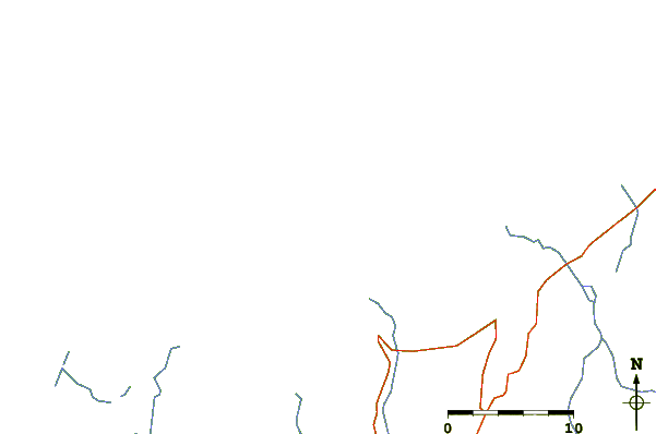
| Contours: | Roads & Rivers: | Select a
tide station / surf break / city |
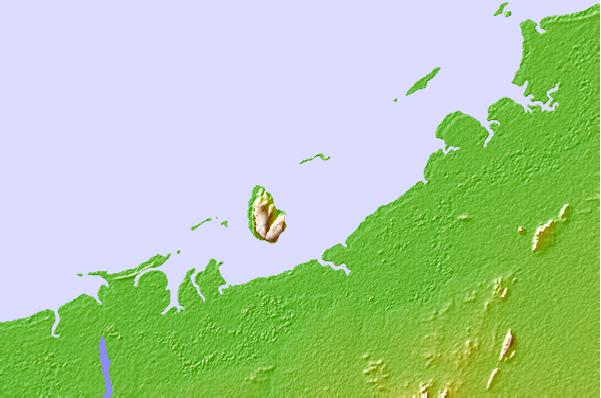
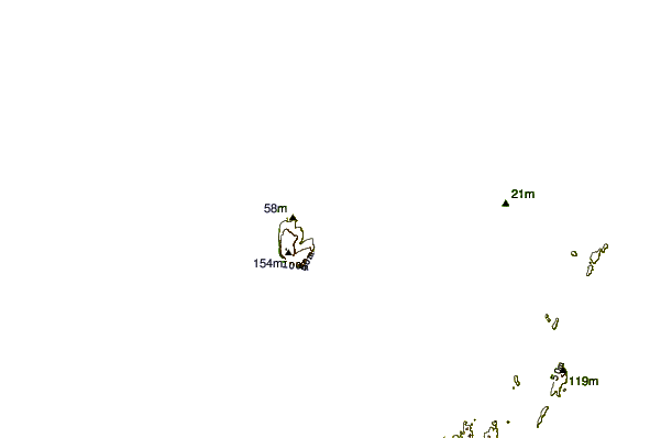
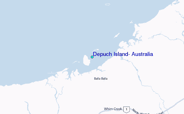
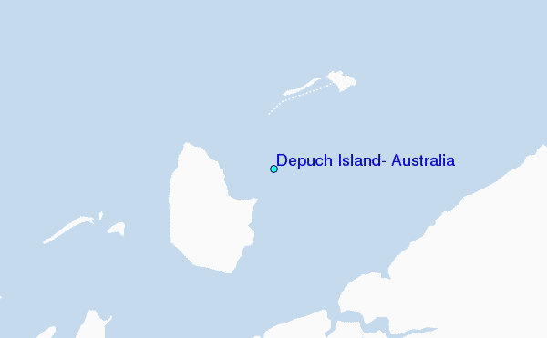
Use this relief map to navigate to tide stations, surf breaks and cities that are in the area of Depuch Island, Australia.
Other Nearby Locations' tide tables and tide charts to Depuch Island, Australia:
click location name for more details
 Surf breaks close to Depuch Island, Australia:
|
||
|---|---|---|
| Closest surf break | Dunes | 247 mi |
| Second closest surf break | Lighthouse Bombie | 256 mi |
| Third closest surf break | Gantheaume Point (Broome) | 342 mi |
| Fourth closest surf break | Gnaraloo | 346 mi |
| Fifth closest surf break | Cable Beach (Broome) | 347 mi |


 Nearest
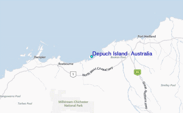