
| Distance / Altitude | Location | Report Date / Time | Live Weather | Wind | Gusts | Temp. | Visibility | Cloud |
|---|---|---|---|---|---|---|---|---|
| 21 km WSW / 3 m | BUOY-PILL1 (Marine) | 2025-12-25 15:00 local (2025/12/25 21:00 GMT) | light winds from the SSW (9 km/h at 210) | 20°C | - | |||
| 46 km SSW / 3 m | BUOY-PSTL1 (Marine) | 2025-12-25 15:00 local (2025/12/25 21:00 GMT) | light winds from the E (11 km/h at 80) | 22°C | - | |||
| 49 km SSW / 3 m | BUOY-BURL1 (Marine) | 2025-12-25 15:00 local (2025/12/25 21:00 GMT) | light winds from the E (11 km/h at 90) | 21°C | - | |||
| 58 km NE / 3 m | BUOY-42354 (Marine) | 2025-12-25 15:26 local (2025/12/25 21:26 GMT) | - (- km/h at -) | — | - | |||
| 63 km SW / 3 m | BUOY-42084 (Marine) | 2025-12-25 15:00 local (2025/12/25 21:00 GMT) | - (- km/h at -) | 22°C | - | |||
| 65 km S / 40 m | South Pass 89e (Louisiana) (Louisiana) | 2025-12-25 14:35 local (2025/12/25 20:35 GMT) | Haze - | light winds from the SSE (11 km/h at 160) | 24°C | 6 | few | |
| 78 km E / 3 m | BUOY-42040 (Marine) | 2025-12-25 15:20 local (2025/12/25 21:20 GMT) | light winds from the N (7 km/h at 10) | — | - | |||
| 82 km E / - m | SHIP1416 (ocean) | 2025-12-25 14:00 local (2025/12/25 20:00 GMT) | - | light winds from the NNE (11 km/h at 20) | — | - | no observation | |
| 82 km E / - m | SHIP70 (ocean) | 2025-12-25 15:00 local (2025/12/25 21:00 GMT) | - | light winds from the N (7 km/h at 10) | — | - | no observation | |
| 82 km E / - m | SHIP1427 (ocean) | 2025-12-25 14:00 local (2025/12/25 20:00 GMT) | - | light winds from the NNE (7 km/h at 20) | — | - | no observation |
| Contours: | Roads & Rivers: | Select a
tide station / surf break / city |
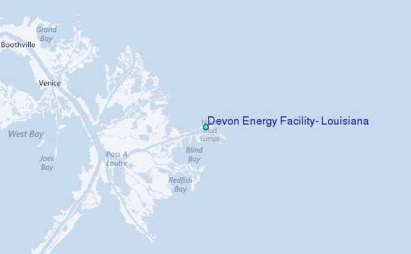
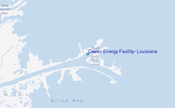
Use this relief map to navigate to tide stations, surf breaks and cities that are in the area of Devon Energy Facility, Louisiana.
Other Nearby Locations' tide tables and tide charts to Devon Energy Facility, Louisiana:
click location name for more details
 Surf breaks close to Devon Energy Facility, Louisiana:
|
||
|---|---|---|
| Closest surf break | Chandeleur Islands | 47 mi |
| Second closest surf break | Dauphin Island Pier | 93 mi |
| Third closest surf break | West Pass | 106 mi |
| Fourth closest surf break | Terry s Cove | 115 mi |
| Fifth closest surf break | Alabama Point | 116 mi |


 Nearest
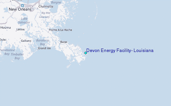