
| Distance / Altitude | Location | Report Date / Time | Live Weather | Wind | Gusts | Temp. | Visibility | Cloud |
|---|---|---|---|---|---|---|---|---|
| 7 km S / 294 m | Diego-Suárez/Arrachart Airport (Comoros) | 2025-12-25 10:00 local (2025/12/25 07:00 GMT) | Dry and partly cloudy | moderate winds from the SE (22 km/h at 140) | 29°C | 10.0 | scattered | |
| 157 km SSW / 113 m | Nosy Be/Fascene Airport (Comoros) | 2025-12-25 10:00 local (2025/12/25 07:00 GMT) | - | wind obs. (7 kph from 40 degs) was rejected (- km/h at -) | 31°C | 10.0 | few | |
| 230 km W / 4 m | Iles Glorieuses (France) | 2025-12-25 11:00 local (2025/12/25 08:00 GMT) | no report | light winds from the ESE (11 km/h at 110) | 30°C | - | - | |
| 440 km WSW / 411 m | Dzaoudzi/Pamanzi Airport (Comoros) | 2025-12-25 10:30 local (2025/12/25 07:30 GMT) | - | moderate winds from the NNE.(Wind varies from 350 to 060 degs) (24 km/h at 20) | 31°C | 10.0 | few | |
| 492 km SSW / 194 m | Majunga/Mahajanga Airport (Comoros) | 2025-12-25 10:00 local (2025/12/25 07:00 GMT) | - | light winds from the N (6 km/h at 1) | 31°C | 10.0 | few | |
| 534 km S / 76 m | Sainte-Marie Airport (Comoros) | 2025-12-25 09:00 local (2025/12/25 06:00 GMT) | Dry and partly cloudy | light winds from the S (7 km/h at 190) | 28°C | 10.0 | broken | |
| 640 km SSW / 15 m | ASCATC45E16S (Marine) | 2025-12-25 08:58 local (2025/12/25 05:58 GMT) | moderate winds from the NNE (27 km/h at 28) | — | - km | |||
| 647 km S / 195 m | Tamatave/Toamasina Airport (Comoros) | 2025-12-25 10:00 local (2025/12/25 07:00 GMT) | Dry and partly cloudy | light winds from the ESE.(Wind varies from 090 to 150 degs) (11 km/h at 120) | 29°C | 10.0 | scattered scattered | |
| 693 km SE / 13 m | Serge -Frolow (Ile Tromelin) (France) | 2025-12-25 11:00 local (2025/12/25 08:00 GMT) | no report | fresh winds from the ESE (32 km/h at 120) | 28°C | - | - | |
| 707 km SW / 15 m | ASCATC44E15S (Marine) | 2025-12-25 08:58 local (2025/12/25 05:58 GMT) | fresh winds from the NNE (31 km/h at 14) | — | - km |
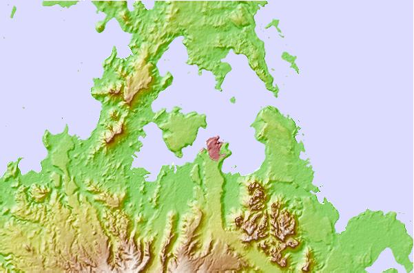
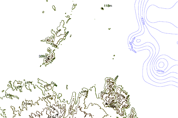
| Contours: | Roads & Rivers: | Select a
tide station / surf break / city |
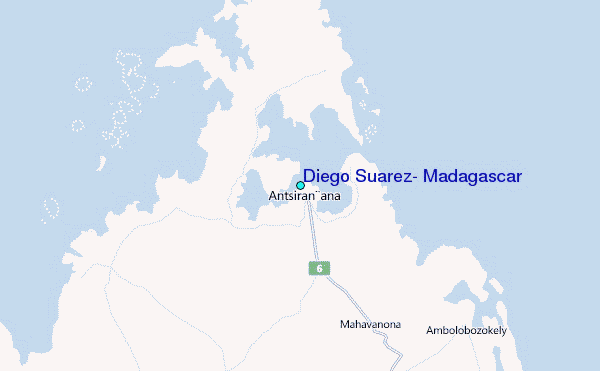
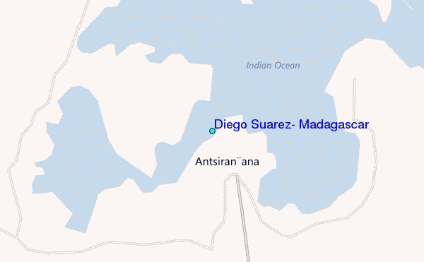
Use this relief map to navigate to tide stations, surf breaks and cities that are in the area of Diego Suarez, Madagascar.
Other Nearby Locations' tide tables and tide charts to Diego Suarez, Madagascar:
click location name for more details
 Surf breaks close to Diego Suarez, Madagascar:
|
||
|---|---|---|
| Closest surf break | Coevity Island The Handle | 591 mi |
| Second closest surf break | Coevity Island Runway Ledge | 595 mi |
| Third closest surf break | Coevity Island Cocktails | 597 mi |
| Fourth closest surf break | Anse Intendance | 669 mi |
| Fifth closest surf break | Police Bay | 669 mi |


 Nearest
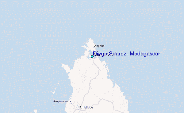