
| Distance / Altitude | Location | Report Date / Time | Live Weather | Wind | Gusts | Temp. | Visibility | Cloud |
|---|---|---|---|---|---|---|---|---|
| 274 km SSW / 108 m | KupangEltari (Indonesia) | 2026-04-07 09:30 local (2026/04/07 00:30 GMT) | Dry and partly cloudy | light winds from the SE (9 km/h at 130) | 30°C | 10.0 | scattered scattered - | |
| 575 km S / 415 m | Troughton Island (Australia) | 2026-04-07 10:00 local (2026/04/07 01:00 GMT) | no report | wind obs. (15 kph from 40 degs) was rejected (- km/h at -) | 26°C | - | - no observation - | |
| 601 km SE / 8 m | Point Fawcett (Australia) | 2026-04-07 10:00 local (2026/04/07 01:00 GMT) | no report | light winds from the N (6 km/h at 360) | 31°C | - | - no observation - | |
| 606 km NNE / 12 m | Ambon-Pattimura (Indonesia) | 2026-04-07 09:30 local (2026/04/07 00:30 GMT) | Dry and partly cloudy | wind obs. (9 kph from 150 degs) was rejected (- km/h at -) | 30°C | 10.0 | few scattered | |
| 614 km NNE / 99 m | Kebon Cengkeh wx (Indonesia) | 2026-04-07 09:43 local (2026/04/07 00:43 GMT) | - | calm (0 km/h at 0) | — | - | - - 0 | |
| 615 km NNE / 1 m | Leahari wx (Indonesia) | 2026-04-07 09:20 local (2026/04/07 00:20 GMT) | - | - (- km/h at ) | 33°C | - | - - 0 | |
| 616 km S / 52 m | Truscott (Australia) | 2026-04-07 10:00 local (2026/04/07 01:00 GMT) | Clear skies | light winds from the SE (9 km/h at 130) | 32°C | - | - no observation - | |
| 616 km ESE / 19 m | Pirlangimpi (Australia) | 2026-04-07 09:00 local (2026/04/07 00:00 GMT) | no report | light winds from the ENE (6 km/h at 60) | 25°C | - | - | |
| 643 km S / 155 m | Kalumburu (Australia) | 2026-04-07 09:00 local (2026/04/07 00:00 GMT) | no report | - (- km/h at -) | 23°C | - | - | |
| 690 km SE / 4 m | DumINMirrie Aws (Australia) | 2026-04-07 10:00 local (2026/04/07 01:00 GMT) | - | calm (2 km/h at 50) | 30°C | - | no observation |
| Contours: | Roads & Rivers: | Select a
tide station / surf break / city |
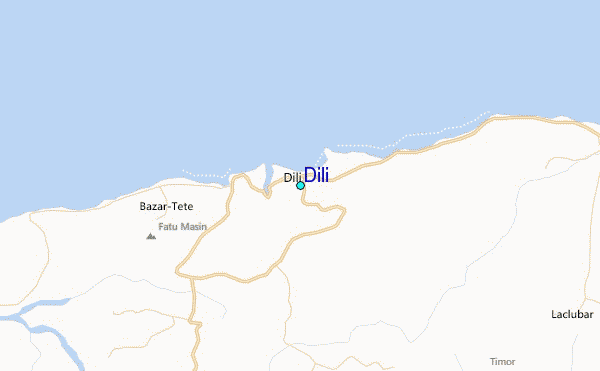
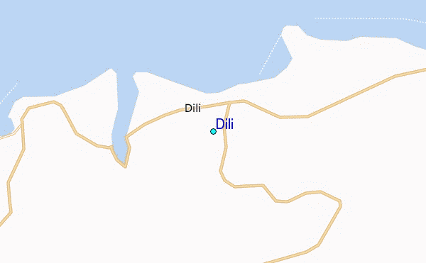
Use this relief map to navigate to tide stations, surf breaks and cities that are in the area of Dili.
Other Nearby Locations' tide tables and tide charts to Dili:
click location name for more details
 Surf breaks close to Dili:
|
||
|---|---|---|
| Closest surf break | Digger | 58 mi |
| Second closest surf break | Nembrala | 140 mi |
| Third closest surf break | Boa | 247 mi |
| Fourth closest surf break | Do'o | 247 mi |
| Fifth closest surf break | T-Land | 247 mi |


 Nearest
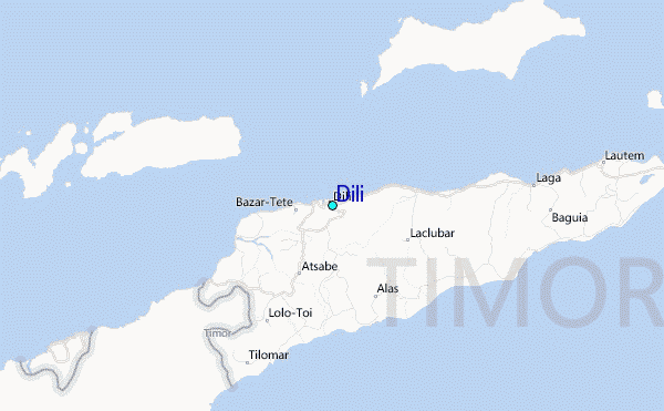