
| Distance / Altitude | Location | Report Date / Time | Live Weather | Wind | Gusts | Temp. | Visibility | Cloud |
|---|---|---|---|---|---|---|---|---|
| 3 km ESE / 1003 m | thunderstorm affecting Cattaro (Serbia and Montenegro) | 2025-12-24 11:45 local (2025/12/24 10:45 GMT) | Thunderstorm | (- km/h at -) | — | |||
| 5 km ESE / 856 m | Njeguai (Montenegro) | 2025-12-24 11:19 local (2025/12/24 10:19 GMT) | dry | calm (5 km/h at 90) | 7°C | - | - - 0 | |
| 6 km NE / 927 m | lightning 6km NNE of Dobrota (Serbia and Montenegro) | 2025-12-24 11:46 local (2025/12/24 10:46 GMT) | Thunderstorm | (- km/h at -) | — | |||
| 7 km SW / 0 m | thunderstorm affecting Tivat (Serbia and Montenegro) | 2025-12-24 10:48 local (2025/12/24 09:48 GMT) | Thunderstorm | (- km/h at -) | — | |||
| 7 km S / 214 m | Tivat (Yugoslavia (former)) | 2025-12-24 11:00 local (2025/12/24 10:00 GMT) | - | calm (4 km/h at 280) | — | 20 | - | |
| 8 km SW / 0 m | thunderstorm affecting Bijela (Serbia and Montenegro) | 2025-12-24 10:48 local (2025/12/24 09:48 GMT) | Thunderstorm | (- km/h at -) | — | |||
| 9 km S / 216 m | Tivat Airport (Yugoslavia) | 2025-12-24 10:30 local (2025/12/24 09:30 GMT) | Thunderstorm - in the vicinity | light winds from the SE.(Wind varies from 080 to 190 degs) (9 km/h at 140) | 14°C | 10.0 | few scattered | |
| 18 km NW / 701 m | lightning 10km N of Risan (Serbia and Montenegro) | 2025-12-24 11:48 local (2025/12/24 10:48 GMT) | Thunderstorm | (- km/h at -) | — | |||
| 19 km SE / 888 m | lightning 7km S of Cetinje (Serbia and Montenegro) | 2025-12-24 11:46 local (2025/12/24 10:46 GMT) | Thunderstorm | (- km/h at -) | — | |||
| 21 km W / 1152 m | lightning 8km N of Herceg-Novi (Serbia and Montenegro) | 2025-12-24 10:31 local (2025/12/24 09:31 GMT) | Thunderstorm | (- km/h at -) | — |
| Contours: | Roads & Rivers: | Select a
tide station / surf break / city |
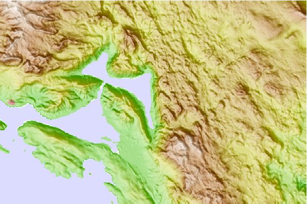
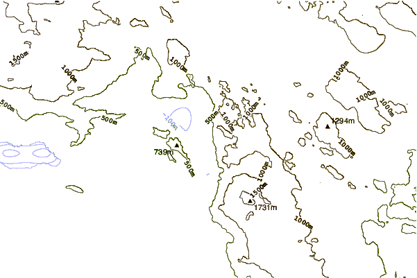
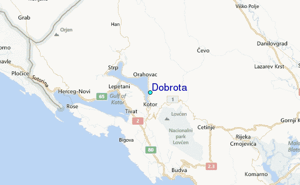
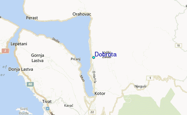
Use this relief map to navigate to tide stations, surf breaks and cities that are in the area of Dobrota.
Other Nearby Locations' tide tables and tide charts to Dobrota:
click location name for more details
 Surf breaks close to Dobrota:
|
||
|---|---|---|
| Closest surf break | Bishtpala Outer Reef | 80 mi |
| Second closest surf break | Iliria | 88 mi |
| Third closest surf break | Capo Vieste | 140 mi |
| Fourth closest surf break | Li Marangi (San Foca) | 150 mi |
| Fifth closest surf break | Curvone | 162 mi |


 Nearest
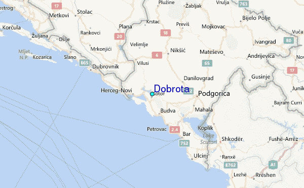