
| Distance / Altitude | Location | Report Date / Time | Live Weather | Wind | Gusts | Temp. | Visibility | Cloud |
|---|---|---|---|---|---|---|---|---|
| 5 km S / 3 m | BUOY-VAKF1 (Marine) | 2026-05-12 10:00 local (2026/05/12 14:00 GMT) | light winds from the SSE (13 km/h at 160) | 28°C | - | |||
| 8 km SW / 33 m | Coconut Grove (Florida) | 2026-05-12 10:16 local (2026/05/12 14:16 GMT) | dry | wind obs. (6 kph from 102 degs) was rejected (- km/h at -) | 30°C | - | - - 0 | |
| 8 km NNE / 6 m | Miami Beach (Florida) | 2026-05-12 10:41 local (2026/05/12 14:41 GMT) | dry | calm (5 km/h at 175) | 30°C | - | - - 0 | |
| 14 km N / 2 m | North Miami (Florida) | 2026-05-12 10:44 local (2026/05/12 14:44 GMT) | dry | calm (2 km/h at 222) | 31°C | - | - - 0 | |
| 14 km NW / 3 m | Golden Glades wx (United States) | 2026-05-12 10:17 local (2026/05/12 14:17 GMT) | dry | light winds from the SSE (6 km/h at 159) | 31°C | - | - - 0 | |
| 15 km WSW / 219 m | Miami Airport (Florida) | 2026-05-12 08:53 local (2026/05/12 12:53 GMT) | - | light winds from the S (11 km/h at 180) | 29°C | 16 | few few broken | |
| 15 km SW / 12 m | Coconut Grove (Florida) | 2026-05-12 10:21 local (2026/05/12 14:21 GMT) | dry | calm (3 km/h at 184) | 32°C | - | - - 0 | |
| 18 km SW / 4 m | S. Miami (Florida) | 2026-05-12 10:11 local (2026/05/12 14:11 GMT) | dry | calm (2 km/h at 202) | 32°C | - | - - 0 | |
| 18 km SSW / 6.1 m | Pinecrest (Florida) | 2026-05-12 10:31 local (2026/05/12 14:31 GMT) | dry | wind obs. (6 kph from 109 degs) was rejected (- km/h at -) | 31°C | - | - - 0 | |
| 20 km WNW / 218 m | Miami/Opa-locka Airport (Florida) | 2026-05-12 08:53 local (2026/05/12 12:53 GMT) | Clear | light winds from the S (11 km/h at 190) | 29°C | 16 |
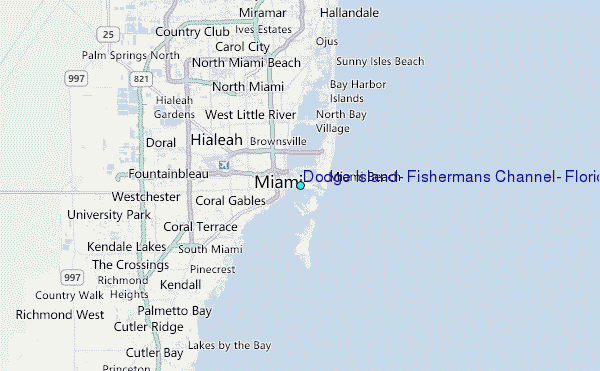
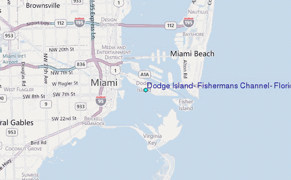
Choose Dodge Island, Fishermans Channel, Florida Location Map Zoom:
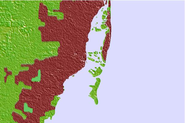
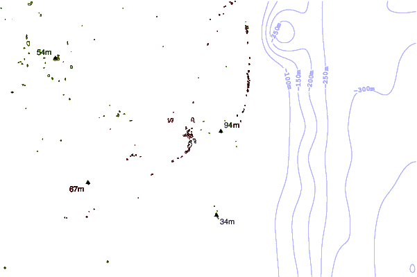
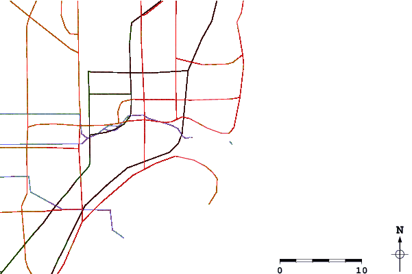
| Contours: | Roads & Rivers: | Select a
tide station / surf break / city |
Use this relief map to navigate to tide stations, surf breaks and cities that are in the area of Dodge Island, Fishermans Channel, Florida.
Other Nearby Locations' tide tables and tide charts to Dodge Island, Fishermans Channel, Florida:
click location name for more details
 Surf breaks close to Dodge Island, Fishermans Channel, Florida:
|
||
|---|---|---|
| Closest surf break | Fifth Street (Miami) | 2 mi |
| Second closest surf break | South Beach (Miami) | 2 mi |
| Third closest surf break | 21st Street (Miami) | 3 mi |
| Fourth closest surf break | Dunes Hotel (Miami) | 4 mi |
| Fifth closest surf break | Harbor House | 9 mi |


 Nearest
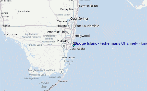