
| Distance / Altitude | Location | Report Date / Time | Live Weather | Wind | Gusts | Temp. | Visibility | Cloud |
|---|---|---|---|---|---|---|---|---|
| 9 km WSW / 44 m | Bangor (United Kingdom) | 2026-05-01 15:31 local (2026/05/01 14:31 GMT) | dry | light winds from the SSE (6 km/h at 150) | 18°C | - | - - 0 | |
| 11 km SW / 15 m | SHIP2816 (Marine) | 2026-05-01 14:00 local (2026/05/01 13:00 GMT) | - (- km/h at -) | — | - km | |||
| 22 km WSW / 477 m | Belfast Harbour Airport (United Kingdom) | 2026-05-01 14:20 local (2026/05/01 13:20 GMT) | Dry and partly cloudy | light winds from the S.(Wind varies from 130 to 220 degs) (13 km/h at 170) | 18°C | 10.0 | no cloud | |
| 11 km SW / 3 m | SHIP9827 (Marine) | 2026-05-01 14:00 local (2026/05/01 13:00 GMT) | - (- km/h at -) | 14°C | - | |||
| 11 km SW / 3 m | SHIP5475 (Marine) | 2026-05-01 14:00 local (2026/05/01 13:00 GMT) | - (- km/h at -) | 14°C | - | |||
| 11 km SW / 15 m | SHIP12070 (Marine) | 2026-05-01 14:00 local (2026/05/01 13:00 GMT) | - (- km/h at -) | — | - km | |||
| 11 km SW / 3 m | SHIP6556 (Marine) | 2026-05-01 14:00 local (2026/05/01 13:00 GMT) | - (- km/h at -) | 14°C | - | |||
| 18 km SW / 15 m | SHIP2921 (Marine) | 2026-05-01 15:00 local (2026/05/01 14:00 GMT) | - (- km/h at -) | — | - km | |||
| 22 km WSW / 477 m | Belfast Harbour Airport (United Kingdom) | 2026-05-01 14:20 local (2026/05/01 13:20 GMT) | Dry and partly cloudy | light winds from the S.(Wind varies from 130 to 220 degs) (13 km/h at 170) | 18°C | 10.0 | no cloud | |
| 24 km WSW / 3 m | SHIP7402 (Marine) | 2026-05-01 13:00 local (2026/05/01 12:00 GMT) | - (- km/h at -) | — | - |
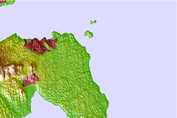
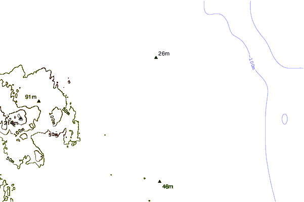
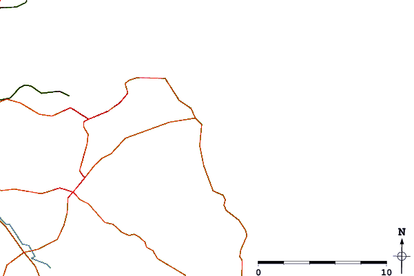
| Contours: | Roads & Rivers: | Select a
tide station / surf break / city |
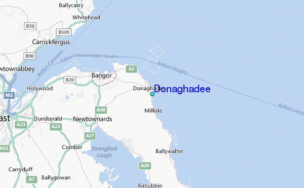
Use this relief map to navigate to tide stations, surf breaks and cities that are in the area of Donaghadee.
Other Nearby Locations' tide tables and tide charts to Donaghadee:
click location name for more details
 Surf breaks close to Donaghadee:
|
||
|---|---|---|
| Closest surf break | Peel | 44 mi |
| Second closest surf break | Carskiey Bay | 47 mi |
| Third closest surf break | Dunaverty Bay | 47 mi |
| Fourth closest surf break | Southend Reef | 47 mi |
| Fifth closest surf break | Ballycastle | 49 mi |


 Nearest
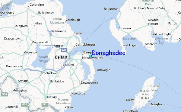