
| Distance / Altitude | Location | Report Date / Time | Live Weather | Wind | Gusts | Temp. | Visibility | Cloud |
|---|---|---|---|---|---|---|---|---|
| 167 km SE / 17 m | Hue Phubai Airport (Viet nam) | 2025-12-24 18:30 local (2025/12/24 11:30 GMT) | Dry and partly cloudy | light winds from the E (11 km/h at 80) | 25°C | 10.0 | scattered scattered | |
| 193 km WSW / 153 m | Nakhon Phanom Agromet (Thailand) | 2025-12-24 19:00 local (2025/12/24 12:00 GMT) | no report | calm (2 km/h at 290) | 34°C | 34 km | - few - | |
| 194 km WSW / 148 m | Nakhon Phanom (Thailand) | 2025-12-24 19:00 local (2025/12/24 12:00 GMT) | no report | calm (4 km/h at 110) | 27°C | 33 km | - scattered - | |
| 209 km WSW / 171 m | Nakhon Phanom Airport (Thailand) | 2025-12-24 18:00 local (2025/12/24 11:00 GMT) | Dry and partly cloudy | calm (0 km/h at 0) | 26°C | 10.0 | few scattered | |
| 222 km SW / 155 m | Savannakhet Airport (Lao) | 2025-12-24 19:00 local (2025/12/24 12:00 GMT) | Haze - | wind obs. (7 kph from 20 degs) was rejected (- km/h at -) | 25°C | 5.0 | scattered few | |
| 226 km SW / 140 m | Mukdahan (Thailand) | 2025-12-24 19:00 local (2025/12/24 12:00 GMT) | no report | calm (0 km/h at 280) | 37°C | - | - | |
| 233 km SE / 676 m | Da Nang International Airport (Viet Nam) | 2025-12-24 18:30 local (2025/12/24 11:30 GMT) | Dry and partly cloudy | light winds from the E (13 km/h at 80) | 24°C | 10.0 | few broken | |
| 265 km WSW / 172 m | SakonNakhon (Thailand) | 2025-12-24 19:00 local (2025/12/24 12:00 GMT) | no report | calm (4 km/h at 350) | 34°C | 30 km | - few - | |
| 266 km WSW / 105 m | Sakon Nakhon Airport (Thailand) | 2025-12-24 18:00 local (2025/12/24 11:00 GMT) | - | calm (2 km/h at 360) | — | 0.0 | ||
| 274 km SSW / 298 m | AmnatCharoen (Thailand) | 2025-12-24 19:00 local (2025/12/24 12:00 GMT) | no report | calm (4 km/h at 260) | 35°C | 30 km | - clear - |
| Contours: | Roads & Rivers: | Select a
tide station / surf break / city |
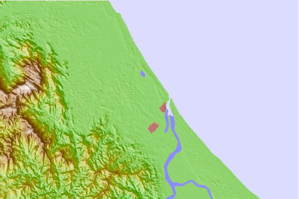
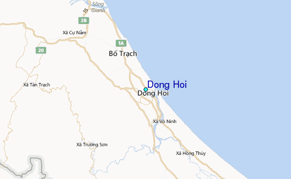
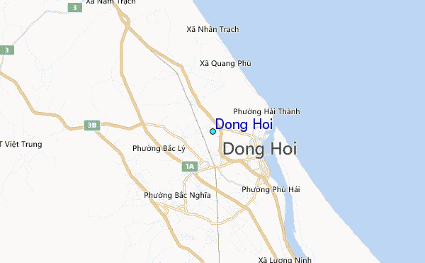
Use this relief map to navigate to tide stations, surf breaks and cities that are in the area of Dong Hoi.
Other Nearby Locations' tide tables and tide charts to Dong Hoi:
click location name for more details
 Surf breaks close to Dong Hoi:
|
||
|---|---|---|
| Closest surf break | Binh An | 126 mi |
| Second closest surf break | Lang Co | 130 mi |
| Third closest surf break | Nam O Point | 139 mi |
| Fourth closest surf break | My Khe / Da Nang | 147 mi |
| Fifth closest surf break | Non Nuoc | 149 mi |


 Nearest
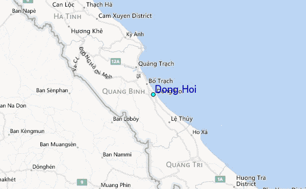